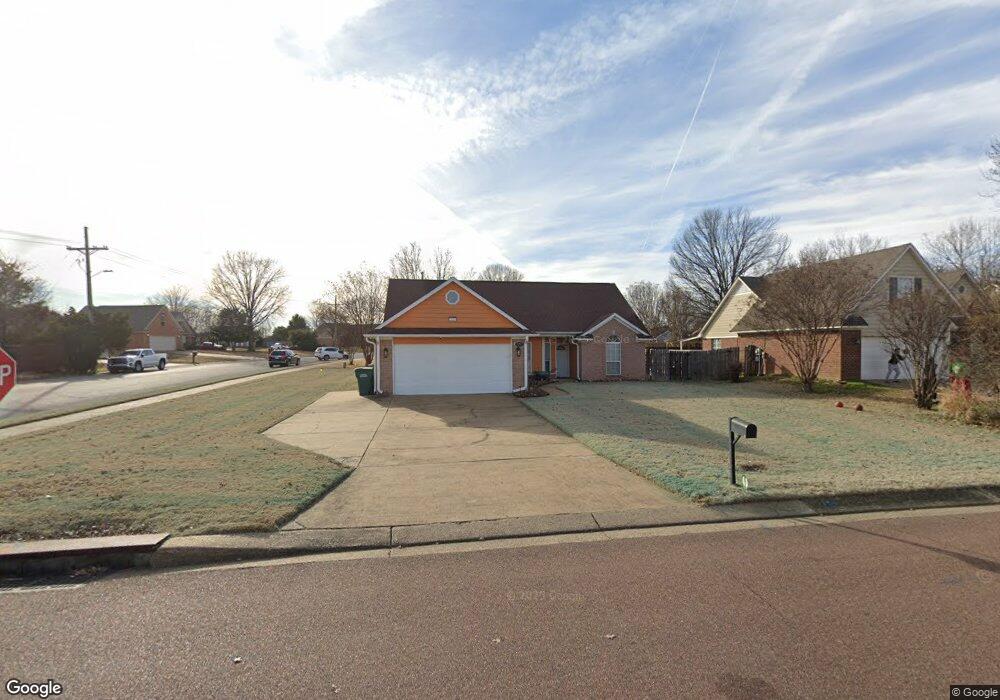
7757 Richland Dr Southaven, MS 38671
Estimated Value: $230,000 - $243,000
3
Beds
2
Baths
1,550
Sq Ft
$153/Sq Ft
Est. Value
About This Home
This home is located at 7757 Richland Dr, Southaven, MS 38671 and is currently estimated at $237,741, approximately $153 per square foot. 7757 Richland Dr is a home located in DeSoto County with nearby schools including Southaven Elementary School, Southaven Middle School, and Southaven High School.
Ownership History
Date
Name
Owned For
Owner Type
Purchase Details
Closed on
Nov 6, 2008
Sold by
Deutsche Bank National Trust Co
Bought by
Guehrn David L
Current Estimated Value
Home Financials for this Owner
Home Financials are based on the most recent Mortgage that was taken out on this home.
Original Mortgage
$124,112
Outstanding Balance
$81,188
Interest Rate
6.01%
Mortgage Type
VA
Estimated Equity
$156,553
Create a Home Valuation Report for This Property
The Home Valuation Report is an in-depth analysis detailing your home's value as well as a comparison with similar homes in the area
Home Values in the Area
Average Home Value in this Area
Purchase History
| Date | Buyer | Sale Price | Title Company |
|---|---|---|---|
| Guehrn David L | -- | Realty Title |
Source: Public Records
Mortgage History
| Date | Status | Borrower | Loan Amount |
|---|---|---|---|
| Open | Guehrn David L | $124,112 |
Source: Public Records
Tax History Compared to Growth
Tax History
| Year | Tax Paid | Tax Assessment Tax Assessment Total Assessment is a certain percentage of the fair market value that is determined by local assessors to be the total taxable value of land and additions on the property. | Land | Improvement |
|---|---|---|---|---|
| 2024 | $1,248 | $10,641 | $1,750 | $8,891 |
| 2023 | $1,248 | $10,641 | $0 | $0 |
| 2022 | $1,216 | $10,641 | $1,750 | $8,891 |
| 2021 | $1,216 | $10,641 | $1,750 | $8,891 |
| 2020 | $1,115 | $9,930 | $1,750 | $8,180 |
| 2019 | $1,115 | $9,930 | $1,750 | $8,180 |
| 2017 | $1,089 | $17,644 | $9,697 | $7,947 |
| 2016 | $1,089 | $10,136 | $1,750 | $8,386 |
| 2015 | $1,444 | $18,522 | $10,136 | $8,386 |
| 2014 | $1,151 | $10,136 | $0 | $0 |
| 2013 | $1,151 | $10,136 | $0 | $0 |
Source: Public Records
Map
Nearby Homes
- 7843 Chesterfield Dr S
- 7966 Chesterfield Dr S
- 7723 Davis Pkwy
- 7685 Davis Pkwy
- 900 Rasco Rd W
- 0 Coventry Dr
- 1620 Manchester Cove
- 8237 Chesterfield Dr
- 7764 Auburn Cove
- 601 Cottonbrook Cove
- 549 Cottonbrook Cove
- 798 Dinwiddie Cove
- 1810 Dorchester Dr
- 761 Farmington Dr N
- 1873 Merrimac Cove
- 1242 Brandywine Dr
- 8667 Chesterfield Dr
- 1825 Brookhaven Dr
- 1821 Tad Cove
- 8699 Chesterfield Dr
- 7769 Richland Dr
- 1180 Custer Dr E
- 7779 Richland Dr
- 7756 Richland Dr
- 7768 Richland Dr
- 1196 Custer Dr E
- 1177 Custer Dr E
- 7776 Richland Dr
- 7785 Richland Dr
- 7724 Richland Dr
- 1158 Richland Dr
- 1191 Custer Dr E
- 1212 Custer Dr E
- 7784 Richland Dr
- 7751 Denton Cove
- 7769 Denton Cove
- 1127 Richland Dr
- 7801 Richland Dr
- 1170 Richland Dr
- 7716 Truss Cove