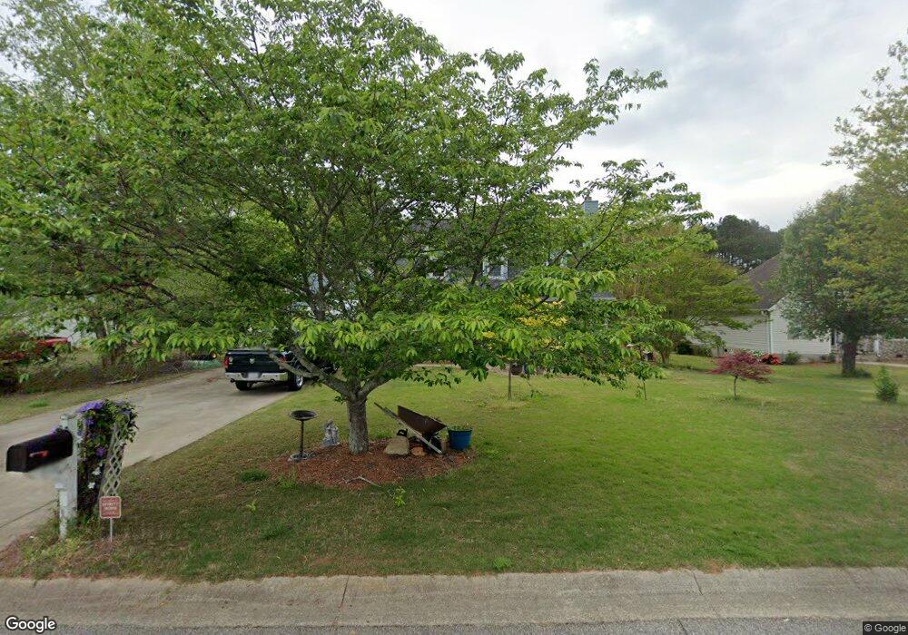
776 Brookelynn Trace Bethlehem, GA 30620
Estimated Value: $356,733 - $390,000
3
Beds
3
Baths
1,914
Sq Ft
$194/Sq Ft
Est. Value
About This Home
This home is located at 776 Brookelynn Trace, Bethlehem, GA 30620 and is currently estimated at $371,683, approximately $194 per square foot. 776 Brookelynn Trace is a home located in Barrow County with nearby schools including Yargo Elementary School, Haymon-Morris Middle School, and Apalachee High School.
Ownership History
Date
Name
Owned For
Owner Type
Purchase Details
Closed on
Jun 29, 1998
Sold by
Bryler Homes
Bought by
Gregory Ronald L
Current Estimated Value
Home Financials for this Owner
Home Financials are based on the most recent Mortgage that was taken out on this home.
Original Mortgage
$124,300
Outstanding Balance
$25,659
Interest Rate
7.1%
Mortgage Type
New Conventional
Estimated Equity
$346,024
Purchase Details
Closed on
Feb 2, 1998
Sold by
C G S Development In
Bought by
Bryler Homes Inc
Purchase Details
Closed on
Jul 9, 1996
Bought by
C G S Development In
Create a Home Valuation Report for This Property
The Home Valuation Report is an in-depth analysis detailing your home's value as well as a comparison with similar homes in the area
Home Values in the Area
Average Home Value in this Area
Purchase History
| Date | Buyer | Sale Price | Title Company |
|---|---|---|---|
| Gregory Ronald L | $130,900 | -- | |
| Bryler Homes Inc | $38,000 | -- | |
| C G S Development In | -- | -- |
Source: Public Records
Mortgage History
| Date | Status | Borrower | Loan Amount |
|---|---|---|---|
| Open | Gregory Ronald L | $124,300 |
Source: Public Records
Tax History Compared to Growth
Tax History
| Year | Tax Paid | Tax Assessment Tax Assessment Total Assessment is a certain percentage of the fair market value that is determined by local assessors to be the total taxable value of land and additions on the property. | Land | Improvement |
|---|---|---|---|---|
| 2024 | $2,409 | $106,410 | $26,800 | $79,610 |
| 2023 | $2,749 | $106,810 | $26,800 | $80,010 |
| 2022 | $2,430 | $92,046 | $22,400 | $69,646 |
| 2021 | $2,416 | $86,464 | $16,000 | $70,464 |
| 2020 | $2,023 | $69,697 | $16,000 | $53,697 |
| 2019 | $2,057 | $69,697 | $16,000 | $53,697 |
| 2018 | $1,969 | $66,877 | $13,200 | $53,677 |
| 2017 | $1,724 | $59,226 | $13,200 | $46,026 |
| 2016 | $1,501 | $51,945 | $13,200 | $38,745 |
| 2015 | $1,520 | $52,382 | $13,200 | $39,182 |
| 2014 | $1,326 | $45,487 | $6,468 | $39,019 |
| 2013 | -- | $42,685 | $6,468 | $36,217 |
Source: Public Records
Map
Nearby Homes
- 303 Ron Dr
- 209 Angie Way
- 1111 Otis Dr
- 1129 Loganville Hwy
- 758 Clarence Edwards Rd
- 1024 Lyndhurst Ln
- 0 Jb Owens Unit 7552902
- 0 Jb Owens Unit 7552891
- 0 Jb Owens Unit LOT 2 - 2.09 ACRES
- 0 Jb Owens Unit LOT 3 - 2.01 ACRES
- 190 Lokeys Ln
- 1164 Otis Dr
- 720 Westbury Ct
- 738 Worth Ct
- 724 Westbury Dr
- The Barnes Plan at River Meadows
- The Paisley Plan at River Meadows
- The Rose II Plan at River Meadows
- The Logan Plan at River Meadows
- 236 Vision St
- 774 Brookelynn Trace
- 778 Brookelynn Trace
- 778 Brookelyn Trace
- 780 Brookelynn Trace
- 201 Angie Way Unit 2
- 179 Cole Cir Unit 1
- 770 Brookelynn Trace
- 183 Cole Cir
- 782 Brookelynn Trace
- 171 Cole Cir
- 203 Angie Way
- 200 Angie Way
- 535 Harvey Lokey Rd
- 185 Cole Cir
- 0 Cole Cir Unit 7162432
- 0 Cole Cir Unit 8467353
- 0 Cole Cir Unit 8004179
- 0 Cole Cir Unit 7149712
- 0 Cole Cir Unit 8895316
- 0 Cole Cir Unit 3227608