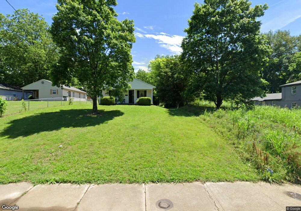
776 Porter St Memphis, TN 38126
South City NeighborhoodEstimated Value: $201,000
Studio
1
Bath
--
Sq Ft
7,405
Sq Ft
About This Home
This home is located at 776 Porter St, Memphis, TN 38126 and is currently estimated at $201,000. 776 Porter St is a home located in Shelby County with nearby schools including Cummings K-8, Booker T. Washington Middle & High School, and Soulsville Charter School.
Ownership History
Date
Name
Owned For
Owner Type
Purchase Details
Closed on
Jan 23, 2024
Sold by
Habitat For Humanity Of Greater Memphis
Bought by
Zechondra L Porter Family Trust
Current Estimated Value
Purchase Details
Closed on
Oct 12, 2009
Sold by
Bragg Adrienne
Bought by
Habitat For Humanity
Purchase Details
Closed on
Oct 21, 1999
Sold by
Habitat For Humanity Of Greater Memphis
Bought by
Bragg Adrienne
Home Financials for this Owner
Home Financials are based on the most recent Mortgage that was taken out on this home.
Original Mortgage
$41,000
Interest Rate
7.7%
Mortgage Type
Seller Take Back
Create a Home Valuation Report for This Property
The Home Valuation Report is an in-depth analysis detailing your home's value as well as a comparison with similar homes in the area
Home Values in the Area
Average Home Value in this Area
Purchase History
| Date | Buyer | Sale Price | Title Company |
|---|---|---|---|
| Zechondra L Porter Family Trust | $1,500 | None Listed On Document | |
| Habitat For Humanity | $25,796 | None Available | |
| Bragg Adrienne | $41,000 | Southern Escrow Title Compan | |
| Bragg Adrienne | $41,000 | Southern Escrow Title Compan |
Source: Public Records
Mortgage History
| Date | Status | Borrower | Loan Amount |
|---|---|---|---|
| Previous Owner | Bragg Adrienne | $41,000 |
Source: Public Records
Tax History
| Year | Tax Paid | Tax Assessment Tax Assessment Total Assessment is a certain percentage of the fair market value that is determined by local assessors to be the total taxable value of land and additions on the property. | Land | Improvement |
|---|---|---|---|---|
| 2025 | $24 | $1,750 | $1,750 | -- |
| 2024 | -- | -- | -- | -- |
| 2022 | $46 | $750 | $750 | $0 |
| 2021 | $46 | $750 | $750 | $0 |
| 2020 | $54 | $750 | $750 | $0 |
| 2019 | $54 | $750 | $750 | $0 |
| 2018 | $54 | $750 | $750 | $0 |
| 2017 | $31 | $750 | $750 | $0 |
| 2016 | $33 | $750 | $0 | $0 |
| 2014 | $211 | $8,350 | $0 | $0 |
Source: Public Records
Map
Nearby Homes
- 811 Porter St
- 717 Hilyard Ln
- 710 Polk Ave
- 1100 S Orleans St
- 936 Porter St
- 925 Knight Place
- 583 E E H Crump Blvd
- 0 Wicks St
- 862 S Lauderdale St
- 481 E E H Crump Blvd
- 475 E Georgia Ave
- 471 E Georgia Ave
- 317 E Georgia Ave
- 1055 Shaw Place
- 1111 Walker Ave
- 1109 Walker Ave
- 1061 Shaw Place
- 664 E Alston Ave
- 670 E Alston Ave
- 646 E Alston Ave
Your Personal Tour Guide
Ask me questions while you tour the home.