776 W Desert Dr Quartzsite, AZ 85346
Estimated Value: $96,000 - $162,000
--
Bed
--
Bath
--
Sq Ft
6,098
Sq Ft Lot
About This Home
This home is located at 776 W Desert Dr, Quartzsite, AZ 85346 and is currently estimated at $133,185. 776 W Desert Dr is a home located in La Paz County with nearby schools including Salome High School.
Ownership History
Date
Name
Owned For
Owner Type
Purchase Details
Closed on
Oct 28, 2024
Sold by
Lofthouse Christopher W and Lyn Ann
Bought by
Lofthouse Family Trust and Lofthouse
Current Estimated Value
Purchase Details
Closed on
Mar 15, 2024
Sold by
Marriott Paul T and Marriott Gillian L
Bought by
Lofthouse Christopher W and Lofthouse Lyn Ann
Purchase Details
Closed on
Feb 6, 2012
Sold by
Dunn Ernest G and Dunn Cheryl A
Bought by
Marriott Paul T and Marriott Gillian L
Purchase Details
Closed on
Feb 16, 2005
Sold by
Lanier Donald W and Kays Marlene
Bought by
Dunn Ernest G and Dunn Cheryl A
Create a Home Valuation Report for This Property
The Home Valuation Report is an in-depth analysis detailing your home's value as well as a comparison with similar homes in the area
Home Values in the Area
Average Home Value in this Area
Purchase History
| Date | Buyer | Sale Price | Title Company |
|---|---|---|---|
| Lofthouse Family Trust | -- | None Listed On Document | |
| Lofthouse Family Trust | -- | None Listed On Document | |
| Lofthouse Christopher W | $110,000 | Pioneer Title | |
| Marriott Paul T | $59,000 | Chicago Title Agency Inc | |
| Dunn Ernest G | $42,000 | La Paz Title |
Source: Public Records
Tax History Compared to Growth
Tax History
| Year | Tax Paid | Tax Assessment Tax Assessment Total Assessment is a certain percentage of the fair market value that is determined by local assessors to be the total taxable value of land and additions on the property. | Land | Improvement |
|---|---|---|---|---|
| 2025 | $515 | $31,908 | -- | -- |
| 2023 | $515 | $28,942 | $0 | $0 |
| 2022 | $452 | $27,564 | $0 | $0 |
| 2021 | $541 | $29,388 | $0 | $0 |
| 2020 | $542 | $29,350 | $0 | $0 |
| 2019 | $548 | $4,395 | $0 | $0 |
| 2018 | $534 | $9,677 | $0 | $0 |
| 2017 | $655 | $0 | $0 | $0 |
| 2016 | $667 | $0 | $0 | $0 |
| 2015 | $755 | $0 | $0 | $0 |
| 2014 | -- | $0 | $0 | $0 |
Source: Public Records
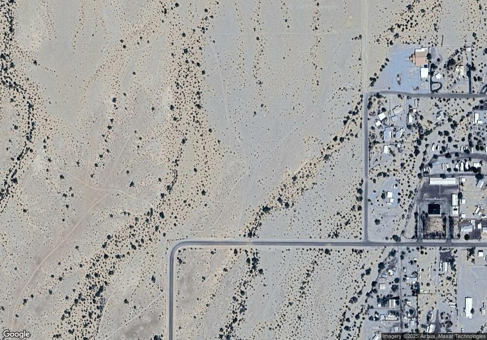
Map
Nearby Homes
- 775 W Comanche Dr
- 648 Emerald Dr
- 625 Comanche Dr
- 598 W Emerald Dr
- 605 Arrowhead Dr
- 661 Granada Dr
- 860 S Connor Ln
- 675 S Connor Ln
- 595 S Connor Ln
- 875 S Connor Ln
- 616 W Hagley Loop
- 620 W Hagley Loop
- 1055 Kuehn St
- 864 W Main St
- xxxxx Kofa Ave
- 1090 W Main St
- 1240 Acacia Rd Unit 14
- xxxx S Quartzsite Ave Unit 1
- 315 E Main St
- 641A W Cowell St
- 776 W Desert Dr
- 776 W Desert Dr
- 765 W Comanche Dr
- 736 Desert Dr
- 745 W Desert Dr
- 76626 57th St
- 76626 57th St
- 76626 57th St
- 76626 57th St
- 746 W Comanche Dr
- 735 Comanche Dr
- 736 Emerald Dr
- 736 Emerald Dr
- 736 Comanche Dr
- 705 W Comanche Dr
- 775 W Emerald Dr
- 775 W Emerald Dr
- 765 W Emerald Dr
- 765 W Emerald Dr
- 49595 Emerald Dr