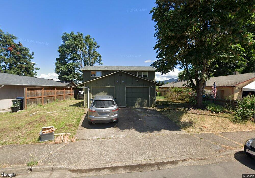
776 W Quinalt St Springfield, OR 97477
West Springfield NeighborhoodEstimated Value: $385,000 - $420,000
4
Beds
4
Baths
1,920
Sq Ft
$212/Sq Ft
Est. Value
About This Home
This home is located at 776 W Quinalt St, Springfield, OR 97477 and is currently estimated at $407,781, approximately $212 per square foot. 776 W Quinalt St is a home located in Lane County with nearby schools including Centennial Elementary School, Hamlin Middle School, and Springfield High School.
Ownership History
Date
Name
Owned For
Owner Type
Purchase Details
Closed on
Dec 16, 2022
Sold by
Porter Lisa M
Bought by
Ulua Properties Llc
Current Estimated Value
Home Financials for this Owner
Home Financials are based on the most recent Mortgage that was taken out on this home.
Original Mortgage
$284,000
Outstanding Balance
$140,018
Interest Rate
6.95%
Mortgage Type
Seller Take Back
Estimated Equity
$267,763
Purchase Details
Closed on
Dec 21, 2001
Sold by
Porter Robert and Porter Lisa
Bought by
Porter Robert M and Porter Lisa M
Create a Home Valuation Report for This Property
The Home Valuation Report is an in-depth analysis detailing your home's value as well as a comparison with similar homes in the area
Home Values in the Area
Average Home Value in this Area
Purchase History
| Date | Buyer | Sale Price | Title Company |
|---|---|---|---|
| Ulua Properties Llc | $335,000 | Evergreen Land Title | |
| Porter Robert M | -- | Cascade Title Co |
Source: Public Records
Mortgage History
| Date | Status | Borrower | Loan Amount |
|---|---|---|---|
| Open | Ulua Properties Llc | $284,000 |
Source: Public Records
Tax History Compared to Growth
Tax History
| Year | Tax Paid | Tax Assessment Tax Assessment Total Assessment is a certain percentage of the fair market value that is determined by local assessors to be the total taxable value of land and additions on the property. | Land | Improvement |
|---|---|---|---|---|
| 2024 | $3,781 | $203,470 | -- | -- |
| 2023 | $3,781 | $197,544 | $0 | $0 |
| 2022 | $3,502 | $191,791 | $0 | $0 |
| 2021 | $3,439 | $186,205 | $0 | $0 |
| 2020 | $3,338 | $180,782 | $0 | $0 |
| 2019 | $3,238 | $175,517 | $0 | $0 |
| 2018 | $3,052 | $165,442 | $0 | $0 |
| 2017 | $2,935 | $165,442 | $0 | $0 |
| 2016 | $2,873 | $160,623 | $0 | $0 |
| 2015 | $2,766 | $155,945 | $0 | $0 |
| 2014 | $2,687 | $151,403 | $0 | $0 |
Source: Public Records
Map
Nearby Homes
- 751 W Fairview Dr
- 1051 W Fairview Dr
- 1120 W Fairview Dr Unit 3
- 550 W N St
- 416 Lochaven Ave
- 328 Scotts Glen Dr
- 2386 Clear Vue Ln
- 1523 W Fairview Dr
- 428 W Centennial Blvd
- 2150 Laura St Unit 57
- 2150 Laura St Unit 119
- 2150 Laura St Unit 39
- 2150 Laura (#57) St Unit 57
- 1580 Linden Ave
- 2165 Laura St
- 1210 Kenray Loop
- 1266 Kenray Loop
- 952 Summit Blvd
- 930 Prescott Ln
- 1267 Kenray Loop
- 776 W Quinalt St
- 754 W Quinalt St
- 786 W Quinalt St
- 732 W Quinalt St
- 810 W Quinalt St
- 783 W Quinalt St
- 755 W Quinalt St
- 724 W Quinalt St
- 816 W Quinalt St
- 1741 Rainbow Loop
- 733 W Quinalt St
- 712 W Quinalt St
- 818 W Quinalt St
- 1733 Rainbow Loop
- 725 W Quinalt St
- 1754 Rainbow Loop
- 684 W Quinalt St
- 820 W Quinalt St
- 823 W Quinalt St
- 721 W Quinalt St