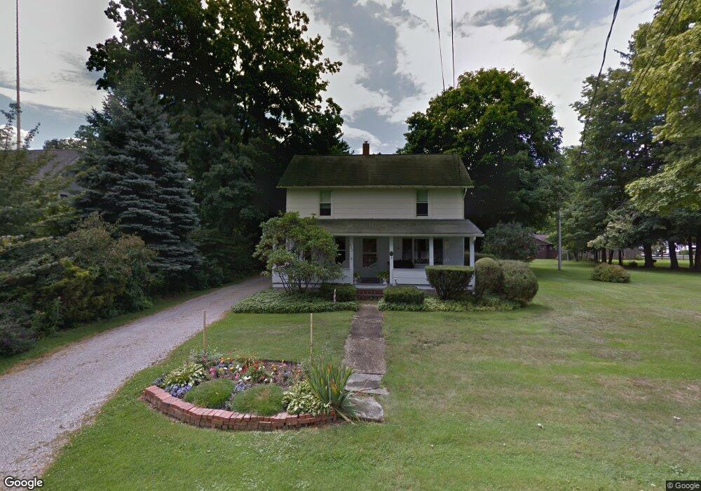
7762 Maple St Willoughby, OH 44094
Estimated Value: $207,836 - $255,000
3
Beds
1
Bath
930
Sq Ft
$248/Sq Ft
Est. Value
About This Home
This home is located at 7762 Maple St, Willoughby, OH 44094 and is currently estimated at $230,209, approximately $247 per square foot. 7762 Maple St is a home located in Lake County with nearby schools including Kirtland Elementary School, Kirtland Middle School, and Kirtland High School.
Ownership History
Date
Name
Owned For
Owner Type
Purchase Details
Closed on
Dec 18, 1997
Sold by
Group Vi Ltd
Bought by
Marous Realty
Current Estimated Value
Home Financials for this Owner
Home Financials are based on the most recent Mortgage that was taken out on this home.
Original Mortgage
$1,500,000
Outstanding Balance
$228,581
Interest Rate
7.28%
Estimated Equity
$1,628
Purchase Details
Closed on
Jul 28, 1982
Bought by
Robb Jackson L
Create a Home Valuation Report for This Property
The Home Valuation Report is an in-depth analysis detailing your home's value as well as a comparison with similar homes in the area
Home Values in the Area
Average Home Value in this Area
Purchase History
| Date | Buyer | Sale Price | Title Company |
|---|---|---|---|
| Marous Realty | $1,875,000 | Continental Title Agency Cor | |
| Robb Jackson L | -- | -- |
Source: Public Records
Mortgage History
| Date | Status | Borrower | Loan Amount |
|---|---|---|---|
| Open | Marous Realty | $1,500,000 |
Source: Public Records
Tax History
| Year | Tax Paid | Tax Assessment Tax Assessment Total Assessment is a certain percentage of the fair market value that is determined by local assessors to be the total taxable value of land and additions on the property. | Land | Improvement |
|---|---|---|---|---|
| 2025 | -- | $67,340 | $17,770 | $49,570 |
| 2024 | -- | $67,340 | $17,770 | $49,570 |
| 2023 | $5,052 | $48,240 | $15,380 | $32,860 |
| 2022 | $2,074 | $48,240 | $15,380 | $32,860 |
| 2021 | $2,075 | $48,240 | $15,380 | $32,860 |
| 2020 | $1,733 | $38,590 | $12,300 | $26,290 |
| 2019 | $1,731 | $38,590 | $12,300 | $26,290 |
| 2018 | $1,866 | $39,610 | $17,230 | $22,380 |
| 2017 | $1,946 | $39,610 | $17,230 | $22,380 |
| 2016 | $1,941 | $39,610 | $17,230 | $22,380 |
| 2015 | $1,889 | $39,610 | $17,230 | $22,380 |
| 2014 | $1,911 | $39,610 | $17,230 | $22,380 |
| 2013 | $1,856 | $39,610 | $17,230 | $22,380 |
Source: Public Records
Map
Nearby Homes
- 39540 Tudor Dr
- 39470 Stillman Ln Unit 13
- 39489 Tudor Dr
- SL 9 Stillman Ln
- 7265 Markell Rd
- SL 10 Stillman Ln
- SL 17 Stillman Ln
- 4325 Tudor Dr
- 4670 Figgie Dr
- 39315 King Edward Ct
- S/L 2 Giovanni Ave
- 8330 Paddock Ct
- 8304 Clydesdale Dr
- 8285 Steeplechase Dr
- 9700 Rollin Rd
- 38850 Harmondale Dr
- 8228 Deepwood Blvd Unit 3
- 9735 Chillicothe Rd Unit 54
- 9735 Chillicothe Rd Unit 26
- 9735 Chillicothe Rd Unit 5
- 7772 Maple St
- 7765 Maple St
- 9051 Coudry Dr
- 7752 Maple St
- 7748 Maple St
- 9026 Coudry Dr
- 8976 Conley Dr
- 7785 Joseph St
- 9056 Coudry Dr
- 9034 Coudry Dr
- 7743 Maple St
- 8980 Chillicothe Rd
- 9011 Bluff Rd
- 7789 Joseph St
- 7763 Joseph St
- 7755 Joseph St
- 8968 Conley Dr
- 9068 Coudry Dr
- 8999 Bluff Rd
- 8995 Chillicothe Rd
Your Personal Tour Guide
Ask me questions while you tour the home.