777 Buck Mountain Trail Cookeville, TN 38506
Estimated Value: $195,000 - $316,000
--
Bed
1
Bath
950
Sq Ft
$264/Sq Ft
Est. Value
About This Home
This home is located at 777 Buck Mountain Trail, Cookeville, TN 38506 and is currently estimated at $250,435, approximately $263 per square foot. 777 Buck Mountain Trail is a home located in Putnam County with nearby schools including Capshaw Elementary School, Cookeville High School, and Avery Trace Middle School.
Ownership History
Date
Name
Owned For
Owner Type
Purchase Details
Closed on
Nov 13, 2024
Sold by
Militana Gary A and Militana Norma K
Bought by
Gary And Karen Militana Joint Revocable Livin and Militana
Current Estimated Value
Purchase Details
Closed on
Aug 22, 1990
Purchase Details
Closed on
Feb 13, 1989
Bought by
Warren Don and Warren Linda
Purchase Details
Closed on
Jan 12, 1989
Bought by
Citizens Bank
Purchase Details
Closed on
Aug 18, 1982
Bought by
Citizens Bank
Create a Home Valuation Report for This Property
The Home Valuation Report is an in-depth analysis detailing your home's value as well as a comparison with similar homes in the area
Home Values in the Area
Average Home Value in this Area
Purchase History
| Date | Buyer | Sale Price | Title Company |
|---|---|---|---|
| Gary And Karen Militana Joint Revocable Livin | -- | None Listed On Document | |
| -- | $270,000 | -- | |
| Re-Recorded | -- | -- | |
| Militana Gary A | -- | -- | |
| Warren Don | $35,000 | -- | |
| Citizens Bank | -- | -- | |
| Citizens Bank | -- | -- |
Source: Public Records
Tax History Compared to Growth
Tax History
| Year | Tax Paid | Tax Assessment Tax Assessment Total Assessment is a certain percentage of the fair market value that is determined by local assessors to be the total taxable value of land and additions on the property. | Land | Improvement |
|---|---|---|---|---|
| 2024 | $1,222 | $45,925 | $7,975 | $37,950 |
| 2023 | $1,222 | $45,925 | $7,975 | $37,950 |
| 2022 | $1,135 | $45,925 | $7,975 | $37,950 |
| 2021 | $1,135 | $45,925 | $7,975 | $37,950 |
| 2020 | $1,054 | $45,925 | $7,975 | $37,950 |
| 2019 | $1,054 | $36,025 | $7,975 | $28,050 |
| 2018 | $983 | $36,025 | $7,975 | $28,050 |
| 2017 | $983 | $36,025 | $7,975 | $28,050 |
| 2016 | $983 | $36,025 | $7,975 | $28,050 |
| 2015 | $1,011 | $36,025 | $7,975 | $28,050 |
| 2014 | $1,068 | $38,082 | $0 | $0 |
Source: Public Records
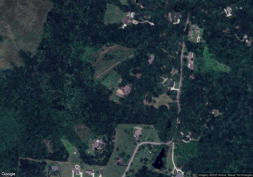
Map
Nearby Homes
- 0 Mountain Top Ln
- 0 Whites Point Dr Unit 239313
- 2100 Pinnacle View
- 143 Old Qualls Rd
- 4595 Poplar Grove Rd
- 3447 Shenandoah Ln
- 546 Geeseway Dr
- 461 S Plantation Dr
- 488 S Plantation Dr
- 484 S Plantation Dr
- 0 S Plantation Dr
- 333 New Heritage Dr
- 322 New Heritage Dr
- 3524 Heritage Green Way
- 3516 Heritage Green Way
- 0 Burton Cove Rd
- 1253 S Dry Valley Rd
- 167 Parragon Rd
- 2818 Oak Haven Place
- 777 Buck Mountain Trail
- 739 Buck Mountain Trail
- 707 Buck Mountain Trail
- 825 Mountain Top Ln
- 1025 Mountain Top Ln
- 3.89 AC Mountain Top Ln
- LOT 68 Mountain Top Ln
- 47 AC Mountain Top Ln
- Lot 9 Mountain Top Ln
- LOT 8 Mountain Top Ln
- LOT 60 Mountain Top Ln
- Lot 7 Mountain Top Ln
- 225 Mountain Top Ln
- 201 Mountain Top Ln
- 929 Buck Mountain Trail
- 697 Buck Mountain Trail
- 673 Buck Mountain Trail
- 1087 Mountain Top Ln
- 756 Mountain Top Ln
- 910 Mountain Top Ln