777 Logans Ln West Union, OH 45693
Estimated Value: $159,000 - $205,059
3
Beds
2
Baths
1,327
Sq Ft
$136/Sq Ft
Est. Value
About This Home
This home is located at 777 Logans Ln, West Union, OH 45693 and is currently estimated at $180,015, approximately $135 per square foot. 777 Logans Ln is a home located in Adams County with nearby schools including West Union Elementary School, West Union High School, and Adams County Christian School.
Ownership History
Date
Name
Owned For
Owner Type
Purchase Details
Closed on
Apr 2, 2018
Sold by
Mcclanahan Leslie Ann
Bought by
Lewis Bellamy Sarene M and Bellamy Brian M
Current Estimated Value
Home Financials for this Owner
Home Financials are based on the most recent Mortgage that was taken out on this home.
Original Mortgage
$102,000
Outstanding Balance
$74,086
Interest Rate
4.4%
Mortgage Type
New Conventional
Estimated Equity
$105,929
Purchase Details
Closed on
May 1, 1996
Bought by
Francis Charles W
Create a Home Valuation Report for This Property
The Home Valuation Report is an in-depth analysis detailing your home's value as well as a comparison with similar homes in the area
Home Values in the Area
Average Home Value in this Area
Purchase History
| Date | Buyer | Sale Price | Title Company |
|---|---|---|---|
| Lewis Bellamy Sarene M | $120,000 | Stewart Title Company | |
| Francis Charles W | $75,300 | -- |
Source: Public Records
Mortgage History
| Date | Status | Borrower | Loan Amount |
|---|---|---|---|
| Open | Lewis Bellamy Sarene M | $102,000 |
Source: Public Records
Tax History Compared to Growth
Tax History
| Year | Tax Paid | Tax Assessment Tax Assessment Total Assessment is a certain percentage of the fair market value that is determined by local assessors to be the total taxable value of land and additions on the property. | Land | Improvement |
|---|---|---|---|---|
| 2024 | $1,445 | $42,560 | $7,280 | $35,280 |
| 2023 | $1,454 | $42,560 | $7,280 | $35,280 |
| 2022 | $1,443 | $33,780 | $5,040 | $28,740 |
| 2021 | $1,241 | $33,780 | $5,040 | $28,740 |
| 2020 | $1,270 | $33,780 | $5,040 | $28,740 |
| 2019 | $1,270 | $33,780 | $5,040 | $28,740 |
| 2018 | $1,107 | $30,030 | $5,040 | $24,990 |
| 2017 | $1,089 | $30,030 | $5,040 | $24,990 |
| 2016 | $1,087 | $30,030 | $5,040 | $24,990 |
| 2015 | $1,143 | $32,660 | $6,020 | $26,640 |
| 2014 | $1,143 | $32,660 | $6,020 | $26,640 |
Source: Public Records
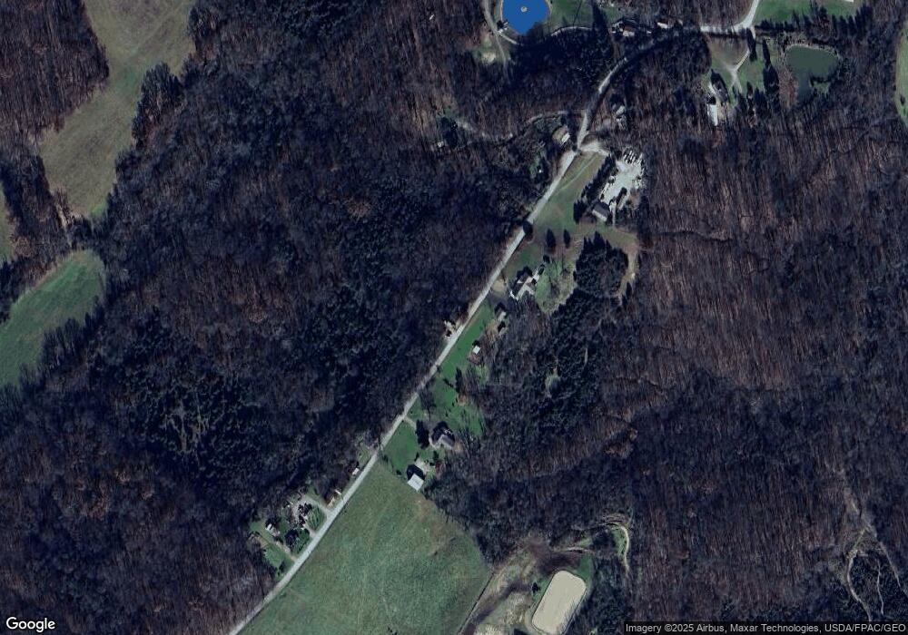
Map
Nearby Homes
- 917 Logans Ln
- 120 Randy St
- 260 Randy St
- 618 Maple St
- 216 Kurt St
- 70 Logans Ln
- 3188 Ohio 125
- 204 E North St
- 501 E Mulberry St
- 601 E Main St
- 3 Chapparal Rd
- 2 Chapparal Rd
- 1 Chapparal Rd
- 4 Chapparal Rd
- 12196 State Route 41
- 104 N Washington St
- 526 E Walnut St
- 725 E Walnut St
- 302 W Main St
- 1478 Robinson Hollow Rd