Estimated Value: $462,576 - $583,000
4
Beds
3
Baths
1,332
Sq Ft
$389/Sq Ft
Est. Value
About This Home
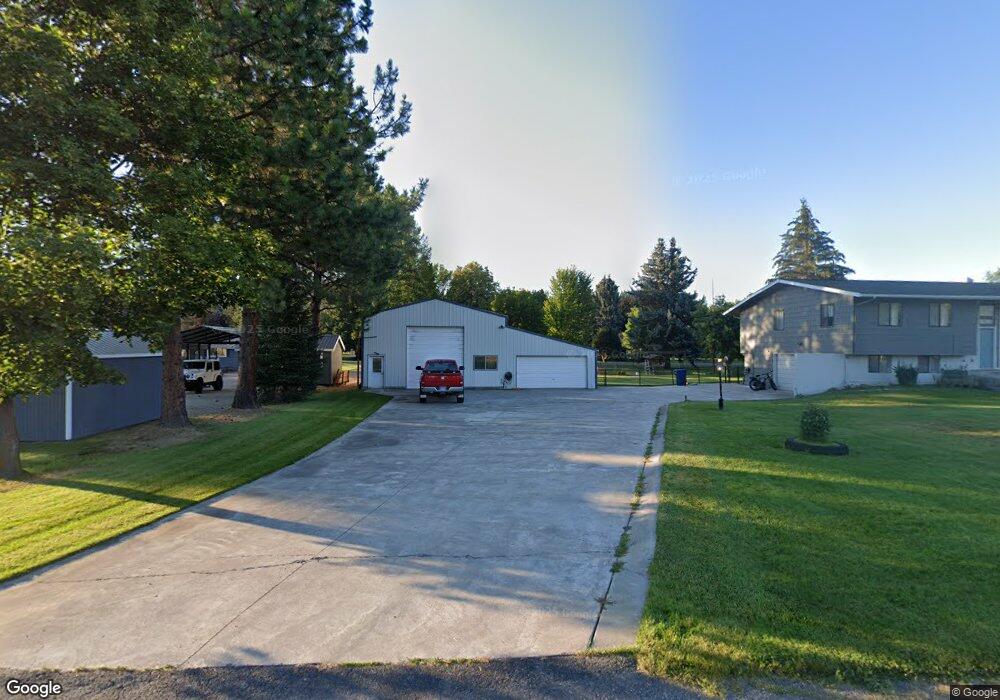
This home is located at 777 Northwood Ave, Libby, MT 59923 and is currently estimated at $517,644, approximately $388 per square foot. 777 Northwood Ave is a home located in Lincoln County with nearby schools including Libby Elementary School, Libby High School, and Kootenai Valley Christian School.
Ownership History
Date
Name
Owned For
Owner Type
Purchase Details
Closed on
Sep 24, 2021
Sold by
Guthrie Garman V
Bought by
Guthrie Anna M
Current Estimated Value
Home Financials for this Owner
Home Financials are based on the most recent Mortgage that was taken out on this home.
Original Mortgage
$300,000
Outstanding Balance
$272,978
Interest Rate
2.8%
Mortgage Type
New Conventional
Estimated Equity
$244,666
Purchase Details
Closed on
Sep 22, 2021
Sold by
Guthrie Anna M
Bought by
Lamkins Katie M
Home Financials for this Owner
Home Financials are based on the most recent Mortgage that was taken out on this home.
Original Mortgage
$300,000
Outstanding Balance
$272,978
Interest Rate
2.8%
Mortgage Type
New Conventional
Estimated Equity
$244,666
Create a Home Valuation Report for This Property
The Home Valuation Report is an in-depth analysis detailing your home's value as well as a comparison with similar homes in the area
Home Values in the Area
Average Home Value in this Area
Purchase History
| Date | Buyer | Sale Price | Title Company |
|---|---|---|---|
| Guthrie Anna M | -- | -- | |
| Lamkins Katie M | -- | First American Title |
Source: Public Records
Mortgage History
| Date | Status | Borrower | Loan Amount |
|---|---|---|---|
| Open | Lamkins Katie M | $300,000 |
Source: Public Records
Tax History Compared to Growth
Tax History
| Year | Tax Paid | Tax Assessment Tax Assessment Total Assessment is a certain percentage of the fair market value that is determined by local assessors to be the total taxable value of land and additions on the property. | Land | Improvement |
|---|---|---|---|---|
| 2025 | $1,706 | $496,100 | $0 | $0 |
| 2024 | $2,394 | $427,600 | $0 | $0 |
| 2023 | $2,996 | $427,600 | $0 | $0 |
| 2022 | $1,673 | $264,000 | $0 | $0 |
| 2021 | $2,083 | $264,000 | $0 | $0 |
| 2020 | $1,971 | $231,800 | $0 | $0 |
| 2019 | $1,955 | $231,800 | $0 | $0 |
| 2018 | $1,878 | $216,600 | $0 | $0 |
| 2017 | $1,696 | $216,600 | $0 | $0 |
| 2016 | $2,020 | $239,800 | $0 | $0 |
| 2015 | $1,483 | $239,800 | $0 | $0 |
| 2014 | $1,513 | $123,808 | $0 | $0 |
Source: Public Records
Map
Nearby Homes
- 475 Northwood Ave
- 78 Airstrip Rd
- 95 Edgewater Dr
- 142 Edgewater Dr
- 308 Dakota Ave
- 609 Minnesota Ave
- 613 Minnesota Ave
- 286 Edgewater Dr
- 118 Pine Grove Place
- 700 Airfield Rd
- 109 W 2nd St
- 118 E Lincoln Blvd
- 505 E 10th St
- 1022 Dakota Ave
- 703 California Ave
- 804 Mineral Ave
- 305 W 6th St
- 808 Mineral Ave
- 1210 Dakota Ave
- 919 Mineral Ave
- 797 Northwood Ave
- 242 Kootenai Dr
- 259 Kootenai Dr
- 299 Kootenai Dr
- 265 Kootenai Dr
- 224 Kootenai Dr
- 864 Kootenai Dr
- 730 Kootenai Dr
- Lot 5 Kootenai Dr
- 321 Kootenai Dr
- 287 Kootenai Dr
- 241 Kootenai Dr
- 0 Kootenai River Rd Unit 21809364
- 0 Kootenai River Rd Unit 21809361
- 0 Kootenai River Rd Unit 250811
- 844 Northwood Ave
- 203 Kootenai Dr
- 176 Kootenai Dr