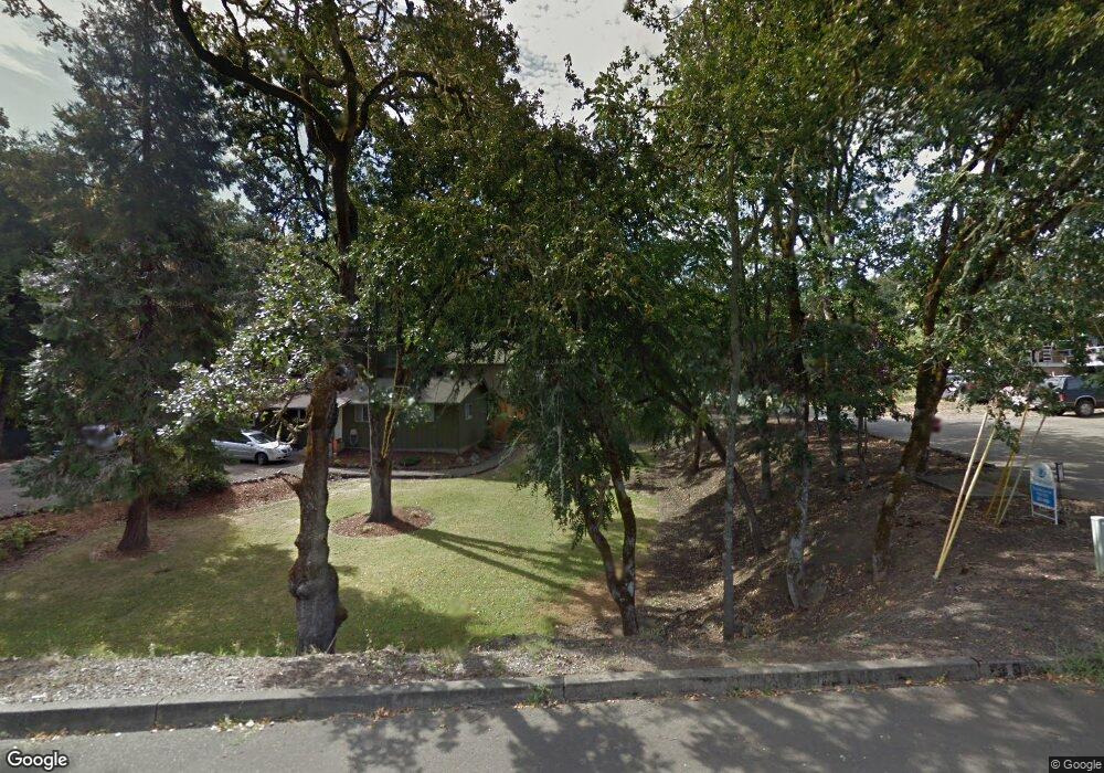
777 Page Rd Winchester, OR 97495
Roseburg North NeighborhoodEstimated Value: $387,968 - $629,000
3
Beds
2
Baths
2,189
Sq Ft
$246/Sq Ft
Est. Value
About This Home
This home is located at 777 Page Rd, Winchester, OR 97495 and is currently estimated at $538,242, approximately $245 per square foot. 777 Page Rd is a home located in Douglas County with nearby schools including Winchester Elementary School, Joseph Lane Middle School, and Roseburg High School.
Ownership History
Date
Name
Owned For
Owner Type
Purchase Details
Closed on
Dec 28, 2004
Sold by
Fernandes John R and Fernandes Mary C
Bought by
Hernandez John L and Hernandez Toni R
Current Estimated Value
Home Financials for this Owner
Home Financials are based on the most recent Mortgage that was taken out on this home.
Original Mortgage
$200,000
Interest Rate
5.74%
Mortgage Type
Seller Take Back
Purchase Details
Closed on
Aug 30, 2004
Sold by
Hughey Rob and Hughey Julie Dawn
Bought by
Fallon Thomas M and Fallon Kathy A
Purchase Details
Closed on
Apr 13, 2004
Sold by
Mountainspring Stephen
Bought by
School District #77
Create a Home Valuation Report for This Property
The Home Valuation Report is an in-depth analysis detailing your home's value as well as a comparison with similar homes in the area
Home Values in the Area
Average Home Value in this Area
Purchase History
| Date | Buyer | Sale Price | Title Company |
|---|---|---|---|
| Hernandez John L | $340,000 | Multiple | |
| Fallon Thomas M | $275,000 | Douglas County Title Company | |
| School District #77 | $17,836 | -- |
Source: Public Records
Mortgage History
| Date | Status | Borrower | Loan Amount |
|---|---|---|---|
| Closed | Hernandez John L | $200,000 |
Source: Public Records
Tax History Compared to Growth
Tax History
| Year | Tax Paid | Tax Assessment Tax Assessment Total Assessment is a certain percentage of the fair market value that is determined by local assessors to be the total taxable value of land and additions on the property. | Land | Improvement |
|---|---|---|---|---|
| 2025 | $2,000 | $323,175 | -- | -- |
| 2024 | $1,942 | $313,763 | -- | -- |
| 2023 | $1,886 | $304,625 | $0 | $0 |
| 2022 | $1,831 | $295,753 | $0 | $0 |
| 2021 | $1,777 | $287,139 | $0 | $0 |
| 2020 | $1,830 | $19,854 | $0 | $0 |
| 2019 | $1,806 | $270,657 | $0 | $0 |
| 2018 | $1,768 | $262,774 | $0 | $0 |
| 2017 | $1,716 | $255,121 | $0 | $0 |
| 2016 | $1,650 | $247,691 | $0 | $0 |
| 2015 | $1,626 | $240,477 | $0 | $0 |
| 2014 | $168 | $16,630 | $0 | $0 |
| 2013 | -- | $222,540 | $0 | $0 |
Source: Public Records
Map
Nearby Homes
- 148 Wild Fern Dr
- 413 Thora Circle Dr
- 214 Gray Squirrel Ct
- 356 Wild Fern Dr
- 286 Winchester Creek Ave
- 119 Oakbourne Ln
- 233 Winchester Creek Ave
- 550 Pioneer Way
- 0 Pioneer Way Unit 24035561
- 101 Aster St
- 0 Umpqua College Rd
- 1081 Umpqua College Rd
- 126 Songbird Ct
- 817 N View Dr
- 91 N River Dr
- 747 N View Dr
- 719 N View Dr
- 675 N View Dr
- 647 N View Dr
- 611 N View Dr