Estimated Value: $247,531 - $369,000
3
Beds
1
Bath
2,092
Sq Ft
$151/Sq Ft
Est. Value
About This Home
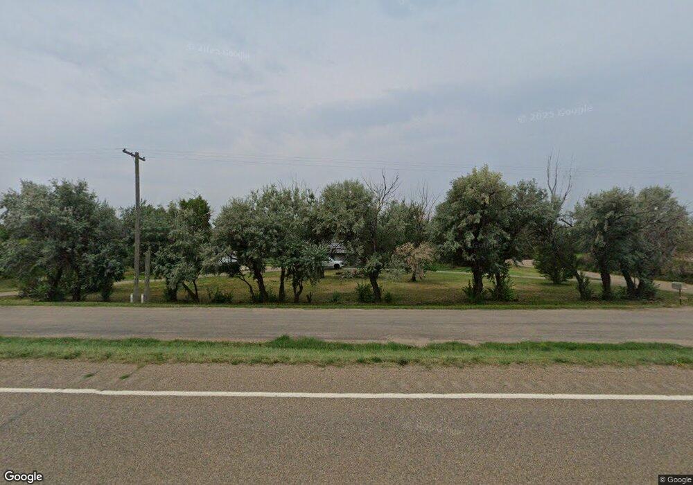
This home is located at 7770 1st St W, Havre, MT 59501 and is currently estimated at $315,883, approximately $150 per square foot. 7770 1st St W is a home located in Hill County with nearby schools including Highland Park Early Primary School, Lincoln-McKinley School, and Sunnyside School.
Ownership History
Date
Name
Owned For
Owner Type
Purchase Details
Closed on
May 1, 2015
Bought by
Tuttle Maresa
Current Estimated Value
Purchase Details
Closed on
Jul 27, 2012
Sold by
Crossler Gary L and Crossler Linda M
Bought by
Jones Donald L and Jones Tammy A
Home Financials for this Owner
Home Financials are based on the most recent Mortgage that was taken out on this home.
Original Mortgage
$124,000
Interest Rate
3.62%
Create a Home Valuation Report for This Property
The Home Valuation Report is an in-depth analysis detailing your home's value as well as a comparison with similar homes in the area
Home Values in the Area
Average Home Value in this Area
Purchase History
| Date | Buyer | Sale Price | Title Company |
|---|---|---|---|
| Tuttle Maresa | -- | -- | |
| Jones Donald L | -- | -- |
Source: Public Records
Mortgage History
| Date | Status | Borrower | Loan Amount |
|---|---|---|---|
| Previous Owner | Jones Donald L | $124,000 |
Source: Public Records
Tax History Compared to Growth
Tax History
| Year | Tax Paid | Tax Assessment Tax Assessment Total Assessment is a certain percentage of the fair market value that is determined by local assessors to be the total taxable value of land and additions on the property. | Land | Improvement |
|---|---|---|---|---|
| 2025 | $1,184 | $263,200 | $0 | $0 |
| 2024 | $1,545 | $173,300 | $0 | $0 |
| 2023 | $1,513 | $173,300 | $0 | $0 |
| 2022 | $1,554 | $177,400 | $0 | $0 |
| 2021 | $1,389 | $177,400 | $0 | $0 |
| 2020 | $1,404 | $161,000 | $0 | $0 |
| 2019 | $1,391 | $156,900 | $0 | $0 |
| 2018 | $1,261 | $138,300 | $0 | $0 |
| 2017 | $1,110 | $138,300 | $0 | $0 |
| 2016 | $1,303 | $145,200 | $0 | $0 |
| 2015 | $1,276 | $145,200 | $0 | $0 |
| 2014 | $678 | $44,994 | $0 | $0 |
Source: Public Records
Map
Nearby Homes
- 195 78th Ave W
- 190 78th Ave W
- 7720 1st St W
- 7830 1st St W
- 204 77th Ave W
- 7868 1st St W
- 7690 Us Highway 2 W
- 7745 Us Highway 2 NW
- 0 79th Ave W
- NHN 79th Ave W
- 140 79th Ave W
- 150 75th Ave W
- 220 79th Ave W
- 204 75th Ave W
- 8018 1st St W
- 7464 Us Highway 2 W
- 190 81st Ave W
- 8120 1st St W
- 90 73rd Ave W
- 8160 1st St W