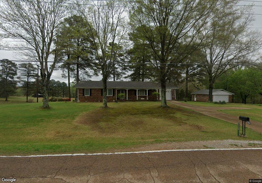
7770 Highway 69a Big Sandy, TN 38221
Estimated Value: $160,000 - $360,000
--
Bed
2
Baths
1,456
Sq Ft
$179/Sq Ft
Est. Value
About This Home
This home is located at 7770 Highway 69a, Big Sandy, TN 38221 and is currently estimated at $260,000, approximately $178 per square foot. 7770 Highway 69a is a home located in Benton County with nearby schools including Big Sandy School.
Ownership History
Date
Name
Owned For
Owner Type
Purchase Details
Closed on
Nov 20, 2023
Sold by
Industrial Development Board Of Benton C
Bought by
Jones Plastic And Engineering
Current Estimated Value
Purchase Details
Closed on
Mar 25, 2015
Sold by
Brewer David A
Bought by
Brewer David Anthony and Brewer Stephen Marty
Purchase Details
Closed on
Apr 26, 1965
Bought by
Brewer David A and Brewer Jean
Create a Home Valuation Report for This Property
The Home Valuation Report is an in-depth analysis detailing your home's value as well as a comparison with similar homes in the area
Home Values in the Area
Average Home Value in this Area
Purchase History
| Date | Buyer | Sale Price | Title Company |
|---|---|---|---|
| Jones Plastic And Engineering | -- | None Listed On Document | |
| Jones Plastic And Engineering | -- | None Listed On Document | |
| Brewer David Anthony | -- | -- | |
| Brewer David A | -- | -- |
Source: Public Records
Tax History Compared to Growth
Tax History
| Year | Tax Paid | Tax Assessment Tax Assessment Total Assessment is a certain percentage of the fair market value that is determined by local assessors to be the total taxable value of land and additions on the property. | Land | Improvement |
|---|---|---|---|---|
| 2024 | $689 | $25,250 | $5,875 | $19,375 |
| 2023 | $689 | $25,250 | $5,875 | $19,375 |
| 2022 | $689 | $25,250 | $5,875 | $19,375 |
| 2021 | $689 | $25,250 | $5,875 | $19,375 |
| 2020 | $689 | $25,250 | $5,875 | $19,375 |
| 2019 | $740 | $25,100 | $5,875 | $19,225 |
| 2018 | $740 | $25,100 | $5,875 | $19,225 |
| 2017 | $740 | $25,100 | $5,875 | $19,225 |
| 2016 | $740 | $25,100 | $5,875 | $19,225 |
| 2015 | $750 | $25,100 | $5,875 | $19,225 |
| 2014 | $715 | $25,100 | $5,875 | $19,225 |
| 2013 | $715 | $24,308 | $0 | $0 |
Source: Public Records
Map
Nearby Homes
- 1530 Prince Rd
- 175 Rolling Oak Dr
- 540 Rolling Oak Dr
- 3636 Reynoldsburg Rd
- 9825 Highway 69a
- 179 French Ln
- 674 Cantrell Rd
- 4820 Highway 641 N
- 0 Hwy 641 N Unit 134811
- 0 Hwy 641 N Unit RTC2699308
- 0 Hwy 641 N Unit 131394
- 0 Hwy 641 N Unit 124817
- 0 Mount Zion Rd
- 000 Williams Grove Rd
- 3855 Sulphur Creek Rd
- 1779 Mount Zion Rd
- 309 Asbury Rd
- 129 Tom White Rd
- 0 Asbury Rd
- 628 Tom White Rd
- 7735 Highway 69a
- 7840 Highway 69a
- 7840 Tennessee 69a
- 7875 Highway 69a
- 7925 Highway 69a
- 7988 Highway 69a
- 8090 Tennessee 69a
- 8160 Highway 69a
- 7390 Highway 69a
- 8217 Highway 69a
- 185 Loop Rd
- 1240 Prince Rd
- 296 Prince Rd
- 245 Loop Rd
- 8315 Highway 69a
- 7240 Highway 69a
- 311 Loop Rd
- 368 Loop Rd
- 7237 Highway 69a