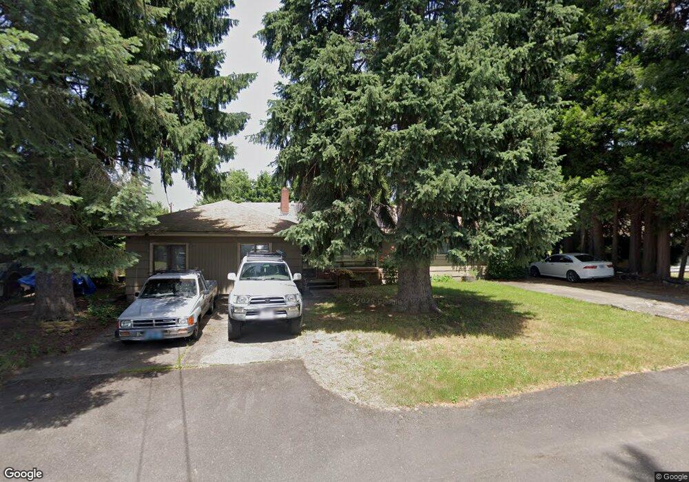
7777 SE Mcbride St Milwaukie, OR 97222
Southgate NeighborhoodEstimated Value: $461,000 - $516,000
3
Beds
2
Baths
1,832
Sq Ft
$273/Sq Ft
Est. Value
About This Home
This home is located at 7777 SE Mcbride St, Milwaukie, OR 97222 and is currently estimated at $499,819, approximately $272 per square foot. 7777 SE Mcbride St is a home located in Clackamas County with nearby schools including Linwood Elementary School, Rowe Middle School, and Milwaukie High School.
Ownership History
Date
Name
Owned For
Owner Type
Purchase Details
Closed on
Feb 21, 2015
Sold by
Eckhout Lori L
Bought by
Malchow Mason P
Current Estimated Value
Home Financials for this Owner
Home Financials are based on the most recent Mortgage that was taken out on this home.
Original Mortgage
$171,750
Outstanding Balance
$130,766
Interest Rate
3.6%
Mortgage Type
New Conventional
Estimated Equity
$369,053
Purchase Details
Closed on
Jan 12, 2012
Sold by
Borgen Jack P F and Borgen Gerald Charles
Bought by
Malchow Mason P and Eckhout Lori L
Home Financials for this Owner
Home Financials are based on the most recent Mortgage that was taken out on this home.
Original Mortgage
$165,690
Interest Rate
3.93%
Mortgage Type
FHA
Create a Home Valuation Report for This Property
The Home Valuation Report is an in-depth analysis detailing your home's value as well as a comparison with similar homes in the area
Home Values in the Area
Average Home Value in this Area
Purchase History
| Date | Buyer | Sale Price | Title Company |
|---|---|---|---|
| Malchow Mason P | -- | Stewart Title | |
| Malchow Mason P | $170,000 | Wfg Title | |
| Borgen Jack P F | -- | Wfg Title |
Source: Public Records
Mortgage History
| Date | Status | Borrower | Loan Amount |
|---|---|---|---|
| Open | Malchow Mason P | $171,750 | |
| Previous Owner | Borgen Jack P F | $165,690 |
Source: Public Records
Tax History Compared to Growth
Tax History
| Year | Tax Paid | Tax Assessment Tax Assessment Total Assessment is a certain percentage of the fair market value that is determined by local assessors to be the total taxable value of land and additions on the property. | Land | Improvement |
|---|---|---|---|---|
| 2024 | $4,665 | $249,133 | -- | -- |
| 2023 | $4,665 | $241,877 | $0 | $0 |
| 2022 | $4,287 | $234,833 | $0 | $0 |
| 2021 | $4,129 | $227,994 | $0 | $0 |
| 2020 | $3,996 | $221,354 | $0 | $0 |
| 2019 | $3,938 | $214,907 | $0 | $0 |
| 2018 | $3,442 | $208,648 | $0 | $0 |
| 2017 | $3,330 | $202,571 | $0 | $0 |
| 2016 | $3,209 | $196,671 | $0 | $0 |
| 2015 | $3,116 | $190,943 | $0 | $0 |
| 2014 | $2,946 | $185,382 | $0 | $0 |
Source: Public Records
Map
Nearby Homes
- 7912 SE Southgate St
- 7511 SE Harmony Rd
- 7778 SE Harmony Dr
- 11206 SE Adamson Ct
- 7631 SE Thompson Rd
- 11217 SE Causey Cir Unit 15E
- 11170 SE Causey Cir Unit 16E
- 6455 SE Aspen St
- 10732 SE 77th Ave
- 7307 SE Monroe St
- 10726 SE 75th Ave Unit 13
- 6731 SE Maplehurst Rd
- 10550 SE 70th Ave Unit 11
- 10550 SE 70th Ave Unit 18
- 12201 SE Linwood Ave
- 7455 SE King Rd Unit 11
- 7455 SE King Rd Unit 57
- 7455 SE King Rd Unit 53
- 12385 SE 60th Ct
- 8870 SE Spencer Dr
- 7805 SE Mcbride St
- 7757 SE Mcbride St
- 7711 SE Mcbride St
- 7825 SE Mcbride St
- 7798 SE Mcbride St
- 7744 SE Mcbride St
- 7856 SE Mcbride St
- 7722 SE Mcbride St
- 7827 SE Mcbride St
- 7904 SE Mcbride St
- 7707 SE Mcbride St
- 7670 SE Mcbride St
- 11780 SE Fuller Rd
- 7963 SE Mcbride St
- 7809 SE Southgate St
- 7807 SE Southgate St
- 7699 SE Mcbride St
- 7952 SE Mcbride St
- 7879 SE Southgate St
- 7777 SE Southgate St