778 45th St SW Montrose, MN 55363
Estimated Value: $430,000 - $550,000
3
Beds
3
Baths
1,520
Sq Ft
$326/Sq Ft
Est. Value
About This Home
This home is located at 778 45th St SW, Montrose, MN 55363 and is currently estimated at $495,764, approximately $326 per square foot. 778 45th St SW is a home located in Wright County with nearby schools including Montrose Elementary School, Buffalo Community Middle School, and Buffalo Senior High School.
Ownership History
Date
Name
Owned For
Owner Type
Purchase Details
Closed on
May 5, 2015
Sold by
Erickson Lee Lee
Bought by
Phillips Dean Dean
Current Estimated Value
Home Financials for this Owner
Home Financials are based on the most recent Mortgage that was taken out on this home.
Original Mortgage
$294,900
Outstanding Balance
$227,180
Interest Rate
3.68%
Estimated Equity
$268,584
Create a Home Valuation Report for This Property
The Home Valuation Report is an in-depth analysis detailing your home's value as well as a comparison with similar homes in the area
Home Values in the Area
Average Home Value in this Area
Purchase History
| Date | Buyer | Sale Price | Title Company |
|---|---|---|---|
| Phillips Dean Dean | $294,900 | -- |
Source: Public Records
Mortgage History
| Date | Status | Borrower | Loan Amount |
|---|---|---|---|
| Open | Phillips Dean Dean | $294,900 |
Source: Public Records
Tax History Compared to Growth
Tax History
| Year | Tax Paid | Tax Assessment Tax Assessment Total Assessment is a certain percentage of the fair market value that is determined by local assessors to be the total taxable value of land and additions on the property. | Land | Improvement |
|---|---|---|---|---|
| 2025 | $3,890 | $421,400 | $92,000 | $329,400 |
| 2024 | $3,816 | $416,000 | $102,000 | $314,000 |
| 2023 | $3,792 | $413,700 | $102,000 | $311,700 |
| 2022 | $3,666 | $373,000 | $102,000 | $271,000 |
| 2021 | $3,764 | $319,400 | $84,800 | $234,600 |
| 2020 | $3,872 | $315,000 | $84,800 | $230,200 |
| 2019 | $3,536 | $325,600 | $0 | $0 |
| 2018 | $2,862 | $329,100 | $0 | $0 |
| 2017 | $2,752 | $271,700 | $0 | $0 |
| 2016 | $2,658 | $0 | $0 | $0 |
| 2015 | $2,428 | $0 | $0 | $0 |
| 2014 | -- | $0 | $0 | $0 |
Source: Public Records
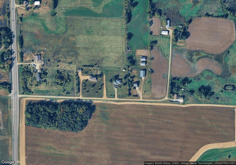
Map
Nearby Homes
- 1112 Natalie Ave
- 703 7th St N
- 935 Aspen Ln
- 726 7th St N
- 610 Emerson Ave N
- 643 Fieldcrest Ave N
- 645 Fieldcrest Ave N
- Cameron Plan at Northridge
- Granite Plan at Northridge
- Harris Plan at Northridge
- 692 Aspen Ln
- 699 Aspen Ln
- 690 Aspen Ln
- 697 Aspen Ln
- 695 Aspen Ln
- 693 Aspen Ln
- 691 Aspen Ln
- 684 Aspen Ln
- 689 Aspen Ln
- 687 Aspen Ln
- 1116 Natalie Ave
- 1114 Natalie Ave
- 1103 Natalie Ave
- 1101 Natalie Ave
- 1113 Natalie Ave
- 1105 Natalie Ave
- 1107 Natalie Ave
- 1110 Natalie Ave
- 1115 Natalie Ave
- 1111 Natalie Ave
- 864 45th St SW
- 662 45th St SW
- 4432 County Road 12 S
- 670 45th St SW
- 730 45th St SW
- 4282 County Road 12 S
- 4409 County Road 12 S
- xxx4 County Road 12
- 4064 County Road 12 S
- 4206 County Road 12 S