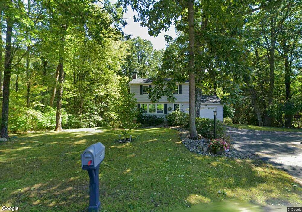
778 Burts Pit Rd Florence, MA 01062
Florence NeighborhoodEstimated Value: $409,483 - $461,000
3
Beds
2
Baths
1,372
Sq Ft
$319/Sq Ft
Est. Value
About This Home
This home is located at 778 Burts Pit Rd, Florence, MA 01062 and is currently estimated at $437,371, approximately $318 per square foot. 778 Burts Pit Rd is a home located in Hampshire County with nearby schools including Northampton High School, Hilltown Cooperative Charter Public School, and Campus School of Smith College.
Ownership History
Date
Name
Owned For
Owner Type
Purchase Details
Closed on
Jul 20, 1988
Sold by
Kroner Simon J
Bought by
Laflamme John
Current Estimated Value
Create a Home Valuation Report for This Property
The Home Valuation Report is an in-depth analysis detailing your home's value as well as a comparison with similar homes in the area
Home Values in the Area
Average Home Value in this Area
Purchase History
| Date | Buyer | Sale Price | Title Company |
|---|---|---|---|
| Laflamme John | $143,000 | -- |
Source: Public Records
Mortgage History
| Date | Status | Borrower | Loan Amount |
|---|---|---|---|
| Open | Laflamme John | $60,000 | |
| Closed | Laflamme John | $30,000 | |
| Closed | Laflamme John | $30,000 | |
| Closed | Laflamme John | $30,000 |
Source: Public Records
Tax History
| Year | Tax Paid | Tax Assessment Tax Assessment Total Assessment is a certain percentage of the fair market value that is determined by local assessors to be the total taxable value of land and additions on the property. | Land | Improvement |
|---|---|---|---|---|
| 2025 | $4,692 | $336,800 | $129,600 | $207,200 |
| 2024 | $4,852 | $319,400 | $129,600 | $189,800 |
| 2023 | $4,274 | $269,800 | $117,500 | $152,300 |
| 2022 | $4,449 | $248,700 | $117,500 | $131,200 |
| 2021 | $4,202 | $241,900 | $112,500 | $129,400 |
| 2020 | $4,064 | $241,900 | $112,500 | $129,400 |
| 2019 | $3,827 | $220,300 | $97,500 | $122,800 |
| 2018 | $3,793 | $222,600 | $97,500 | $125,100 |
| 2017 | $3,715 | $222,600 | $97,500 | $125,100 |
| 2016 | $3,597 | $222,600 | $97,500 | $125,100 |
| 2015 | $3,547 | $224,500 | $97,500 | $127,000 |
| 2014 | $3,455 | $224,500 | $97,500 | $127,000 |
Source: Public Records
Map
Nearby Homes
- 815 Burts Pit Rd
- 635 Florence Rd
- 697 Florence Rd
- 296 Ryan Rd Unit A
- 296 Ryan Rd
- 296 Ryan Rd Unit B
- 723 Lot B Ryan Rd
- 42 Clark St
- 967 Florence Rd
- 296 Old Wilson Rd
- 37 Landy Ave
- 67 Park St Unit A
- 76 Maple St
- 63 Riverside Dr
- 832 Westhampton Rd
- 23 Ford Crossing
- 892 Westhampton Rd
- 0 W Farms Rd
- 98 Park Hill Rd
- 44 Sheffield Ln
- 788 Burts Pit Rd
- 768 Burts Pit Rd
- 798 Burts Pit Rd
- 775 Burts Pit Rd Unit 775B
- 775 Burts Pit Rd Unit 75B
- 775 Burts Pit Rd Unit 775A
- 803 Burts Pit Rd Unit A
- 803 Burts Pit Rd Unit B
- 803 Burts Pit Rd
- 771 Burts Pit Rd
- 797 Burts Pit Rd Unit 797B
- 797 Burts Pit Rd Unit 797B
- 797 Burts Pit Rd Unit 797A
- 793 Burts Pit Rd Unit 793B
- 793 Burts Pit Rd Unit 793B
- 793 Burts Pit Rd Unit 793A
- 808 Burts Pit Rd
- 829 Burts Pit Rd
- 824 Burts Pit Rd
- 841 Burts Pit Rd
Your Personal Tour Guide
Ask me questions while you tour the home.