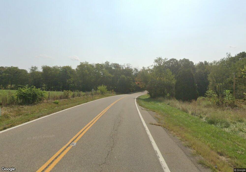
778 State Route 151 Mingo Junction, OH 43938
Estimated Value: $74,000 - $255,000
3
Beds
1
Bath
1,040
Sq Ft
$158/Sq Ft
Est. Value
About This Home
This home is located at 778 State Route 151, Mingo Junction, OH 43938 and is currently estimated at $164,500, approximately $158 per square foot. 778 State Route 151 is a home located in Jefferson County with nearby schools including Buckeye Local High School.
Ownership History
Date
Name
Owned For
Owner Type
Purchase Details
Closed on
Jul 25, 2019
Sold by
Smith Roger K and Tate Smith Lurleen B
Bought by
Lockwood Chip A and Lockwood Brittney
Current Estimated Value
Home Financials for this Owner
Home Financials are based on the most recent Mortgage that was taken out on this home.
Original Mortgage
$151,407
Outstanding Balance
$132,317
Interest Rate
3.7%
Mortgage Type
FHA
Estimated Equity
$32,183
Purchase Details
Closed on
Jan 12, 2011
Sold by
Bartlett Presley Robert and Bartlett Nita Lee
Bought by
Vanzin William J and Vanzin Janet E
Home Financials for this Owner
Home Financials are based on the most recent Mortgage that was taken out on this home.
Original Mortgage
$104,000
Interest Rate
4.14%
Create a Home Valuation Report for This Property
The Home Valuation Report is an in-depth analysis detailing your home's value as well as a comparison with similar homes in the area
Home Values in the Area
Average Home Value in this Area
Purchase History
| Date | Buyer | Sale Price | Title Company |
|---|---|---|---|
| Lockwood Chip A | $154,200 | None Available | |
| Vanzin William J | -- | -- |
Source: Public Records
Mortgage History
| Date | Status | Borrower | Loan Amount |
|---|---|---|---|
| Open | Lockwood Chip A | $151,407 | |
| Previous Owner | Vanzin William J | $104,000 |
Source: Public Records
Tax History Compared to Growth
Tax History
| Year | Tax Paid | Tax Assessment Tax Assessment Total Assessment is a certain percentage of the fair market value that is determined by local assessors to be the total taxable value of land and additions on the property. | Land | Improvement |
|---|---|---|---|---|
| 2024 | $466 | $13,059 | $9,030 | $4,029 |
| 2023 | $466 | $8,299 | $5,110 | $3,189 |
| 2022 | $306 | $8,299 | $5,110 | $3,189 |
| 2021 | $306 | $8,299 | $5,110 | $3,189 |
| 2020 | $319 | $8,299 | $5,110 | $3,189 |
| 2019 | $321 | $0 | $0 | $0 |
| 2018 | $316 | $0 | $0 | $0 |
| 2017 | $327 | $0 | $0 | $0 |
| 2016 | $340 | $0 | $0 | $0 |
| 2015 | $300 | $0 | $0 | $0 |
| 2014 | $293 | $0 | $0 | $0 |
| 2012 | $508 | $29,890 | $3,780 | $26,110 |
Source: Public Records
Map
Nearby Homes
- 491 State Route 151
- 194 State Route 151
- 126 Ohio St
- 2221 Commercial Ave
- 113 Township Road 167
- 2241 Main St
- 87R 26th St
- 1238 County Road 19
- 2328 Commerce St
- 0 Rabbit Hill Rd
- 100 17th St
- 1615 Charles St
- 235 Union Ave
- 206 Benita Dr
- 1711 Pleasant Ave
- 1501 Main St
- 42 15th St
- 306 W Benita Dr
- 124 Peeler St
- 218 West Blvd
- 721 State Route 151
- 734 State Route 151
- 850 State Route 151
- 744 State Route 151
- 753 State Route 151
- 765 State Route 151
- 725 New Alexandria Rd
- 785 State Route 151
- 201 Township Road 501
- 538 State Route 151
- 363 State Route 151
- 112 Leo St
- 356 Smithfield St
- 350 State Route 151
- 835 State Route 151
- 346 State Route 151
- 24 Moodys Dr
- 454 State Route 151
- 889 State Route 151
- 432 Ohio 151
