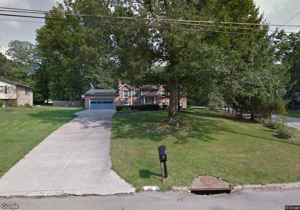
7781 E Parkside Dr Youngstown, OH 44512
Estimated Value: $268,203 - $289,000
3
Beds
2
Baths
2,176
Sq Ft
$128/Sq Ft
Est. Value
About This Home
This home is located at 7781 E Parkside Dr, Youngstown, OH 44512 and is currently estimated at $277,801, approximately $127 per square foot. 7781 E Parkside Dr is a home located in Mahoning County with nearby schools including Stadium Drive Elementary School, Boardman Center Middle School, and Boardman High School.
Ownership History
Date
Name
Owned For
Owner Type
Purchase Details
Closed on
Aug 30, 2004
Sold by
Runcan Earl E and Runcan Lynn M
Bought by
Alexander Darryl G
Current Estimated Value
Home Financials for this Owner
Home Financials are based on the most recent Mortgage that was taken out on this home.
Original Mortgage
$80,700
Outstanding Balance
$20,337
Interest Rate
6.17%
Mortgage Type
Purchase Money Mortgage
Estimated Equity
$257,464
Purchase Details
Closed on
Oct 31, 1988
Bought by
Runcan Earl E and Runcan Lynn M
Create a Home Valuation Report for This Property
The Home Valuation Report is an in-depth analysis detailing your home's value as well as a comparison with similar homes in the area
Home Values in the Area
Average Home Value in this Area
Purchase History
| Date | Buyer | Sale Price | Title Company |
|---|---|---|---|
| Alexander Darryl G | $142,500 | -- | |
| Runcan Earl E | $90,000 | -- |
Source: Public Records
Mortgage History
| Date | Status | Borrower | Loan Amount |
|---|---|---|---|
| Open | Alexander Darryl G | $80,700 |
Source: Public Records
Tax History
| Year | Tax Paid | Tax Assessment Tax Assessment Total Assessment is a certain percentage of the fair market value that is determined by local assessors to be the total taxable value of land and additions on the property. | Land | Improvement |
|---|---|---|---|---|
| 2025 | $3,212 | $64,970 | $10,000 | $54,970 |
| 2024 | $3,287 | $64,970 | $10,000 | $54,970 |
| 2023 | $3,243 | $64,970 | $10,000 | $54,970 |
| 2022 | $3,356 | $51,480 | $10,000 | $41,480 |
| 2021 | $3,358 | $51,480 | $10,000 | $41,480 |
| 2020 | $3,375 | $51,480 | $10,000 | $41,480 |
| 2019 | $3,440 | $47,030 | $10,000 | $37,030 |
| 2018 | $2,979 | $47,030 | $10,000 | $37,030 |
| 2017 | $2,976 | $47,030 | $10,000 | $37,030 |
| 2016 | $2,685 | $42,010 | $10,000 | $32,010 |
| 2015 | $2,632 | $42,010 | $10,000 | $32,010 |
| 2014 | $2,639 | $42,010 | $10,000 | $32,010 |
| 2013 | $2,605 | $42,010 | $10,000 | $32,010 |
Source: Public Records
Map
Nearby Homes
- 7619 Red Fox Dr
- 7603 Red Fox Dr
- 547 Squirrel Hill Dr
- 2319 Hunters Ridge
- 8068 Deerpath Dr
- 179 Southwoods Ave
- 674 Angiline Dr
- 8161 Glenwood Ave
- 1173 Red Tail Hawk Ct Unit 5
- 1327 Fox Run Dr
- 1133 Red Tail Hawk Ct Unit 6
- 7367 Oregon Trail
- 1327 Huntington Ct
- 123 Mayflower Dr
- 156 Roche Way
- 8460 Crystal Dr
- 454 Garver Dr
- 139 Roche Way
- 6624 Ronjoy Place
- 6879 Kyle Ridge Pointe
- 7788 Silver Fox Dr
- 7773 E Parkside Dr
- 7780 Silver Fox Dr
- 7772 E Parkside Dr
- 7761 E Parkside Dr
- 7788 E Parkside Dr
- 7789 E Parkside Dr
- 7791 Silver Fox Dr
- 7762 E Parkside Dr
- 892 Squirrel Hill Dr
- 7787 Silver Fox Dr
- 898 Squirrel Hill Dr
- 7749 E Parkside Dr
- 7797 E Parkside Dr
- 7794 E Parkside Dr
- 7779 Silver Fox Dr
- 880 Squirrel Hill Dr
- 7750 E Parkside Dr
- 7795 E Parkside Dr
- 7737 E Parkside Dr
Your Personal Tour Guide
Ask me questions while you tour the home.