7782 Tackabury Rd Canastota, NY 13032
Estimated Value: $206,471 - $318,000
3
Beds
2
Baths
1,418
Sq Ft
$196/Sq Ft
Est. Value
About This Home
This home is located at 7782 Tackabury Rd, Canastota, NY 13032 and is currently estimated at $277,368, approximately $195 per square foot. 7782 Tackabury Rd is a home located in Madison County with nearby schools including Peterboro Street Elementary School, Roberts Street Middle School, and South Side Elementary School.
Ownership History
Date
Name
Owned For
Owner Type
Purchase Details
Closed on
Oct 18, 2017
Sold by
Denmeade Candie S and Snyder Randall D
Bought by
Denmeade Candie S
Current Estimated Value
Home Financials for this Owner
Home Financials are based on the most recent Mortgage that was taken out on this home.
Original Mortgage
$100,000
Outstanding Balance
$50,738
Interest Rate
3.78%
Mortgage Type
Purchase Money Mortgage
Estimated Equity
$226,630
Create a Home Valuation Report for This Property
The Home Valuation Report is an in-depth analysis detailing your home's value as well as a comparison with similar homes in the area
Home Values in the Area
Average Home Value in this Area
Purchase History
| Date | Buyer | Sale Price | Title Company |
|---|---|---|---|
| Denmeade Candie S | -- | -- |
Source: Public Records
Mortgage History
| Date | Status | Borrower | Loan Amount |
|---|---|---|---|
| Open | Denmeade Candie S | $100,000 |
Source: Public Records
Tax History
| Year | Tax Paid | Tax Assessment Tax Assessment Total Assessment is a certain percentage of the fair market value that is determined by local assessors to be the total taxable value of land and additions on the property. | Land | Improvement |
|---|---|---|---|---|
| 2024 | $4,491 | $112,000 | $35,200 | $76,800 |
| 2023 | $4,457 | $112,000 | $35,200 | $76,800 |
| 2022 | $4,264 | $112,000 | $35,200 | $76,800 |
| 2021 | $4,258 | $112,000 | $35,200 | $76,800 |
| 2020 | $3,461 | $112,000 | $35,200 | $76,800 |
| 2019 | $3,241 | $112,000 | $35,200 | $76,800 |
| 2018 | $3,241 | $112,000 | $35,200 | $76,800 |
| 2017 | $3,190 | $112,000 | $35,200 | $76,800 |
| 2016 | $5,349 | $112,000 | $35,200 | $76,800 |
| 2015 | -- | $112,000 | $35,200 | $76,800 |
| 2014 | -- | $112,000 | $35,200 | $76,800 |
Source: Public Records
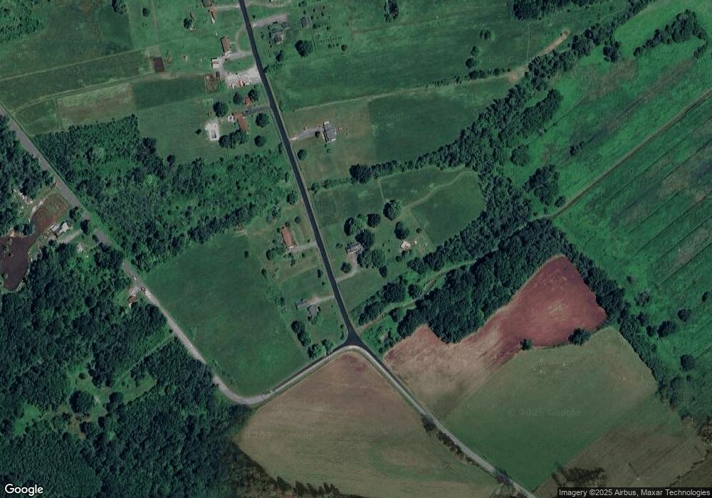
Map
Nearby Homes
- 0 Edward Ohara Ave Unit S1418644
- 0 Edward Ohara Ave Unit S1418656
- 125 Getmac Ave
- 7988 Warners Rd
- 2970 Whitelaw Rd W
- 107 Park St
- 4 Maple Ave
- 322 N Main St
- 0 Briggs Bay Rd Unit S1594832
- 0 Route 13 Unit S1355477
- 302 N Main St
- 107 Ball Ave
- 109 Macarthur Place
- 343 N Peterboro St
- 337 N Peterboro St
- 121 Chapel St
- 117 W Chapel St
- 110 Spencer St
- 144 Canal (N) St
- 116 Mill St
- 7795 Tackabury Rd
- 7781 Tackabury Rd
- 7820 Tackabury Rd
- 7825 Tackabury Rd
- 7844 Tackabury Rd
- 3024 Tag Rd
- 7835 Tackabury Rd
- 7850 Tackabury Rd
- 3008 Tag Rd
- 7853 Tackabury Rd
- 3004 Tag Rd
- 0 Tackabury Rd Unit S1098374
- 0 Tackabury Rd Unit S1063527
- 0 Tackabury Rd Unit S1556448
- 0 Tackabury Rd Unit S339788
- 0 Tackabury Rd Unit S358120
- 0 Tackabury Rd Unit S1311832
- 0 Tackabury Rd Unit 1501939
- 3032 Tag Rd
- Lot 24 Tackabury Rd
Your Personal Tour Guide
Ask me questions while you tour the home.