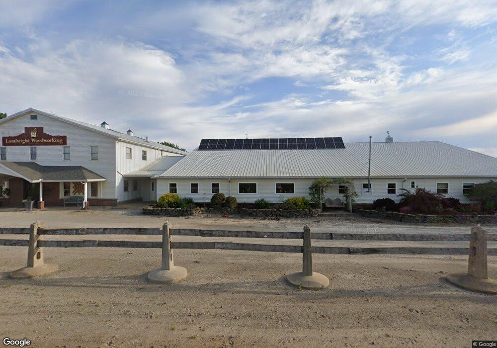
7785 W 300 S Topeka, IN 46571
Estimated Value: $416,000 - $733,000
5
Beds
2
Baths
3,424
Sq Ft
$178/Sq Ft
Est. Value
About This Home
This home is located at 7785 W 300 S, Topeka, IN 46571 and is currently estimated at $608,719, approximately $177 per square foot. 7785 W 300 S is a home located in LaGrange County with nearby schools including Shipshewana-Scott Elementary School, Westview Elementary School, and Westview Junior/Senior High School.
Ownership History
Date
Name
Owned For
Owner Type
Purchase Details
Closed on
Jan 21, 2025
Sold by
Lambright Kenneth L and Wilson Blake A
Bought by
K & B Real Estate Investments Llc
Current Estimated Value
Purchase Details
Closed on
Feb 23, 2024
Sold by
Lambright Earl D and Lambright John R
Bought by
Lambright Kenneth L and Wilson Blake A
Home Financials for this Owner
Home Financials are based on the most recent Mortgage that was taken out on this home.
Original Mortgage
$600,000
Interest Rate
7.6%
Create a Home Valuation Report for This Property
The Home Valuation Report is an in-depth analysis detailing your home's value as well as a comparison with similar homes in the area
Home Values in the Area
Average Home Value in this Area
Purchase History
| Date | Buyer | Sale Price | Title Company |
|---|---|---|---|
| K & B Real Estate Investments Llc | -- | None Listed On Document | |
| Lambright Kenneth L | -- | None Listed On Document |
Source: Public Records
Mortgage History
| Date | Status | Borrower | Loan Amount |
|---|---|---|---|
| Previous Owner | Lambright Kenneth L | $600,000 | |
| Previous Owner | Lambright Kenneth L | $1,043,850 |
Source: Public Records
Tax History Compared to Growth
Tax History
| Year | Tax Paid | Tax Assessment Tax Assessment Total Assessment is a certain percentage of the fair market value that is determined by local assessors to be the total taxable value of land and additions on the property. | Land | Improvement |
|---|---|---|---|---|
| 2024 | $5,120 | $627,800 | $122,600 | $505,200 |
| 2023 | $5,345 | $647,000 | $116,700 | $530,300 |
| 2022 | $5,217 | $628,500 | $88,400 | $540,100 |
| 2021 | $5,085 | $576,600 | $83,200 | $493,400 |
| 2020 | $5,050 | $557,700 | $79,600 | $478,100 |
| 2019 | $5,253 | $571,400 | $81,700 | $489,700 |
| 2018 | $5,179 | $558,100 | $82,000 | $476,100 |
| 2017 | $5,540 | $593,600 | $91,800 | $501,800 |
| 2016 | $5,704 | $600,900 | $91,800 | $509,100 |
| 2014 | $6,793 | $645,400 | $86,400 | $559,000 |
| 2013 | $6,793 | $590,000 | $86,400 | $503,600 |
Source: Public Records
Map
Nearby Homes