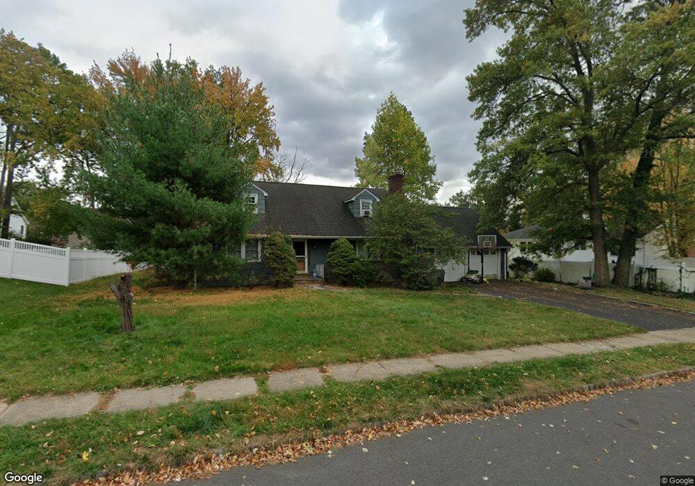
779 Austin St Westfield, NJ 07090
Estimated Value: $966,000 - $1,332,000
--
Bed
--
Bath
2,352
Sq Ft
$477/Sq Ft
Est. Value
About This Home
This home is located at 779 Austin St, Westfield, NJ 07090 and is currently estimated at $1,121,309, approximately $476 per square foot. 779 Austin St is a home located in Union County with nearby schools including McKinley Elementary School, Westfield Senior High School, and Holy Trinity School.
Ownership History
Date
Name
Owned For
Owner Type
Purchase Details
Closed on
Dec 5, 2016
Sold by
Broughton Dennis P and Broughton Lin
Bought by
Broughton Lin
Current Estimated Value
Purchase Details
Closed on
May 14, 2004
Sold by
Villane William
Bought by
Broughton Dennis and Broughton Lin
Home Financials for this Owner
Home Financials are based on the most recent Mortgage that was taken out on this home.
Original Mortgage
$479,200
Interest Rate
5.75%
Purchase Details
Closed on
Mar 27, 2000
Sold by
Villane William J and Villane Rita
Bought by
Villane William J and Villane Rita
Create a Home Valuation Report for This Property
The Home Valuation Report is an in-depth analysis detailing your home's value as well as a comparison with similar homes in the area
Home Values in the Area
Average Home Value in this Area
Purchase History
| Date | Buyer | Sale Price | Title Company |
|---|---|---|---|
| Broughton Lin | -- | -- | |
| Broughton Dennis | $599,000 | -- | |
| Villane William J | -- | -- |
Source: Public Records
Mortgage History
| Date | Status | Borrower | Loan Amount |
|---|---|---|---|
| Previous Owner | Broughton Dennis | $479,200 |
Source: Public Records
Tax History Compared to Growth
Tax History
| Year | Tax Paid | Tax Assessment Tax Assessment Total Assessment is a certain percentage of the fair market value that is determined by local assessors to be the total taxable value of land and additions on the property. | Land | Improvement |
|---|---|---|---|---|
| 2025 | $15,559 | $690,900 | $556,000 | $134,900 |
| 2024 | $15,241 | $690,900 | $556,000 | $134,900 |
| 2023 | $15,241 | $690,900 | $556,000 | $134,900 |
| 2022 | $14,923 | $690,900 | $556,000 | $134,900 |
| 2021 | $16,004 | $739,900 | $556,000 | $183,900 |
| 2020 | $15,967 | $739,900 | $556,000 | $183,900 |
| 2019 | $15,908 | $739,900 | $556,000 | $183,900 |
| 2018 | $14,382 | $154,700 | $72,700 | $82,000 |
| 2017 | $14,304 | $154,700 | $72,700 | $82,000 |
| 2016 | $13,968 | $154,700 | $72,700 | $82,000 |
| 2015 | $15,902 | $179,700 | $72,700 | $107,000 |
| 2014 | $15,377 | $179,700 | $72,700 | $107,000 |
Source: Public Records
Map
Nearby Homes
- 119 Lamberts Mill Rd
- 314 Highgate Ave
- 2154 W Broad St
- 1466 Lamberts Mill Rd
- 525 Edgar Rd
- 524 Edgar Rd
- 2 Brookside Ct
- 614 Dorian Rd
- 2116 Newark Ave
- 1933 W Broad St
- 724 South Ave W Unit 724A
- 1933 Mary Ellen Ln
- 538 Westfield Ave
- 350 W Dudley Ave
- 2 Dutch Ln
- 2212 Shady Ln
- 676 Vermont St
- 2314 Longfellow Ave
- 522 Boulevard
- 57 Rambling Dr
- 789 Austin St
- 769 Austin St
- 778 Clarence St
- 776 Clarence St
- 241 Lamberts Mill Rd
- 765 Austin St
- 780 Austin St
- 776 Austin St
- 766 Clarence St
- 145 Lamberts Mill Rd
- 761 Austin St
- 764 Austin St
- 139 Lamberts Mill Rd
- 760 Clarence St
- 757 Austin St
- 1392 Lamberts Mill Rd
- 760 Austin St
- 777 Clarence St
- 1400 Lamberts Mill Rd
- 771 Clarence St