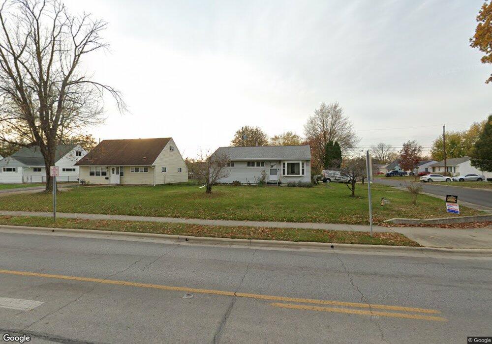
779 Demorest Rd Columbus, OH 43204
Holly Hill NeighborhoodEstimated Value: $172,312 - $198,000
3
Beds
1
Bath
925
Sq Ft
$203/Sq Ft
Est. Value
About This Home
This home is located at 779 Demorest Rd, Columbus, OH 43204 and is currently estimated at $187,328, approximately $202 per square foot. 779 Demorest Rd is a home located in Franklin County with nearby schools including West Franklin Elementary School, Franklin Woods Intermediate School, and Finland Middle School.
Ownership History
Date
Name
Owned For
Owner Type
Purchase Details
Closed on
May 20, 1986
Bought by
Mckenzie Chester W
Current Estimated Value
Create a Home Valuation Report for This Property
The Home Valuation Report is an in-depth analysis detailing your home's value as well as a comparison with similar homes in the area
Home Values in the Area
Average Home Value in this Area
Purchase History
| Date | Buyer | Sale Price | Title Company |
|---|---|---|---|
| Mckenzie Chester W | $46,000 | -- |
Source: Public Records
Tax History
| Year | Tax Paid | Tax Assessment Tax Assessment Total Assessment is a certain percentage of the fair market value that is determined by local assessors to be the total taxable value of land and additions on the property. | Land | Improvement |
|---|---|---|---|---|
| 2025 | $2,827 | $55,440 | $14,560 | $40,880 |
| 2024 | $2,827 | $55,440 | $14,560 | $40,880 |
| 2023 | $2,812 | $55,440 | $14,560 | $40,880 |
| 2022 | $2,377 | $32,210 | $7,950 | $24,260 |
| 2021 | $2,258 | $32,210 | $7,950 | $24,260 |
| 2020 | $2,254 | $32,210 | $7,950 | $24,260 |
| 2019 | $2,079 | $26,640 | $6,620 | $20,020 |
| 2018 | $1,916 | $26,640 | $6,620 | $20,020 |
| 2017 | $2,059 | $26,640 | $6,620 | $20,020 |
| 2016 | $1,898 | $23,030 | $4,410 | $18,620 |
| 2015 | $1,762 | $23,030 | $4,410 | $18,620 |
| 2014 | $1,763 | $23,030 | $4,410 | $18,620 |
| 2013 | $1,019 | $27,090 | $5,180 | $21,910 |
Source: Public Records
Map
Nearby Homes
- 695 Demorest Rd
- 814 Miriam Dr W
- 840 Mark Place
- 3551 Glorious Rd
- 3340 Miriam Dr S
- 3318 Miriam Dr S
- 6280 Renner Park Dr
- 3721 Briggs Rd Unit 723
- 408 Derrer Rd
- 3860 Briggs Rd
- 3859 Briggs Rd
- 793 Binns Blvd
- 894 Binns Blvd
- 3866 Eakin Rd
- 982 Melwood Dr
- 3664-3670 Mccarley Dr S
- 868 Harwood Dr
- 3029 Rosedale Ave
- 328 S Sylvan Ave
- 638 Binns Blvd
- 787 Demorest Rd
- 772 Derrer Rd
- 797 Demorest Rd
- 782 Derrer Rd Unit 784
- 761 Demorest Rd
- 3458 Vanderberg Ave
- 3466 Vanderberg Ave
- 790 Derrer Rd
- 790 Derrer Rd Unit 790-792
- 790 Derrer Rd Unit 92
- 784 Derrer Rd
- 780 Demorest Rd
- 772 Demorest Rd
- 788 Demorest Rd
- 811 Demorest Rd
- 798 Derrer Rd Unit 800
- 766 Demorest Rd
- 3482 Vanderberg Ave
- 741 Demorest Rd
- 3453 Eakin Rd
Your Personal Tour Guide
Ask me questions while you tour the home.