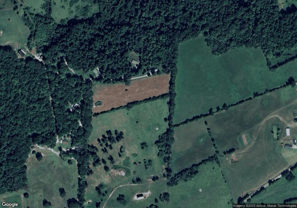
779 Hubbs Grove Rd Maynardville, TN 37807
Estimated Value: $235,000 - $711,000
--
Bed
1
Bath
1,426
Sq Ft
$303/Sq Ft
Est. Value
About This Home
This home is located at 779 Hubbs Grove Rd, Maynardville, TN 37807 and is currently estimated at $432,029, approximately $302 per square foot. 779 Hubbs Grove Rd is a home located in Union County with nearby schools including Maynardville Elementary School, H Maynard Middle School, and Union County High School.
Ownership History
Date
Name
Owned For
Owner Type
Purchase Details
Closed on
Sep 19, 2019
Sold by
Mcphetridge Charles and Mcphetridge Virginia
Bought by
Lay Dustin M and Lay Cynthia D
Current Estimated Value
Purchase Details
Closed on
Feb 21, 1992
Bought by
Mcphetridge Mcphetridge M and Mcphetridge Charl
Purchase Details
Closed on
Jul 24, 1991
Bought by
Rush Ann M
Purchase Details
Closed on
May 18, 1985
Bought by
Rush Ann M
Purchase Details
Closed on
Aug 14, 1984
Create a Home Valuation Report for This Property
The Home Valuation Report is an in-depth analysis detailing your home's value as well as a comparison with similar homes in the area
Home Values in the Area
Average Home Value in this Area
Purchase History
| Date | Buyer | Sale Price | Title Company |
|---|---|---|---|
| Lay Dustin M | -- | Warranty Title Insurance Co | |
| Lay Dustin M | -- | Warranty Title Insurance Co | |
| Mcphetridge Mcphetridge M | -- | -- | |
| Mcphetridge Mcphetridge M | -- | -- | |
| Rush Ann M | -- | -- | |
| Rush Ann M | -- | -- | |
| Rush Ann M | -- | -- | |
| Rush Ann M | -- | -- | |
| -- | -- | -- | |
| -- | -- | -- |
Source: Public Records
Tax History Compared to Growth
Tax History
| Year | Tax Paid | Tax Assessment Tax Assessment Total Assessment is a certain percentage of the fair market value that is determined by local assessors to be the total taxable value of land and additions on the property. | Land | Improvement |
|---|---|---|---|---|
| 2024 | $463 | $24,375 | $13,175 | $11,200 |
| 2023 | $463 | $24,375 | $13,175 | $11,200 |
| 2022 | $388 | $24,375 | $13,175 | $11,200 |
| 2021 | $399 | $18,650 | $11,925 | $6,725 |
| 2020 | $399 | $18,650 | $11,925 | $6,725 |
| 2019 | $551 | $18,650 | $11,925 | $6,725 |
| 2018 | $551 | $25,750 | $13,375 | $12,375 |
| 2017 | $551 | $25,750 | $13,375 | $12,375 |
| 2016 | $536 | $24,700 | $14,475 | $10,225 |
| 2015 | $531 | $24,700 | $14,475 | $10,225 |
| 2014 | $438 | $24,444 | $0 | $0 |
Source: Public Records
Map
Nearby Homes
- 1386 Walker Ford Rd
- 203 Baker Cir
- 1641 Walker Ford Rd
- 150 Grand View Dr
- 122 Dayflower Way
- 249 Texas Hollow Rd
- 1140 Tater Valley Rd
- 399 High Ridge Ct
- 319 Tater Valley Rd
- 131 Lynn Dr
- 144 Keith Dr
- 259 Little Tater Valley Rd
- 291 Twin Ln
- 6 Lynn Dr
- 310 Jessee Rd
- 215 Tennessee 61
- 553 Hickory Pointe Ln
- 302 Luttrell Rd
- 154 Swan Seymour Rd
- 122 Fox Hunter Rd
- 715 Hubbs Grove Rd
- 179 Rosewood Ln
- 155 Rosewood Ln
- 235 Wood Ridge Dr
- 693 Hubbs Grove Rd
- 191 Wood Ridge Dr
- 1189 Walker Ford Rd
- 689 Hubbs Grove Rd
- 238 Rosewood Ln
- 1022 Walker Ford Rd
- 103 Nave Hill Rd
- 1204 Walker Ford Rd
- 1309 Walker Ford Rd
- 1301 Walker Ford Rd
- 667 Hubbs Grove Rd
- 185 Three Falls Rd
- 953 Walker Ford Rd
- 163 Nave Hill Rd
- 244 Rosewood Ln
- 655 Hubbs Grove Rd
