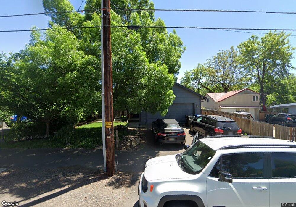
779 S Shasta Ave Eagle Point, OR 97524
Estimated Value: $326,000 - $355,000
3
Beds
2
Baths
1,290
Sq Ft
$265/Sq Ft
Est. Value
About This Home
This home is located at 779 S Shasta Ave, Eagle Point, OR 97524 and is currently estimated at $341,812, approximately $264 per square foot. 779 S Shasta Ave is a home with nearby schools including Eagle Point Middle School, White Mountain Middle School, and Eagle Point High School.
Ownership History
Date
Name
Owned For
Owner Type
Purchase Details
Closed on
Jun 28, 2011
Sold by
Bunn Daniel E and Bunn Candida R
Bought by
Ram Sea Rogue Llc
Current Estimated Value
Purchase Details
Closed on
Dec 4, 2009
Sold by
The Faltersack Loving Trust
Bought by
Bunn Daniel E and Bunn Candida
Purchase Details
Closed on
Oct 9, 2007
Sold by
Wright Derek M
Bought by
Bunn Dan E and Bunn Candida
Purchase Details
Closed on
Apr 11, 2006
Sold by
Bunn Daniel E
Bought by
Bunn Dan E and Bunn Candida
Create a Home Valuation Report for This Property
The Home Valuation Report is an in-depth analysis detailing your home's value as well as a comparison with similar homes in the area
Home Values in the Area
Average Home Value in this Area
Purchase History
| Date | Buyer | Sale Price | Title Company |
|---|---|---|---|
| Ram Sea Rogue Llc | -- | None Available | |
| Bunn Daniel E | $25,000 | None Available | |
| Bunn Dan E | -- | None Available | |
| Bunn Dan E | -- | First American Title |
Source: Public Records
Tax History Compared to Growth
Tax History
| Year | Tax Paid | Tax Assessment Tax Assessment Total Assessment is a certain percentage of the fair market value that is determined by local assessors to be the total taxable value of land and additions on the property. | Land | Improvement |
|---|---|---|---|---|
| 2025 | $2,282 | $166,750 | $90,410 | $76,340 |
| 2024 | $2,282 | $161,900 | $87,780 | $74,120 |
| 2023 | $2,204 | $157,190 | $85,220 | $71,970 |
| 2022 | $2,144 | $157,190 | $85,220 | $71,970 |
| 2021 | $2,081 | $152,620 | $82,740 | $69,880 |
| 2020 | $2,211 | $148,180 | $80,330 | $67,850 |
| 2019 | $2,177 | $139,680 | $75,710 | $63,970 |
| 2018 | $2,136 | $135,620 | $73,500 | $62,120 |
| 2017 | $2,083 | $135,620 | $73,500 | $62,120 |
| 2016 | $2,043 | $127,840 | $69,290 | $58,550 |
| 2015 | $1,976 | $127,840 | $69,290 | $58,550 |
| 2014 | $1,919 | $120,510 | $65,330 | $55,180 |
Source: Public Records
Map
Nearby Homes
- 804 S Shasta Ave
- 0 Sf Little Butte Unit 220204792
- 429 Arrowhead Trail
- 470 Old Highway 62 Unit 2
- 118 Pebble Creek Dr
- 416 S Royal Ave
- 650 Sarah Ln
- 1065 S Shasta Ave
- 522 Meadow Ln
- 10569 Hannon Rd
- 323 S Shasta Ave
- 247 Lorraine Ave
- 315 S Buchanan Ave
- 828 St Andrews Way
- 888 Arrowhead Trail
- 221 Ortega St
- 131 Bellerive Dr
- 135 Princeville Dr
- 91 Morning Dove Trail
- 225 Morning Dove Trail
- 787 S Shasta Ave
- 771 S Shasta Ave
- 791 S Shasta Ave
- 765 S Shasta Ave
- 746 S Shasta Ave
- 780 S Shasta Ave
- 772 S Shasta Ave
- 790 S Shasta Ave
- 757 S Shasta Ave
- 758 S Shasta Ave
- 801 S Shasta Ave
- 800 S Shasta Ave
- 213 Glenwood Dr
- 740 S Shasta Ave
- 804 S Shasta Ave Unit 804\806
- 825 S Royal Ave
- 209 Glenwood Dr
- 808 S Shasta Ave
- 16 Christa Ln
- 809 S Royal Ave