77940 Airport Rd Port Wing, WI 54865
Estimated Value: $308,000 - $461,000
--
Bed
--
Bath
--
Sq Ft
40
Acres
About This Home
This home is located at 77940 Airport Rd, Port Wing, WI 54865 and is currently estimated at $374,127. 77940 Airport Rd is a home with nearby schools including South Shore Elementary School and South Shore Junior/Senior High School.
Ownership History
Date
Name
Owned For
Owner Type
Purchase Details
Closed on
Jul 16, 2024
Sold by
Cross Robert L
Bought by
Carleton and Carleton Mary J.
Current Estimated Value
Purchase Details
Closed on
Feb 29, 2024
Sold by
Johnson Kerry F
Bought by
Cross Robert L
Create a Home Valuation Report for This Property
The Home Valuation Report is an in-depth analysis detailing your home's value as well as a comparison with similar homes in the area
Home Values in the Area
Average Home Value in this Area
Purchase History
| Date | Buyer | Sale Price | Title Company |
|---|---|---|---|
| Carleton | $366,000 | Gowey Abstract & Title Company | |
| Cross Robert L | $350,000 | Molly Schneider |
Source: Public Records
Tax History Compared to Growth
Tax History
| Year | Tax Paid | Tax Assessment Tax Assessment Total Assessment is a certain percentage of the fair market value that is determined by local assessors to be the total taxable value of land and additions on the property. | Land | Improvement |
|---|---|---|---|---|
| 2024 | $3,020 | $206,700 | $52,900 | $153,800 |
| 2023 | $2,471 | $206,700 | $52,900 | $153,800 |
| 2022 | $1,766 | $107,300 | $39,300 | $68,000 |
| 2021 | $1,782 | $107,300 | $39,300 | $68,000 |
| 2020 | $1,662 | $107,300 | $39,300 | $68,000 |
| 2019 | $1,641 | $107,300 | $39,300 | $68,000 |
| 2018 | $1,647 | $107,300 | $39,300 | $68,000 |
| 2017 | $1,593 | $107,600 | $39,300 | $68,300 |
| 2016 | $1,879 | $107,600 | $39,300 | $68,300 |
| 2015 | $1,736 | $115,500 | $48,900 | $66,600 |
| 2013 | $903 | $56,400 | $48,900 | $7,500 |
Source: Public Records
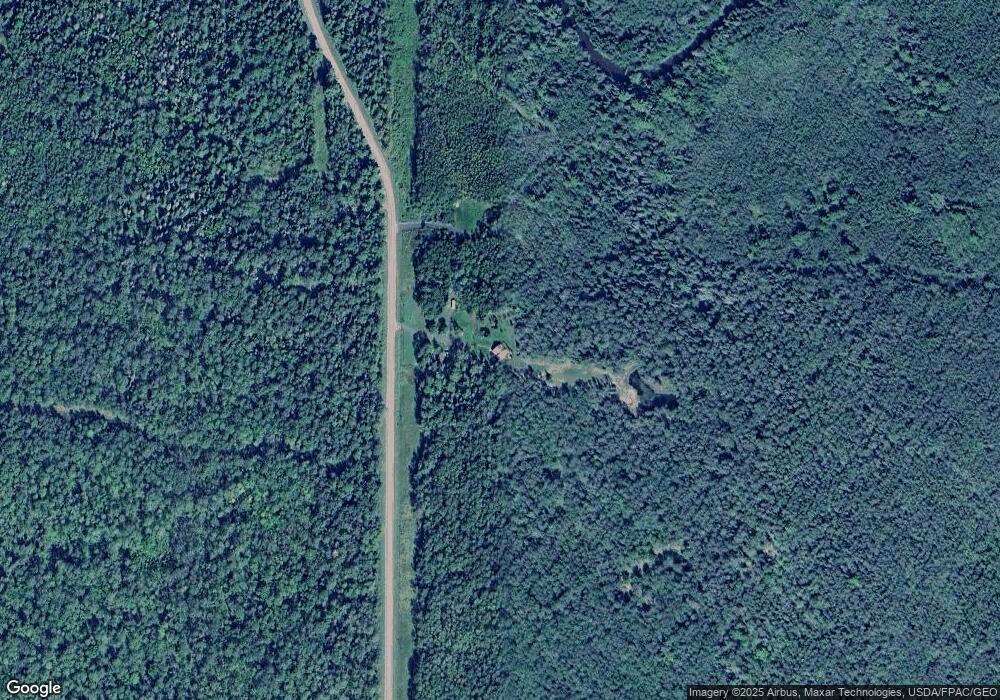
Map
Nearby Homes
- TBD Lois Ln
- 772XX Lois Ln
- 79170 Severson Rd
- 5295 Goetsch Rd
- 74845 Airport Rd
- xxx Hautala Rd
- 6.03 Acres E Orienta Falls Rd
- 54XX Old Hwy 13
- 79900 Tar Paper Alley
- 79900 Tarpaper Alley
- 80 Acres Near Tar Paper Alley
- TBD Boulevard Rd
- 74035 County Highway A
- 1170 County Highway B
- 70455 Hoover Line Rd
- 67 Acres On County Highway A
- 8353 Mannik Rd
- 80 Acres on County Line Rd
- 828XX White Birch Rd
- 11 Acres on State Highway 13
- 77320 Airport Rd
- On Airport Rd
- 76800 Airport Rd
- 81XXX Airport Rd
- 77965 Airport Rd
- 6305 Froney Rd
- 78515 Airport Rd
- 0 Froney Rd
- - Froney Rd
- 78195 Evergreen Rd
- 6010 Sorenson Rd
- 6010 Sorenson
- xxxx Froney Rd
- 5650 Sorenson Rd
- 78005 Evergreen Rd
- 6510 Sorenson Rd
- 77320 Airport Rd
- 6165 Sorenson Rd
- 6265 Sorenson Rd
- 78160 Evergreen Rd