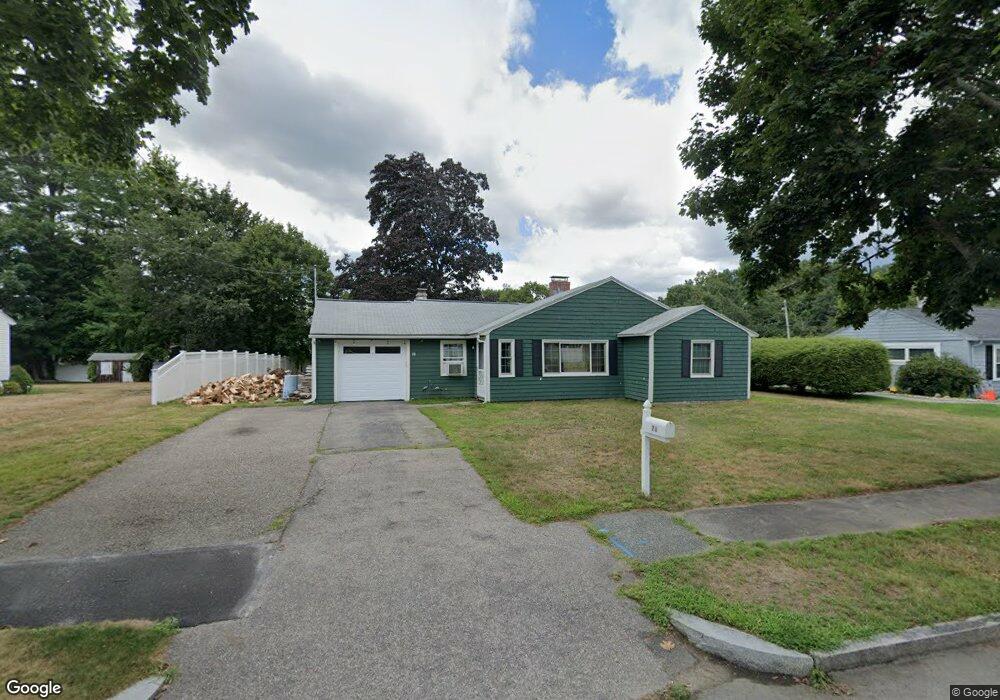
78 Banbury Ave Waltham, MA 02451
North Waltham NeighborhoodEstimated Value: $743,000 - $825,437
3
Beds
1
Bath
1,350
Sq Ft
$578/Sq Ft
Est. Value
About This Home
This home is located at 78 Banbury Ave, Waltham, MA 02451 and is currently estimated at $780,359, approximately $578 per square foot. 78 Banbury Ave is a home located in Middlesex County with nearby schools including Douglas Macarthur Elementary School, John F Kennedy Middle School, and Waltham Sr High School.
Ownership History
Date
Name
Owned For
Owner Type
Purchase Details
Closed on
Sep 17, 2003
Sold by
Noyes Michael D
Bought by
Noyes Jeanne M
Current Estimated Value
Purchase Details
Closed on
May 24, 1994
Sold by
Viscogliosi John F Est
Bought by
Noyes Michael D
Home Financials for this Owner
Home Financials are based on the most recent Mortgage that was taken out on this home.
Original Mortgage
$120,000
Interest Rate
8.44%
Mortgage Type
Purchase Money Mortgage
Create a Home Valuation Report for This Property
The Home Valuation Report is an in-depth analysis detailing your home's value as well as a comparison with similar homes in the area
Home Values in the Area
Average Home Value in this Area
Purchase History
| Date | Buyer | Sale Price | Title Company |
|---|---|---|---|
| Noyes Jeanne M | -- | -- | |
| Noyes Michael D | $150,000 | -- |
Source: Public Records
Mortgage History
| Date | Status | Borrower | Loan Amount |
|---|---|---|---|
| Open | Noyes Michael D | $30,000 | |
| Open | Noyes Michael D | $260,000 | |
| Previous Owner | Noyes Michael D | $120,000 |
Source: Public Records
Tax History Compared to Growth
Tax History
| Year | Tax Paid | Tax Assessment Tax Assessment Total Assessment is a certain percentage of the fair market value that is determined by local assessors to be the total taxable value of land and additions on the property. | Land | Improvement |
|---|---|---|---|---|
| 2025 | $6,272 | $638,700 | $452,100 | $186,600 |
| 2024 | $5,944 | $616,600 | $432,100 | $184,500 |
| 2023 | $5,862 | $568,000 | $392,100 | $175,900 |
| 2022 | $5,806 | $521,200 | $352,100 | $169,100 |
| 2021 | $5,782 | $510,800 | $352,100 | $158,700 |
| 2020 | $5,665 | $474,100 | $328,100 | $146,000 |
| 2019 | $9,467 | $450,600 | $324,100 | $126,500 |
| 2018 | $5,195 | $412,000 | $300,100 | $111,900 |
| 2017 | $4,823 | $384,000 | $272,100 | $111,900 |
| 2016 | $4,504 | $368,000 | $256,100 | $111,900 |
| 2015 | $4,315 | $328,600 | $224,100 | $104,500 |
Source: Public Records
Map
Nearby Homes
- 14 Benjamin Rd
- 15 Kings Way Unit 25
- 1105 Lexington St Unit 102
- 98 Seminole Ave
- 249 Lake St
- 234 Lake St
- 30 Wampum Ave
- 5 April Ln Unit 12
- 30 Jacqueline Rd Unit C
- 129 Lake St
- 463 Lincoln St
- 311 Concord Ave
- 28 Goldencrest Ave
- 102 Milner St
- 92 Milner St
- 28 Hillcrest St
- 14 Piedmont Ave
- 65 Montclair Ave
- 11 Autumn Ln
- 87 Clocktower Dr Unit 2207