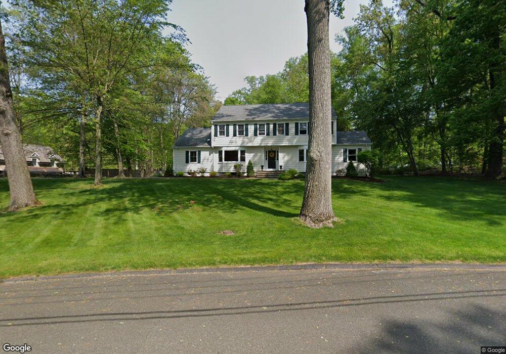
78 Bartling Dr Easton, CT 06612
Estimated Value: $1,011,000 - $1,173,000
5
Beds
3
Baths
3,270
Sq Ft
$331/Sq Ft
Est. Value
About This Home
This home is located at 78 Bartling Dr, Easton, CT 06612 and is currently estimated at $1,083,831, approximately $331 per square foot. 78 Bartling Dr is a home located in Fairfield County with nearby schools including Samuel Staples Elementary School, Helen Keller Middle School, and Joel Barlow High School.
Ownership History
Date
Name
Owned For
Owner Type
Purchase Details
Closed on
Jan 31, 2011
Sold by
Schmerzler Daniel and Ballan Laura
Bought by
Rahner Erik and Rahner Kathleen
Current Estimated Value
Home Financials for this Owner
Home Financials are based on the most recent Mortgage that was taken out on this home.
Original Mortgage
$580,000
Interest Rate
3.75%
Purchase Details
Closed on
May 1, 2007
Sold by
Koning Kathleen
Bought by
Schmerzlen Daniel and Ballan Laura
Purchase Details
Closed on
Jun 2, 2000
Sold by
Etkind Hyman G and Etkind Elaine R
Bought by
Koning Kathleen and Koning Hans
Create a Home Valuation Report for This Property
The Home Valuation Report is an in-depth analysis detailing your home's value as well as a comparison with similar homes in the area
Home Values in the Area
Average Home Value in this Area
Purchase History
| Date | Buyer | Sale Price | Title Company |
|---|---|---|---|
| Rahner Erik | $662,500 | -- | |
| Rahner Erik | $662,500 | -- | |
| Schmerzlen Daniel | $752,500 | -- | |
| Schmerzlen Daniel | $752,500 | -- | |
| Koning Kathleen | $435,000 | -- | |
| Koning Kathleen | $435,000 | -- |
Source: Public Records
Mortgage History
| Date | Status | Borrower | Loan Amount |
|---|---|---|---|
| Open | Koning Kathleen | $517,000 | |
| Closed | Koning Kathleen | $580,000 |
Source: Public Records
Tax History Compared to Growth
Tax History
| Year | Tax Paid | Tax Assessment Tax Assessment Total Assessment is a certain percentage of the fair market value that is determined by local assessors to be the total taxable value of land and additions on the property. | Land | Improvement |
|---|---|---|---|---|
| 2025 | $14,209 | $458,360 | $192,570 | $265,790 |
| 2024 | $13,540 | $458,360 | $192,570 | $265,790 |
| 2023 | $13,274 | $458,360 | $192,570 | $265,790 |
| 2022 | $13,036 | $458,360 | $192,570 | $265,790 |
| 2021 | $13,093 | $404,740 | $189,150 | $215,590 |
| 2020 | $12,547 | $404,740 | $189,150 | $215,590 |
| 2019 | $12,681 | $404,740 | $189,150 | $215,590 |
| 2018 | $12,701 | $404,740 | $189,150 | $215,590 |
| 2017 | $13,510 | $404,740 | $189,150 | $215,590 |
| 2016 | $12,496 | $405,570 | $192,620 | $212,950 |
| 2015 | $12,321 | $405,570 | $192,620 | $212,950 |
| 2014 | $11,879 | $397,280 | $192,620 | $204,660 |
Source: Public Records
Map
Nearby Homes
- 93 Tersana Dr
- 38 Chester Rd
- 35 Sturbridge Rd
- 26 Wendy Rd
- 68 High Ridge Rd
- 42 Wendy Rd
- 16 Manor Ln
- 32 Adirondack Trail
- 76 Hilary Cir Unit 76
- 39 Sunset Rd
- 48 Sunset Rd
- 305 Sport Hill Rd
- 83 Buck Hill Rd
- lot 194 Prospect Ave
- 63 Flat Rock Dr
- 178 Autumn Ridge Rd
- 44 Lance Cir Unit 44
- 81 Lance Cir
- 4293 Madison Ave
- 153 Seaver Cir