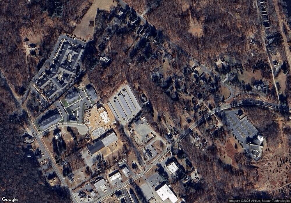
78 Bridge Rd Haddam, CT 06438
Estimated Value: $433,000 - $474,000
3
Beds
3
Baths
2,234
Sq Ft
$205/Sq Ft
Est. Value
About This Home
This home is located at 78 Bridge Rd, Haddam, CT 06438 and is currently estimated at $458,097, approximately $205 per square foot. 78 Bridge Rd is a home located in Middlesex County with nearby schools including Haddam-Killingworth High School.
Ownership History
Date
Name
Owned For
Owner Type
Purchase Details
Closed on
Mar 23, 2010
Sold by
Novak Marguerite S
Bought by
Kucharski David and Kucharski Irene
Current Estimated Value
Purchase Details
Closed on
May 31, 2001
Sold by
Alger Howard J
Bought by
Lesniewski Doris M
Home Financials for this Owner
Home Financials are based on the most recent Mortgage that was taken out on this home.
Original Mortgage
$125,000
Interest Rate
7.09%
Mortgage Type
Purchase Money Mortgage
Create a Home Valuation Report for This Property
The Home Valuation Report is an in-depth analysis detailing your home's value as well as a comparison with similar homes in the area
Home Values in the Area
Average Home Value in this Area
Purchase History
| Date | Buyer | Sale Price | Title Company |
|---|---|---|---|
| Kucharski David | -- | -- | |
| Lesniewski Doris M | $74,000 | -- | |
| Kucharski David | $148,000 | -- |
Source: Public Records
Mortgage History
| Date | Status | Borrower | Loan Amount |
|---|---|---|---|
| Previous Owner | Kucharski David | $115,000 | |
| Previous Owner | Kucharski David | $125,000 |
Source: Public Records
Tax History Compared to Growth
Tax History
| Year | Tax Paid | Tax Assessment Tax Assessment Total Assessment is a certain percentage of the fair market value that is determined by local assessors to be the total taxable value of land and additions on the property. | Land | Improvement |
|---|---|---|---|---|
| 2025 | $6,837 | $199,050 | $51,070 | $147,980 |
| 2024 | $6,837 | $199,050 | $51,070 | $147,980 |
| 2023 | $6,742 | $199,050 | $51,070 | $147,980 |
| 2022 | $6,435 | $199,050 | $51,070 | $147,980 |
| 2021 | $6,401 | $199,050 | $51,070 | $147,980 |
| 2020 | $6,787 | $214,160 | $55,570 | $158,590 |
| 2019 | $6,787 | $214,160 | $55,570 | $158,590 |
| 2018 | $6,787 | $214,160 | $55,570 | $158,590 |
| 2017 | $6,787 | $214,160 | $55,570 | $158,590 |
| 2016 | $6,682 | $214,160 | $55,570 | $158,590 |
| 2015 | $7,055 | $226,130 | $55,570 | $170,560 |
| 2014 | $6,985 | $226,130 | $55,570 | $170,560 |
Source: Public Records
Map
Nearby Homes
- 1572 Saybrook Rd
- 23 Main St
- 2 Norwich Rd
- 40 & 42 Old Cart Rd
- 77 Main St
- 428 Plains Rd
- 2 Morgan Ln
- 288 Middlesex Ave
- 00 Mount Parnassus Rd
- 10 Orchard Rd
- 16 Mount Parnassus Rd
- 80 Orchard Rd
- 72 Dickinson Rd
- 60 Goose Hill Rd
- 55 Bogel Rd
- 11 Kings Hwy
- 47 Ferry Rd
- 36 Kings Hwy
- 12 Deep Hollow Rd
- 0 Saybrook Rd
- 149 Camp Bethel Rd
- 17 Bridge Ln
- 80 Bridge Rd
- 137 Camp Bethel Rd
- 16 Bridge Ln
- 143 Camp Bethel Rd
- 117 Camp Bethel Rd
- 72 Bridge Rd
- 76 Bridge Rd
- 80 Connecticut 82
- 64 Bridge Rd
- 151 Camp Bethel Rd
- 133 Camp Bethel Rd
- 81 Connecticut 82
- 72 Connecticut 82
- 155 Camp Bethel Rd
- 6 Bridge Ln
- 129 Camp Bethel Rd
- 125 Camp Bethel Rd
- 18 Bethel Ln
