78 Brookside Ln Danbury, NH 03230
Estimated Value: $330,000 - $408,000
3
Beds
2
Baths
1,728
Sq Ft
$220/Sq Ft
Est. Value
About This Home
This home is located at 78 Brookside Ln, Danbury, NH 03230 and is currently estimated at $380,724, approximately $220 per square foot. 78 Brookside Ln is a home located in Merrimack County with nearby schools including Danbury Elementary School.
Ownership History
Date
Name
Owned For
Owner Type
Purchase Details
Closed on
Sep 30, 2015
Sold by
Benoit Christine and Benoit Ronald R
Bought by
Benoit Christine and Benoit Ronald R
Current Estimated Value
Home Financials for this Owner
Home Financials are based on the most recent Mortgage that was taken out on this home.
Original Mortgage
$84,100
Outstanding Balance
$66,326
Interest Rate
3.95%
Mortgage Type
Purchase Money Mortgage
Estimated Equity
$314,398
Purchase Details
Closed on
Jan 31, 2005
Sold by
Ashton Martin R and Ashton Crystal L
Bought by
Benoit Ronald R
Home Financials for this Owner
Home Financials are based on the most recent Mortgage that was taken out on this home.
Original Mortgage
$99,100
Interest Rate
5.67%
Purchase Details
Closed on
Aug 7, 2002
Sold by
Bertolami and Nomi Danbury Nomi
Bought by
Ashton Martin R and Ashton Crystal L
Home Financials for this Owner
Home Financials are based on the most recent Mortgage that was taken out on this home.
Original Mortgage
$113,223
Interest Rate
6.58%
Create a Home Valuation Report for This Property
The Home Valuation Report is an in-depth analysis detailing your home's value as well as a comparison with similar homes in the area
Home Values in the Area
Average Home Value in this Area
Purchase History
| Date | Buyer | Sale Price | Title Company |
|---|---|---|---|
| Benoit Christine | -- | -- | |
| Benoit Ronald R | $129,100 | -- | |
| Benoit Ronald R | $129,100 | -- | |
| Ashton Martin R | $115,000 | -- |
Source: Public Records
Mortgage History
| Date | Status | Borrower | Loan Amount |
|---|---|---|---|
| Open | Benoit Christine | $84,100 | |
| Previous Owner | Benoit Ronald R | $99,100 | |
| Previous Owner | Ashton Martin R | $113,223 |
Source: Public Records
Tax History Compared to Growth
Tax History
| Year | Tax Paid | Tax Assessment Tax Assessment Total Assessment is a certain percentage of the fair market value that is determined by local assessors to be the total taxable value of land and additions on the property. | Land | Improvement |
|---|---|---|---|---|
| 2024 | $4,979 | $226,320 | $68,400 | $157,920 |
| 2023 | $4,526 | $226,320 | $68,400 | $157,920 |
| 2022 | $3,961 | $226,320 | $68,400 | $157,920 |
| 2021 | $4,074 | $226,320 | $68,400 | $157,920 |
| 2020 | $3,070 | $127,920 | $25,300 | $102,620 |
| 2019 | $3,070 | $127,920 | $25,300 | $102,620 |
| 2018 | $2,747 | $116,900 | $25,300 | $91,600 |
| 2016 | $2,689 | $116,900 | $25,300 | $91,600 |
| 2015 | $2,741 | $119,160 | $25,267 | $93,893 |
| 2010 | $2,949 | $157,270 | $56,060 | $101,210 |
Source: Public Records
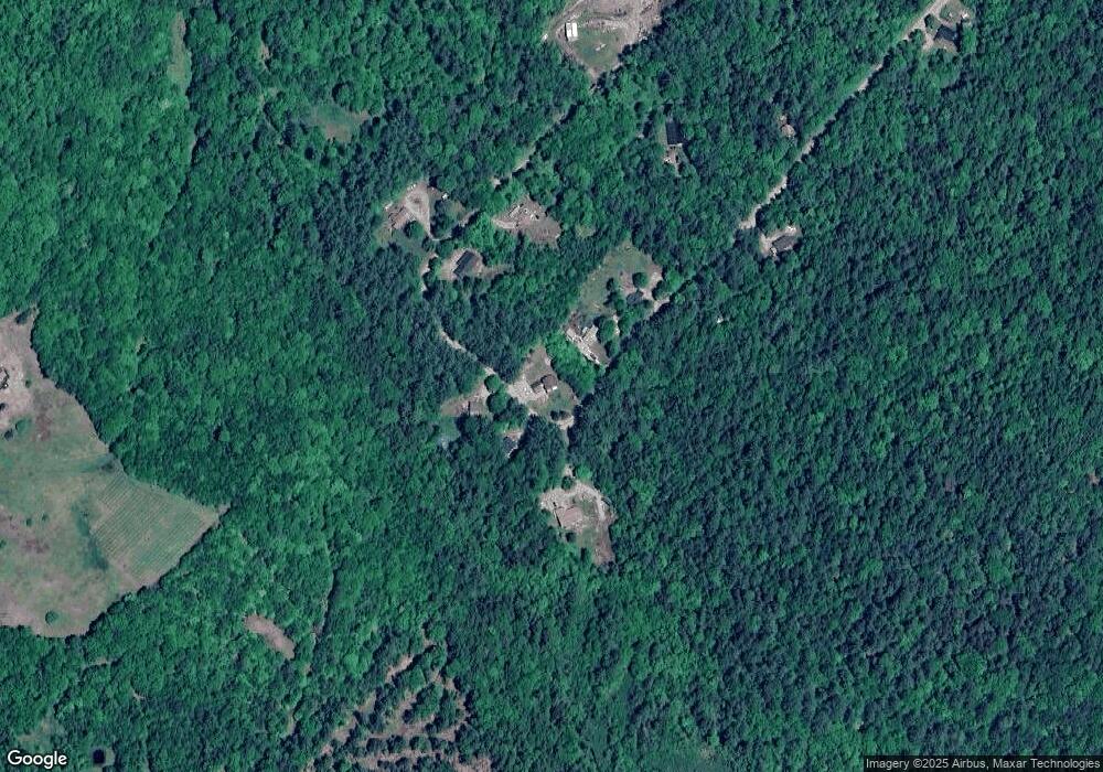
Map
Nearby Homes
- 66 Brookside Ln
- 0 Spruce Ln
- 524 North Rd
- lot 7 Eastern District Rd
- Lot91 Eastern District Rd
- 410-089-001 Eastern District Rd
- 410-090-009 Eastern District Rd
- 410-090-008 Eastern District Rd
- 410-090-005 Eastern District Rd
- 309 Waukeena Lake Rd
- Map 406 Lot 169 U S 4
- 20 Elmwood Trailer Park Rd
- 337 New Hampshire 104
- 11 Turnpike Rd
- 86 Wild Meadow Rd
- 66 Phelps Ln
- 00 Ragged Mountain Rd
- 414 Turnpike Rd
- 1695 Washburn Rd
- 136 Newfound Hills Rd
- 77 Brookside Ln
- 73 Brookside Ln
- 75 Brookside Ln
- 98 Brookside Ln
- 43 Brookside Ln
- 97 Brookside Ln
- 107 Brookside Ln
- 49 Brookside Ln
- 46 Brookside Ln
- 0 Brookside Ln Unit 29
- 99/100 Brookside Ln Unit 66 & 74
- 34 Brookside Ln
- 00 Brookside Ln
- 15 Brookside Ln
- 77 Oak Ridge Dr
- 11 Partridge Ln
- 70 Aspen Ln
- 105 Aspen Ln
- 00 Hemlock Ln
- 0 Aspen Ln Unit 4981832