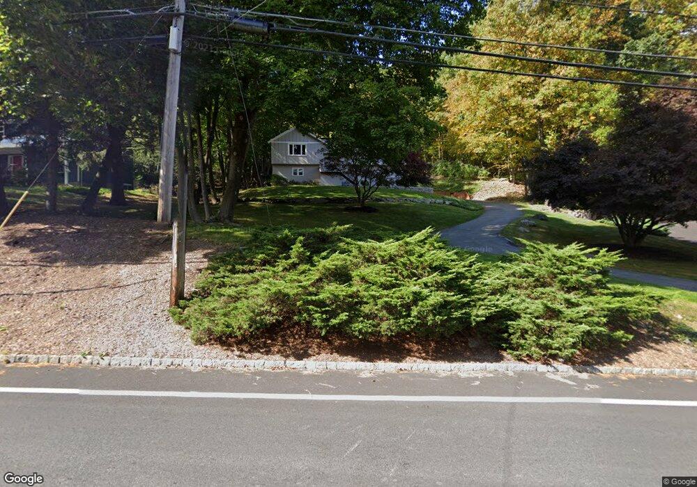
78 Brookside Rd Randolph, NJ 07869
Estimated Value: $648,000 - $709,845
Studio
--
Bath
2,044
Sq Ft
$334/Sq Ft
Est. Value
About This Home
This home is located at 78 Brookside Rd, Randolph, NJ 07869 and is currently estimated at $681,711, approximately $333 per square foot. 78 Brookside Rd is a home located in Morris County with nearby schools including Randolph High School, Randolph Middle School, and Apple Montessori Schools and Camps - Randolph.
Ownership History
Date
Name
Owned For
Owner Type
Purchase Details
Closed on
May 4, 2011
Sold by
Lagrone Daniel J
Bought by
Mackie Jason P and Mackie Laura A
Current Estimated Value
Home Financials for this Owner
Home Financials are based on the most recent Mortgage that was taken out on this home.
Original Mortgage
$294,400
Outstanding Balance
$204,594
Interest Rate
4.88%
Mortgage Type
New Conventional
Estimated Equity
$477,117
Purchase Details
Closed on
Jul 26, 2010
Sold by
Lagrone Daniel J
Bought by
Lagrone Daniel J
Purchase Details
Closed on
Sep 22, 1993
Sold by
Coglas Kenneth
Bought by
Sharkey Brian and Connon Lisa
Home Financials for this Owner
Home Financials are based on the most recent Mortgage that was taken out on this home.
Original Mortgage
$130,000
Interest Rate
7%
Create a Home Valuation Report for This Property
The Home Valuation Report is an in-depth analysis detailing your home's value as well as a comparison with similar homes in the area
Home Values in the Area
Average Home Value in this Area
Purchase History
| Date | Buyer | Sale Price | Title Company |
|---|---|---|---|
| Mackie Jason P | $368,000 | New Jersey Title Ins Co | |
| Lagrone Daniel J | -- | None Available | |
| Sharkey Brian | $210,000 | -- |
Source: Public Records
Mortgage History
| Date | Status | Borrower | Loan Amount |
|---|---|---|---|
| Open | Mackie Jason P | $294,400 | |
| Previous Owner | Sharkey Brian | $130,000 |
Source: Public Records
Tax History
| Year | Tax Paid | Tax Assessment Tax Assessment Total Assessment is a certain percentage of the fair market value that is determined by local assessors to be the total taxable value of land and additions on the property. | Land | Improvement |
|---|---|---|---|---|
| 2025 | $10,531 | $372,000 | $154,400 | $217,600 |
| 2024 | $10,267 | $372,000 | $154,400 | $217,600 |
Source: Public Records
Map
Nearby Homes
- 56 Woodland Rd
- 5 Albert Ct
- 8 Franklin Dr
- 33 Albert Ct
- 47 Woodland Rd
- 4 Ascot Ln
- 39 Woodland Rd
- 3 Woodmont Dr
- 46 W Hanover Ave
- 20 Mount Pleasant Rd
- 20 Mount Pleasant Rd
- 267 Washington Valley Rd
- 26 Woodland Rd
- 3 Old Orchard Terrace
- 5 Elaine Ct
- 8 Cherry Ln
- 15 Southview Rd
- 4A Southview Rd
- 138 Shady Ln
- 226 Morris Turnpike
- 80 Brookside Rd
- 76 Brookside Rd
- 82 Brookside Rd
- 77 Brookside Rd
- 69 Brookside Rd
- 67 Brookside Rd
- 74 Brookside Rd
- 79 Brookside Rd
- 75 Brookside Rd
- 65 Brookside Rd
- 72 Brookside Rd
- 17 Jay Dr
- 84 Woodland Rd
- 6A Knights Bridge Dr
- 15 Jay Dr
- 4 Knights Bridge Dr
- 78 Woodland Rd
- 2 Knights Bridge Dr
- 13 Jay Dr
- 16 Harmony Ln
Your Personal Tour Guide
Ask me questions while you tour the home.