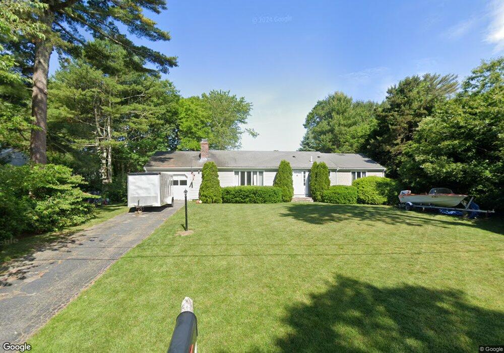
78 Cedric Rd Centerville, MA 02632
Centerville NeighborhoodEstimated Value: $605,417 - $676,000
3
Beds
2
Baths
1,576
Sq Ft
$405/Sq Ft
Est. Value
About This Home
This home is located at 78 Cedric Rd, Centerville, MA 02632 and is currently estimated at $637,854, approximately $404 per square foot. 78 Cedric Rd is a home located in Barnstable County with nearby schools including West Villages Elementary School, Barnstable United Elementary School, and Barnstable Intermediate School.
Ownership History
Date
Name
Owned For
Owner Type
Purchase Details
Closed on
Mar 18, 2011
Sold by
Elizabeth A Wilson T
Bought by
Border Bay Ventures Rt
Current Estimated Value
Purchase Details
Closed on
Oct 6, 2009
Sold by
Wilson Elizabeth A
Bought by
Elizabeth A Wilson T
Purchase Details
Closed on
Jun 12, 1992
Sold by
Purtle Helen R
Bought by
Wilson Elizabeth A
Create a Home Valuation Report for This Property
The Home Valuation Report is an in-depth analysis detailing your home's value as well as a comparison with similar homes in the area
Home Values in the Area
Average Home Value in this Area
Purchase History
| Date | Buyer | Sale Price | Title Company |
|---|---|---|---|
| Border Bay Ventures Rt | $242,000 | -- | |
| Elizabeth A Wilson T | -- | -- | |
| Wilson Elizabeth A | $110,000 | -- |
Source: Public Records
Tax History Compared to Growth
Tax History
| Year | Tax Paid | Tax Assessment Tax Assessment Total Assessment is a certain percentage of the fair market value that is determined by local assessors to be the total taxable value of land and additions on the property. | Land | Improvement |
|---|---|---|---|---|
| 2025 | $4,516 | $558,200 | $151,900 | $406,300 |
| 2024 | $4,332 | $554,700 | $151,900 | $402,800 |
| 2023 | $4,076 | $488,700 | $138,100 | $350,600 |
| 2022 | $3,900 | $404,600 | $102,300 | $302,300 |
| 2021 | $3,678 | $350,600 | $102,300 | $248,300 |
| 2020 | $2,047 | $341,200 | $102,300 | $238,900 |
| 2019 | $3,545 | $314,300 | $102,300 | $212,000 |
| 2018 | $1,856 | $278,200 | $107,700 | $170,500 |
| 2017 | $1,800 | $269,600 | $107,700 | $161,900 |
| 2016 | $2,947 | $270,400 | $108,500 | $161,900 |
| 2015 | $2,796 | $257,700 | $105,100 | $152,600 |
Source: Public Records
Map
Nearby Homes
- 87 Foxglove Rd
- 1044 Old Falmouth Rd
- 1028 Old Falmouth Rd
- 315 Prince Hinckley Rd
- 900 Old Stage Rd
- 21 Shannon Way
- 62 Three Ponds Dr
- 296 Buckskin Path
- 88 Joe Thompson Rd
- 74 Saddler Ln
- 205 James Otis Rd
- 80 Saddler Ln
- 40 Appaloosa Way
- 81 Monomoy Cir
- 7 Ebenezer
- 50 Currycomb Cir
- 16 Bridgets Path
- 73 Tern Ln
- 66 Tern Ln