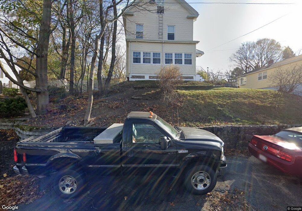
78 Clifton Ave Saugus, MA 01906
Cliftondale NeighborhoodEstimated Value: $642,000 - $734,000
3
Beds
3
Baths
2,117
Sq Ft
$320/Sq Ft
Est. Value
About This Home
This home is located at 78 Clifton Ave, Saugus, MA 01906 and is currently estimated at $677,922, approximately $320 per square foot. 78 Clifton Ave is a home located in Essex County with nearby schools including Saugus High School, Pioneer Charter School Of Science II, and Sacred Heart School.
Ownership History
Date
Name
Owned For
Owner Type
Purchase Details
Closed on
Dec 29, 2006
Sold by
Bac Rt and Celata Barbara A
Bought by
Wood Thomas
Current Estimated Value
Home Financials for this Owner
Home Financials are based on the most recent Mortgage that was taken out on this home.
Original Mortgage
$295,000
Outstanding Balance
$177,075
Interest Rate
6.29%
Mortgage Type
Purchase Money Mortgage
Estimated Equity
$500,847
Create a Home Valuation Report for This Property
The Home Valuation Report is an in-depth analysis detailing your home's value as well as a comparison with similar homes in the area
Home Values in the Area
Average Home Value in this Area
Purchase History
| Date | Buyer | Sale Price | Title Company |
|---|---|---|---|
| Wood Thomas | $296,000 | -- |
Source: Public Records
Mortgage History
| Date | Status | Borrower | Loan Amount |
|---|---|---|---|
| Open | Wood Thomas | $295,000 |
Source: Public Records
Tax History
| Year | Tax Paid | Tax Assessment Tax Assessment Total Assessment is a certain percentage of the fair market value that is determined by local assessors to be the total taxable value of land and additions on the property. | Land | Improvement |
|---|---|---|---|---|
| 2025 | $6,002 | $562,000 | $301,900 | $260,100 |
| 2024 | $5,742 | $539,200 | $284,600 | $254,600 |
| 2023 | $5,528 | $490,900 | $250,100 | $240,800 |
| 2022 | $5,282 | $439,800 | $229,400 | $210,400 |
| 2021 | $4,871 | $394,700 | $199,300 | $195,400 |
| 2020 | $4,592 | $385,200 | $189,800 | $195,400 |
| 2019 | $4,481 | $367,900 | $172,500 | $195,400 |
| 2018 | $4,078 | $352,200 | $167,300 | $184,900 |
| 2017 | $3,813 | $316,400 | $156,100 | $160,300 |
| 2016 | $3,379 | $277,000 | $155,900 | $121,100 |
| 2015 | $3,172 | $263,900 | $148,500 | $115,400 |
| 2014 | $3,149 | $271,200 | $148,500 | $122,700 |
Source: Public Records
Map
Nearby Homes
- 9 Avon St
- 20 Palmer Ave
- 19 Laurel St
- 2 Ashford St
- 10 Allison Rd
- 31 Mountain Ave
- 360 Lincoln Ave
- 141 Essex St Unit B1
- 141 Essex St Unit D6
- 141 Essex St Unit B4
- 6 Saugus Ave Unit A
- 35 Liberty Ave
- 5 Hollis St
- 133 Salem St Unit 414
- 28 Naples Ave
- 7 Adams Ave
- 25 Piedmont Ave
- 25 Auburn St
- 0 Hampton St
- 57 Vine St
- 80 Clifton Ave
- 74 Clifton Ave
- 82 Clifton Ave
- 30 Western Ave
- 28 Western Ave
- 28 Western Ave Unit 1
- 28 Western Ave
- 28 Western Ave Unit Avenue
- 32 Western Ave
- 26 Western Ave
- 79 Clifton Ave
- 77 Clifton Ave
- 81 Clifton Ave
- 75 Clifton Ave
- 36 Western Ave
- 83 Clifton Ave
- 84 Clifton Ave
- 70 Clifton Ave
- 24 Western Ave
- 85 Clifton Ave
Your Personal Tour Guide
Ask me questions while you tour the home.