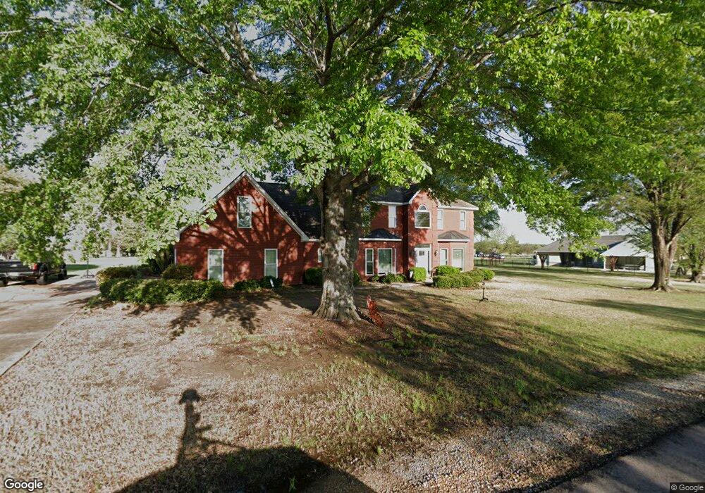
78 Elm Cove Columbus, MS 39701
Estimated Value: $413,000 - $479,000
--
Bed
1
Bath
3,402
Sq Ft
$132/Sq Ft
Est. Value
About This Home
This home is located at 78 Elm Cove, Columbus, MS 39701 and is currently estimated at $450,230, approximately $132 per square foot. 78 Elm Cove is a home.
Ownership History
Date
Name
Owned For
Owner Type
Purchase Details
Closed on
Aug 13, 2021
Sold by
Arzamendi Miguel and Arzamendi Karen K
Bought by
Vaughan Brian G and Haga-Vaughan Rebecca
Current Estimated Value
Purchase Details
Closed on
Oct 24, 2014
Sold by
Smith Lillie
Bought by
Arzamendi Miguel and Arzamendi Karen K
Home Financials for this Owner
Home Financials are based on the most recent Mortgage that was taken out on this home.
Original Mortgage
$208,000
Interest Rate
3.44%
Mortgage Type
New Conventional
Purchase Details
Closed on
Sep 11, 2006
Sold by
Henderson Samuel A and Henderson Kerry S
Bought by
Smith Lillie
Home Financials for this Owner
Home Financials are based on the most recent Mortgage that was taken out on this home.
Original Mortgage
$129,062
Interest Rate
6.52%
Create a Home Valuation Report for This Property
The Home Valuation Report is an in-depth analysis detailing your home's value as well as a comparison with similar homes in the area
Home Values in the Area
Average Home Value in this Area
Purchase History
| Date | Buyer | Sale Price | Title Company |
|---|---|---|---|
| Vaughan Brian G | -- | None Available | |
| Arzamendi Miguel | -- | -- | |
| Smith Lillie | -- | -- |
Source: Public Records
Mortgage History
| Date | Status | Borrower | Loan Amount |
|---|---|---|---|
| Previous Owner | Arzamendi Miguel | $208,000 | |
| Previous Owner | Smith Lillie | $129,062 |
Source: Public Records
Tax History Compared to Growth
Tax History
| Year | Tax Paid | Tax Assessment Tax Assessment Total Assessment is a certain percentage of the fair market value that is determined by local assessors to be the total taxable value of land and additions on the property. | Land | Improvement |
|---|---|---|---|---|
| 2025 | $2,647 | $30,642 | $0 | $0 |
| 2024 | $2,623 | $30,642 | $0 | $0 |
| 2023 | $2,841 | $33,070 | $0 | $0 |
| 2022 | $2,843 | $33,070 | $0 | $0 |
| 2021 | $1,869 | $23,705 | $0 | $0 |
| 2020 | $1,747 | $23,705 | $0 | $0 |
| 2019 | $1,827 | $23,530 | $0 | $0 |
| 2018 | $1,827 | $23,876 | $0 | $0 |
| 2017 | $1,731 | $23,876 | $0 | $0 |
| 2016 | $1,731 | $23,876 | $0 | $0 |
| 2015 | $1,777 | $24,418 | $0 | $0 |
| 2014 | $1,777 | $24,418 | $0 | $0 |
Source: Public Records
Map
Nearby Homes
- 49 Billy Casper Dr
- 1291 S Frontage Rd
- 23 Breezeway Cove
- 28 Breezeway Cove
- 100 Breezeway Cove
- 112 Breezeway Cove
- 96 Breezeway Cove
- 110 Breezeway Cove
- 0 Golden Horn Rd
- 0 S Frontage Road Lot #5 Unit 25-583
- 0 S Frontage Road Lot #3 Unit 25-581
- 0 S Frontage Road Lot #1 Unit 25-579
- 1381 S Frontage Rd
- 3267 Old West Point Rd
- 2 S Frontage Rd
- 4 S Frontage Rd
- 0 Hwy 45 N Unit 25-1761
- 541 Mount Airey Church Rd
- 5 Clisby Rd
- 13 Clisby Rd