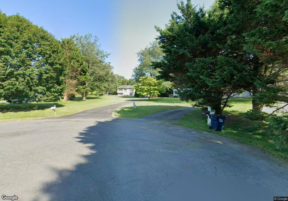
78 Franklin Dr Port Deposit, MD 21904
Estimated Value: $354,000 - $399,000
--
Bed
1
Bath
1,118
Sq Ft
$342/Sq Ft
Est. Value
About This Home
This home is located at 78 Franklin Dr, Port Deposit, MD 21904 and is currently estimated at $382,726, approximately $342 per square foot. 78 Franklin Dr is a home located in Cecil County with nearby schools including Conowingo Elementary School, Perryville Middle School, and Perryville High School.
Ownership History
Date
Name
Owned For
Owner Type
Purchase Details
Closed on
Aug 1, 2000
Sold by
Mentz James C and Mentz Kathleen A
Bought by
Troy Greg J
Current Estimated Value
Purchase Details
Closed on
Feb 16, 1990
Sold by
Tiffin Builders, Inc.
Bought by
Mentz James C and Mentz Kathleen A
Home Financials for this Owner
Home Financials are based on the most recent Mortgage that was taken out on this home.
Original Mortgage
$93,731
Interest Rate
10.1%
Purchase Details
Closed on
Jun 29, 1989
Sold by
Cardiff-Bentley Partnership
Bought by
Tiffin Builders, Inc.
Home Financials for this Owner
Home Financials are based on the most recent Mortgage that was taken out on this home.
Original Mortgage
$56,138
Interest Rate
10.19%
Create a Home Valuation Report for This Property
The Home Valuation Report is an in-depth analysis detailing your home's value as well as a comparison with similar homes in the area
Home Values in the Area
Average Home Value in this Area
Purchase History
| Date | Buyer | Sale Price | Title Company |
|---|---|---|---|
| Troy Greg J | $124,000 | -- | |
| Mentz James C | $99,500 | -- | |
| Tiffin Builders, Inc. | $59,300 | -- |
Source: Public Records
Mortgage History
| Date | Status | Borrower | Loan Amount |
|---|---|---|---|
| Previous Owner | Mentz James C | $93,731 | |
| Previous Owner | Tiffin Builders, Inc. | $56,138 | |
| Closed | Troy Greg J | -- |
Source: Public Records
Tax History Compared to Growth
Tax History
| Year | Tax Paid | Tax Assessment Tax Assessment Total Assessment is a certain percentage of the fair market value that is determined by local assessors to be the total taxable value of land and additions on the property. | Land | Improvement |
|---|---|---|---|---|
| 2025 | $3,075 | $286,133 | $0 | $0 |
| 2024 | $2,603 | $269,867 | $0 | $0 |
| 2023 | $2,161 | $253,600 | $73,900 | $179,700 |
| 2022 | $2,809 | $249,400 | $0 | $0 |
| 2021 | $2,753 | $245,200 | $0 | $0 |
| 2020 | $2,840 | $241,000 | $73,900 | $167,100 |
| 2019 | $2,783 | $236,067 | $0 | $0 |
| 2018 | $2,726 | $231,133 | $0 | $0 |
| 2017 | $2,669 | $226,200 | $0 | $0 |
| 2016 | $2,554 | $226,200 | $0 | $0 |
| 2015 | $2,554 | $226,200 | $0 | $0 |
| 2014 | $2,094 | $227,600 | $0 | $0 |
Source: Public Records
Map
Nearby Homes
- 176 Rowland Rd
- 278 N Main St
- 236 N Main St
- 111 N Main St
- 145 Honeysuckle Dr
- 106 Rowland Dr
- 102 Rowland Dr Unit 101
- 317 Rowland Dr
- 18 S Main St
- 52 Craig Ct
- 84 Clematis Way
- 21 High St
- 12 Benjamin Park Dr
- 0 Liberty Grove Rd Unit MDCC2015324
- 4 Brenda St
- TBD White Spruce Way
- TBD Rowland Dr
- TBD Pine Needle Ct
- 0 Waibel Rd
- 68 Franklin Dr
- 56 Franklin Dr
- 9 Bentley Ln
- 82 Franklin Dr
- 33 Bentley Ln
- 369 Liberty Grove Rd
- 1 Bentley Ln
- 75 Franklin Dr
- 34 Franklin Dr
- 381 Liberty Grove Rd
- 12 Franklin Dr
- 24 Franklin Dr
- 0 Rowland Rd Unit 1006812528
- 0 Rowland Rd Unit 1006811230
- 0 Rowland Rd Unit CC7560779
- 0 Rowland Rd Unit CC7563761
- 0 Rowland Rd Unit 1004204464
- 0 Rowland Rd Unit 1009707508
- 0 Rowland Rd Unit 1009707338
- 0 Rowland Rd