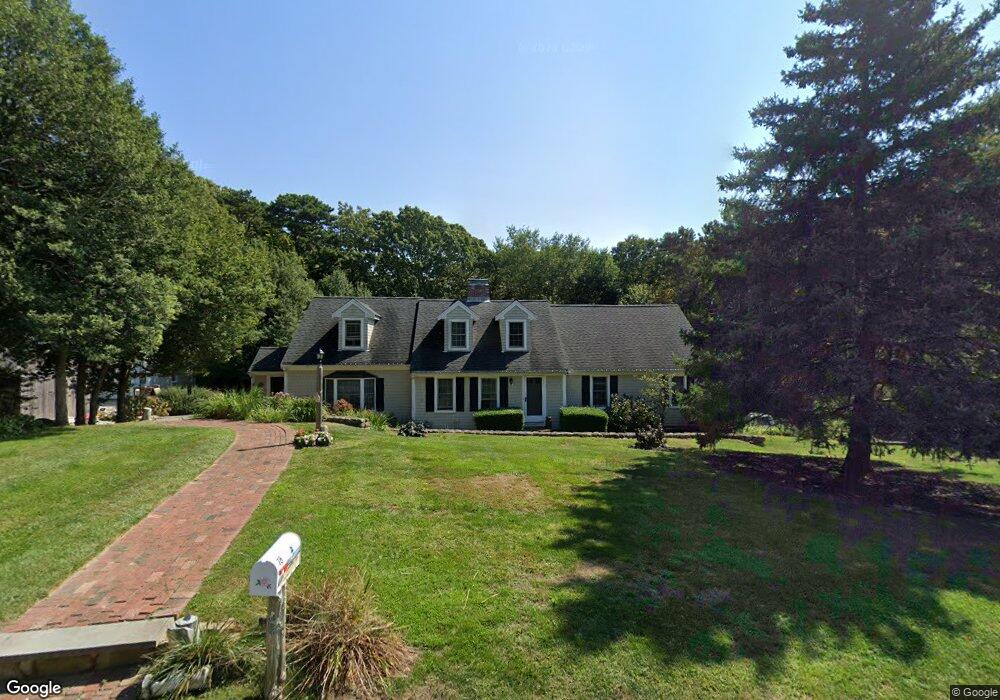
78 Hazel Path Marstons Mills, MA 02648
Marstons Mills NeighborhoodEstimated Value: $887,000 - $1,083,000
6
Beds
5
Baths
3,407
Sq Ft
$288/Sq Ft
Est. Value
About This Home
This home is located at 78 Hazel Path, Marstons Mills, MA 02648 and is currently estimated at $979,713, approximately $287 per square foot. 78 Hazel Path is a home located in Barnstable County with nearby schools including West Villages Elementary School, Barnstable United Elementary School, and Barnstable Intermediate School.
Ownership History
Date
Name
Owned For
Owner Type
Purchase Details
Closed on
Feb 5, 2026
Sold by
King Sr Charles R Est and Leonard
Bought by
Mays Corrie J and Mays Gabriel
Current Estimated Value
Home Financials for this Owner
Home Financials are based on the most recent Mortgage that was taken out on this home.
Original Mortgage
$1,100,000
Outstanding Balance
$1,098,942
Interest Rate
6.18%
Mortgage Type
New Conventional
Estimated Equity
-$119,229
Purchase Details
Closed on
Jan 13, 2026
Sold by
Charles R King Sr Lt and King
Bought by
Mays Corrie J and Mays Gabriel
Home Financials for this Owner
Home Financials are based on the most recent Mortgage that was taken out on this home.
Original Mortgage
$1,100,000
Outstanding Balance
$1,098,942
Interest Rate
6.18%
Mortgage Type
New Conventional
Estimated Equity
-$119,229
Purchase Details
Closed on
Oct 24, 2008
Sold by
King Charles R
Bought by
Charles R King Sr Lt and King
Create a Home Valuation Report for This Property
The Home Valuation Report is an in-depth analysis detailing your home's value as well as a comparison with similar homes in the area
Home Values in the Area
Average Home Value in this Area
Purchase History
| Date | Buyer | Sale Price | Title Company |
|---|---|---|---|
| Mays Corrie J | $329,703 | -- | |
| Mays Corrie J | $770,297 | -- | |
| Charles R King Sr Lt | -- | -- |
Source: Public Records
Mortgage History
| Date | Status | Borrower | Loan Amount |
|---|---|---|---|
| Open | Mays Corrie J | $1,100,000 |
Source: Public Records
Tax History
| Year | Tax Paid | Tax Assessment Tax Assessment Total Assessment is a certain percentage of the fair market value that is determined by local assessors to be the total taxable value of land and additions on the property. | Land | Improvement |
|---|---|---|---|---|
| 2025 | $7,646 | $945,100 | $177,700 | $767,400 |
| 2024 | $2,186 | $279,900 | $177,700 | $102,200 |
| 2023 | $6,858 | $822,300 | $161,700 | $660,600 |
| 2022 | $6,547 | $679,200 | $120,200 | $559,000 |
| 2021 | $7,514 | $606,400 | $120,200 | $486,200 |
| 2020 | $6,463 | $589,700 | $129,300 | $460,400 |
| 2019 | $1,763 | $542,200 | $129,300 | $412,900 |
| 2018 | $6,470 | $495,400 | $136,000 | $359,400 |
| 2017 | $6,183 | $479,100 | $136,000 | $343,100 |
| 2016 | $5,236 | $480,400 | $137,300 | $343,100 |
| 2015 | $5,140 | $473,700 | $131,400 | $342,300 |
Source: Public Records
Map
Nearby Homes
- 318 Old Mill Rd
- 315 Blackthorn Rd
- 4 Lan Rd
- 289 Santuit-Newtown Rd
- 16 Newtown Rd
- 23 Old Fields Rd
- 6 George Gallant Rd
- 23 Middle Pond Path
- 82 Old Fields Rd
- 10 Wintergreen Ln
- 152 Wakeby Rd
- 2 Open Space Dr
- 32 Willington Ave
- 34 Mistic Dr
- 16 Mockingbird Ln
- 19 Oriole Ln
- 192 Sandy Valley Rd
- 30 Flicker Ln
- 48 Holly Ridge Dr
- 159 Great Hill Rd
Your Personal Tour Guide
Ask me questions while you tour the home.