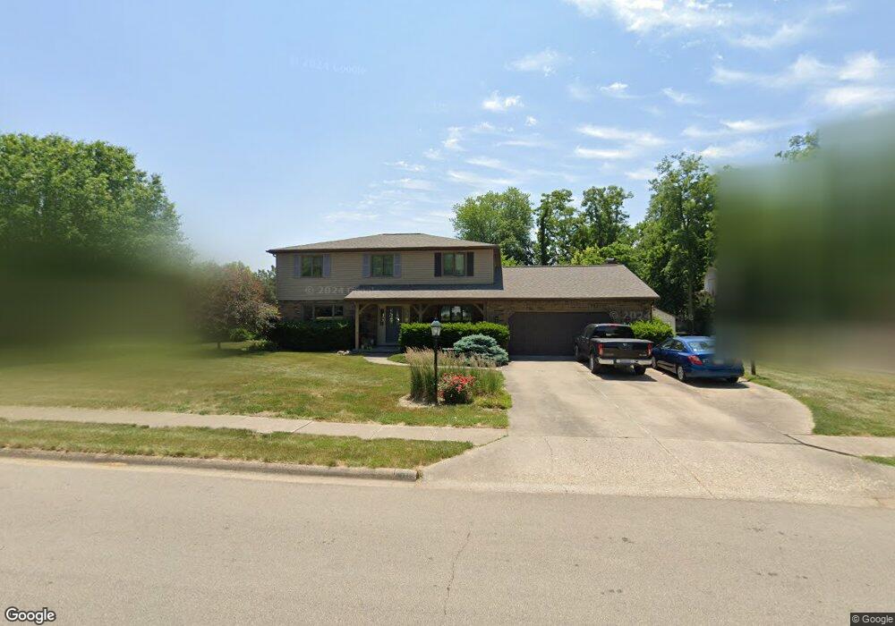
78 Maple Ridge Dr Morton, IL 61550
Estimated Value: $403,000 - $450,000
4
Beds
4
Baths
2,701
Sq Ft
$158/Sq Ft
Est. Value
About This Home
This home is located at 78 Maple Ridge Dr, Morton, IL 61550 and is currently estimated at $427,491, approximately $158 per square foot. 78 Maple Ridge Dr is a home located in Tazewell County with nearby schools including Morton High School, Blessed Sacrament School, and Bethel Lutheran School.
Ownership History
Date
Name
Owned For
Owner Type
Purchase Details
Closed on
Jun 25, 2010
Sold by
Mccord Susan P
Bought by
Collins Kevin W and Collins Jane R
Current Estimated Value
Home Financials for this Owner
Home Financials are based on the most recent Mortgage that was taken out on this home.
Original Mortgage
$187,600
Outstanding Balance
$125,532
Interest Rate
4.86%
Mortgage Type
New Conventional
Estimated Equity
$301,959
Create a Home Valuation Report for This Property
The Home Valuation Report is an in-depth analysis detailing your home's value as well as a comparison with similar homes in the area
Home Values in the Area
Average Home Value in this Area
Purchase History
| Date | Buyer | Sale Price | Title Company |
|---|---|---|---|
| Collins Kevin W | $268,000 | None Available |
Source: Public Records
Mortgage History
| Date | Status | Borrower | Loan Amount |
|---|---|---|---|
| Open | Collins Kevin W | $187,600 |
Source: Public Records
Tax History Compared to Growth
Tax History
| Year | Tax Paid | Tax Assessment Tax Assessment Total Assessment is a certain percentage of the fair market value that is determined by local assessors to be the total taxable value of land and additions on the property. | Land | Improvement |
|---|---|---|---|---|
| 2024 | $7,048 | $114,970 | $17,520 | $97,450 |
| 2023 | $7,048 | $107,110 | $16,320 | $90,790 |
| 2022 | $6,747 | $98,370 | $14,990 | $83,380 |
| 2021 | $6,457 | $94,580 | $14,410 | $80,170 |
| 2020 | $6,251 | $93,650 | $14,270 | $79,380 |
| 2019 | $6,612 | $93,650 | $14,270 | $79,380 |
| 2018 | $6,491 | $93,650 | $14,270 | $79,380 |
| 2017 | $6,323 | $92,730 | $14,130 | $78,600 |
| 2016 | $6,197 | $92,730 | $14,130 | $78,600 |
| 2015 | $5,966 | $0 | $0 | $0 |
| 2013 | $5,906 | $89,300 | $13,610 | $75,690 |
Source: Public Records
Map
Nearby Homes
- 41 Forestview Rd
- 11 Hickory Ridge Dr
- 43 Lynnwood Ct
- Lot 84 Timber Wolf Dr
- 35 Timber Wolf Dr
- Lot 46 Wolf Crossing Dr
- Lot 1 Wolf Crossing Dr
- Lot 47 Wolf Crossing Dr
- 45 Fox Creek Ct
- 12 Crystal Ct
- 58 Waldheim Rd
- 614 Thornridge Dr
- 26 Linden Ct
- 26 Jasper Ct
- 1224 Autumn Ridge Ct
- 303 Turtle Creek Trail
- 116 E Sassafras Dr Unit 116Sas
- 110 White Oak Dr Unit 110Whi
- 111 Willow Oak Dr Unit 111Wil
- 25409 Schuck Rd
- 82 Maple Ridge Dr
- 80 Hickory Ridge Dr
- 73 Locust Ridge Ct
- 86 Maple Ridge Dr
- 81 Maple Ridge Dr
- 75 Locust Ridge Ct
- 68 Maple Ridge Dr
- 85 Maple Ridge Dr
- 77 Hickory Ridge Dr
- 75 Maple Ridge Dr
- 79 Locust Ridge Ct
- 90 Maple Ridge Dr
- 91 Maple Ridge Dr
- 64 Maple Ridge Dr
- 73 Hickory Ridge Dr
- 76 Locust Ridge Ct
- 83 Locust Ridge Ct
- 74 Hickory Ridge Ct
- 94 Maple Ridge Dr