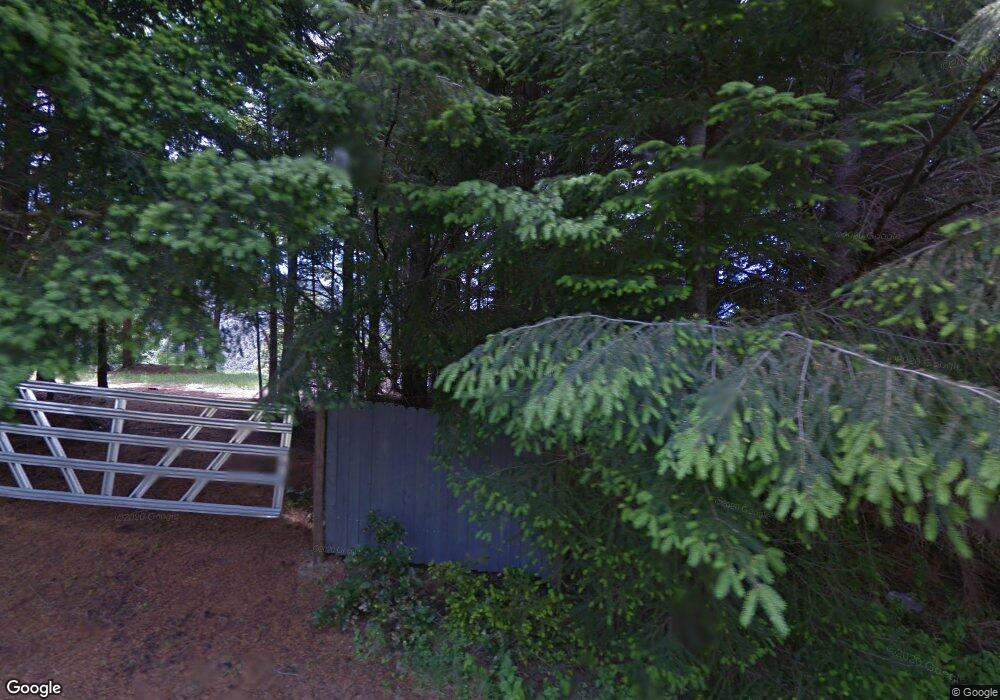
78 Mink Dr Whitethorn, CA 95589
Shelter Cove NeighborhoodEstimated Value: $144,777 - $347,000
--
Bed
--
Bath
--
Sq Ft
0.3
Acres
About This Home
This home is located at 78 Mink Dr, Whitethorn, CA 95589 and is currently estimated at $276,444. 78 Mink Dr is a home.
Ownership History
Date
Name
Owned For
Owner Type
Purchase Details
Closed on
Apr 6, 2020
Sold by
Boerner Tiwana S
Bought by
Johnson Lacey M and Outzen Kyle V
Current Estimated Value
Purchase Details
Closed on
Feb 17, 2017
Sold by
Buck Scott
Bought by
Goerner Tiwana S and Johnson Lacey Mae
Home Financials for this Owner
Home Financials are based on the most recent Mortgage that was taken out on this home.
Original Mortgage
$42,500
Outstanding Balance
$35,079
Interest Rate
4.09%
Mortgage Type
Seller Take Back
Estimated Equity
$241,365
Purchase Details
Closed on
Apr 23, 2004
Sold by
Scannon Harriet
Bought by
Buck Scott
Home Financials for this Owner
Home Financials are based on the most recent Mortgage that was taken out on this home.
Original Mortgage
$22,000
Interest Rate
5.77%
Mortgage Type
Seller Take Back
Create a Home Valuation Report for This Property
The Home Valuation Report is an in-depth analysis detailing your home's value as well as a comparison with similar homes in the area
Home Values in the Area
Average Home Value in this Area
Purchase History
| Date | Buyer | Sale Price | Title Company |
|---|---|---|---|
| Johnson Lacey M | -- | None Available | |
| Goerner Tiwana S | $52,000 | Humboldt Land Title Company | |
| Buck Scott | $30,000 | Humboldt Land Title Company |
Source: Public Records
Mortgage History
| Date | Status | Borrower | Loan Amount |
|---|---|---|---|
| Open | Goerner Tiwana S | $42,500 | |
| Previous Owner | Buck Scott | $22,000 |
Source: Public Records
Tax History Compared to Growth
Tax History
| Year | Tax Paid | Tax Assessment Tax Assessment Total Assessment is a certain percentage of the fair market value that is determined by local assessors to be the total taxable value of land and additions on the property. | Land | Improvement |
|---|---|---|---|---|
| 2025 | $579 | $22,967 | $20,167 | $2,800 |
| 2024 | $579 | $22,518 | $19,772 | $2,746 |
| 2023 | $580 | $22,078 | $19,385 | $2,693 |
| 2022 | $576 | $21,646 | $19,005 | $2,641 |
| 2021 | $650 | $28,947 | $26,267 | $2,680 |
| 2020 | $652 | $28,651 | $25,998 | $2,653 |
| 2019 | $644 | $28,090 | $25,489 | $2,601 |
| 2018 | $612 | $27,540 | $24,990 | $2,550 |
| 2017 | $639 | $36,747 | $36,747 | $0 |
| 2016 | $636 | $36,027 | $36,027 | $0 |
| 2015 | $634 | $35,486 | $35,486 | $0 |
| 2014 | $610 | $34,791 | $34,791 | $0 |
Source: Public Records
Map
Nearby Homes
- 247 Muskrat Cir
- 615 Muskrat Cir
- 0 Muskrat Cir
- 614 Wolverine Way
- 606 Wolverine Way
- 678 Wolverine Way
- 26 Muskrat Cir
- 4 Muskrat Cir
- 12 Muskrat Cir
- 72 Elkhorn Ct
- 230 Cougar Rd
- 00 & 000 Wolverine Way
- 31 Wolverine Way
- 0 Raintree Cir
- 91 Walker Way
- 1867 Telegraph Creek Rd
- 0 Telegraph Creek Rd
- 755 Telegraph Creek Rd
- 1504 Telegraph Creek Rd
- 925 Telegraph Creek Rd
