78 Nelson Hill Rd N Bradford, NH 03221
Estimated Value: $490,000 - $551,000
3
Beds
1
Bath
1,582
Sq Ft
$331/Sq Ft
Est. Value
About This Home
This home is located at 78 Nelson Hill Rd N, Bradford, NH 03221 and is currently estimated at $524,025, approximately $331 per square foot. 78 Nelson Hill Rd N is a home located in Merrimack County with nearby schools including Kearsarge Regional Elementary School at Bradford, Kearsarge Regional Middle School, and Kearsarge Regional High School.
Ownership History
Date
Name
Owned For
Owner Type
Purchase Details
Closed on
Jan 7, 2005
Sold by
Fitzgerald John J
Bought by
Buker 3Rd Harold W
Current Estimated Value
Create a Home Valuation Report for This Property
The Home Valuation Report is an in-depth analysis detailing your home's value as well as a comparison with similar homes in the area
Home Values in the Area
Average Home Value in this Area
Purchase History
| Date | Buyer | Sale Price | Title Company |
|---|---|---|---|
| Buker 3Rd Harold W | $150,000 | -- |
Source: Public Records
Mortgage History
| Date | Status | Borrower | Loan Amount |
|---|---|---|---|
| Open | Buker 3Rd Harold W | $28,226 |
Source: Public Records
Tax History Compared to Growth
Tax History
| Year | Tax Paid | Tax Assessment Tax Assessment Total Assessment is a certain percentage of the fair market value that is determined by local assessors to be the total taxable value of land and additions on the property. | Land | Improvement |
|---|---|---|---|---|
| 2024 | $7,152 | $265,469 | $107,189 | $158,280 |
| 2023 | $5,236 | $206,402 | $84,202 | $122,200 |
| 2022 | $4,994 | $206,693 | $84,493 | $122,200 |
| 2021 | $72 | $2,980 | $2,980 | $0 |
| 2020 | $76 | $3,069 | $3,069 | $0 |
| 2019 | $80 | $2,664 | $2,664 | $0 |
| 2016 | $3,876 | $143,652 | $70,852 | $72,800 |
| 2015 | $3,875 | $143,634 | $70,834 | $72,800 |
| 2014 | $3,806 | $157,320 | $76,900 | $80,420 |
| 2012 | $3,409 | $158,040 | $77,620 | $80,420 |
Source: Public Records
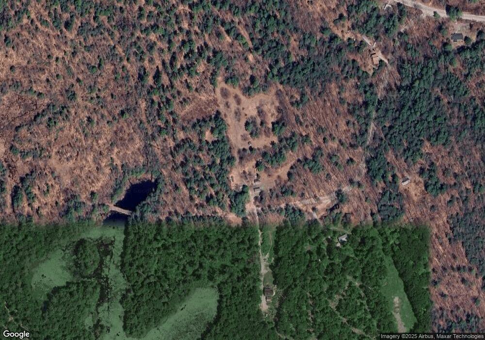
Map
Nearby Homes
- 16 Hogg Hill Rd
- 19 Center Rd
- 64 Rowe Mountain Rd
- 257 Jackson Rd
- 5 Greenhouse Ln
- 55 Water St
- 38 Water St
- 114 E Main St
- 98 Woodview Heights
- 26 Butman Rd
- 2 Chestnut Hollow Unit 11-9-2
- 45 Crittenden Rd
- 320 West Rd
- * Alder Plains Rd
- 44 Pleasant View Rd
- 00 Fairgrounds Rd Unit 5
- 375 West Rd
- 74 N Ridge Rd
- 0 Bagley Hill Rd
- 83 Bagley Hill Rd
- 77 Nelson Hill Rd N
- 84 Nelson Hill Rd N
- 160 Nelson Hill Rd S
- 53 Nelson Hill Rd S
- 69 Nelson Hill Rd S
- 18 Nelson Hill Rd S
- 318 Center Rd
- 200 Center Rd
- 0 Center Rd Unit 4910647
- 0 Center Rd Unit Lot 102-0A and 0B
- 0 Center Rd
- 269 Center Rd
- 275 Center Rd
- 328 Center Rd
- 26 Maple View Dr
- 0 Cheney Hill Rd
- 7 acre Lot Center Road & Cheney Hill Rd
- Lot 11 Maple View Dr
- 11 Maple View Dr
- 7 Maple View Dr