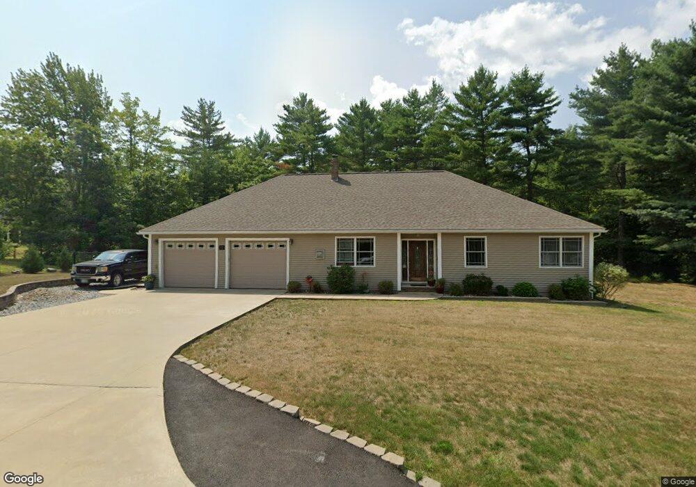
78 Pemigewasset Dr Conway, NH 03818
Estimated Value: $567,000 - $769,000
2
Beds
2
Baths
2,310
Sq Ft
$280/Sq Ft
Est. Value
About This Home
This home is located at 78 Pemigewasset Dr, Conway, NH 03818 and is currently estimated at $646,833, approximately $280 per square foot. 78 Pemigewasset Dr is a home with nearby schools including A. Crosby Kennett Middle School, Kennett High School, and Cady Memorial School.
Ownership History
Date
Name
Owned For
Owner Type
Purchase Details
Closed on
Feb 15, 2019
Sold by
Whitford Kevin and Whitford Margaret
Bought by
Behrend Edward G and Behrend Maryann
Current Estimated Value
Home Financials for this Owner
Home Financials are based on the most recent Mortgage that was taken out on this home.
Original Mortgage
$205,000
Outstanding Balance
$179,864
Interest Rate
4.4%
Mortgage Type
Purchase Money Mortgage
Estimated Equity
$466,969
Purchase Details
Closed on
May 2, 2011
Sold by
Nelson Bergman Group I
Bought by
Whitford Kevin and Whitford Margaret
Create a Home Valuation Report for This Property
The Home Valuation Report is an in-depth analysis detailing your home's value as well as a comparison with similar homes in the area
Home Values in the Area
Average Home Value in this Area
Purchase History
| Date | Buyer | Sale Price | Title Company |
|---|---|---|---|
| Behrend Edward G | $305,000 | -- | |
| Whitford Kevin | $49,900 | -- |
Source: Public Records
Mortgage History
| Date | Status | Borrower | Loan Amount |
|---|---|---|---|
| Open | Behrend Edward G | $205,000 | |
| Previous Owner | Whitford Kevin | $170,000 |
Source: Public Records
Tax History Compared to Growth
Tax History
| Year | Tax Paid | Tax Assessment Tax Assessment Total Assessment is a certain percentage of the fair market value that is determined by local assessors to be the total taxable value of land and additions on the property. | Land | Improvement |
|---|---|---|---|---|
| 2024 | $6,668 | $555,700 | $56,800 | $498,900 |
| 2023 | $5,996 | $555,700 | $56,800 | $498,900 |
| 2022 | $5,527 | $303,000 | $50,400 | $252,600 |
| 2021 | $4,951 | $303,000 | $50,400 | $252,600 |
| 2020 | $5,269 | $303,000 | $50,400 | $252,600 |
| 2019 | $5,248 | $303,000 | $50,400 | $252,600 |
| 2018 | $6,514 | $302,800 | $70,200 | $232,600 |
| 2017 | $6,050 | $302,800 | $70,200 | $232,600 |
| 2016 | $5,847 | $302,800 | $70,200 | $232,600 |
| 2015 | $5,780 | $302,800 | $70,200 | $232,600 |
| 2014 | $5,711 | $302,800 | $70,200 | $232,600 |
| 2013 | $5,372 | $300,800 | $70,200 | $230,600 |
Source: Public Records
Map
Nearby Homes
- 106 Pemigewasset Dr
- 293 Pemigewasset Dr
- 1440 E Conway Rd
- 289 Davis Hill Rd
- 25 Singer Ln
- 33 Sands Cir
- 48 Sands Cir Unit 48D
- 361 Davis Hill Rd
- 43 Wildwood Way
- 574 Old Mill Rd
- 14 Goldfinch Ln
- 169 Mountainvale Dr
- 42 Harmony Ln Unit 5
- 1049 E Main St
- 63 Mill St
- 1139 E Conway Rd
- 827 Davis Hill Rd
- 00 Brownfield Rd Unit 11
- 00 Davis Hill Rd Unit 97
- 00 Stritch Rd Unit 58
- 30 Pemigewasset Dr
- 28 Pemigewasset Dr
- 32 Pemigewasset Dr
- 26 Pemigewasset Dr
- 31 Pemigewasset Dr
- 23 Pemigewasset Dr
- 24 Pemigewasset Dr
- Lot 6 Pemmigewasset Dr
- 27 Pemigewasset Dr Unit Lot 18
- 27 Pemigewasset Dr
- 92 Pemigewasset Dr
- 63 Pemigewasset Dr
- 91 Pemigewasset Dr
- 21 Pemigewasset Dr
- 22 Pemigewasset Dr
- Lot 29 Saco River Run
- Lot 32 Pemigewasset Dr
- 20 Pemigewasset Dr
- 19 Pemigewasset Dr
- 18 Pemigewasset Dr