78 Perch Ln Contoocook, NH 03229
Estimated Value: $615,000 - $650,000
2
Beds
2
Baths
2,109
Sq Ft
$300/Sq Ft
Est. Value
About This Home
This home is located at 78 Perch Ln, Contoocook, NH 03229 and is currently estimated at $632,427, approximately $299 per square foot. 78 Perch Ln is a home with nearby schools including Harold Martin School and Hopkinton Middle School.
Ownership History
Date
Name
Owned For
Owner Type
Purchase Details
Closed on
Oct 2, 2020
Sold by
Nelson Stuart F
Bought by
Trammell Jane E and Trammell Jason R
Current Estimated Value
Home Financials for this Owner
Home Financials are based on the most recent Mortgage that was taken out on this home.
Original Mortgage
$203,000
Outstanding Balance
$180,558
Interest Rate
2.9%
Mortgage Type
New Conventional
Estimated Equity
$451,869
Purchase Details
Closed on
Mar 8, 1999
Sold by
Hopkinton Town Of
Bought by
Nelson Stuart F
Create a Home Valuation Report for This Property
The Home Valuation Report is an in-depth analysis detailing your home's value as well as a comparison with similar homes in the area
Home Values in the Area
Average Home Value in this Area
Purchase History
| Date | Buyer | Sale Price | Title Company |
|---|---|---|---|
| Trammell Jane E | $390,000 | None Available | |
| Nelson Stuart F | $15,000 | -- |
Source: Public Records
Mortgage History
| Date | Status | Borrower | Loan Amount |
|---|---|---|---|
| Open | Trammell Jane E | $203,000 |
Source: Public Records
Tax History Compared to Growth
Tax History
| Year | Tax Paid | Tax Assessment Tax Assessment Total Assessment is a certain percentage of the fair market value that is determined by local assessors to be the total taxable value of land and additions on the property. | Land | Improvement |
|---|---|---|---|---|
| 2024 | $11,932 | $545,100 | $214,000 | $331,100 |
| 2023 | $8,864 | $253,100 | $60,100 | $193,000 |
| 2022 | $8,162 | $253,100 | $60,100 | $193,000 |
| 2020 | $7,403 | $253,100 | $60,100 | $193,000 |
| 2019 | $7,370 | $253,100 | $60,100 | $193,000 |
| 2018 | $6,781 | $195,200 | $31,500 | $163,700 |
| 2017 | $6,693 | $195,200 | $31,500 | $163,700 |
| 2016 | $6,549 | $195,200 | $31,500 | $163,700 |
| 2015 | $6,563 | $195,200 | $31,500 | $163,700 |
| 2014 | $6,245 | $191,800 | $31,500 | $160,300 |
| 2013 | $5,739 | $199,700 | $51,500 | $148,200 |
Source: Public Records
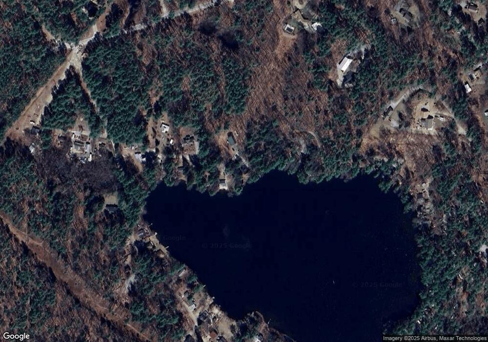
Map
Nearby Homes
- 93-1 Pine St
- 0 Pine St Unit 38 5061613
- 0 Pine St Unit 50 5060731
- 105 Clement Hill Rd
- 1036 Bound Tree Rd
- 430 Highland Dr
- 0 Old Concord Rd Unit 551-A 5014211
- 108 Maple St
- 2 Granite Valley
- 455 Maple St
- 143 Tanglewood Dr
- 85 Checkerberry Ln
- 38 Woodwells Garrison Rd
- 20 Duston Dr
- 0 Bound Tree Rd Unit 50 5060705
- 540-X9-A Route 114
- 540-X9B Route 114
- 2 Hope Rd
- 302 Flanders Rd
- 168 Route 103 E