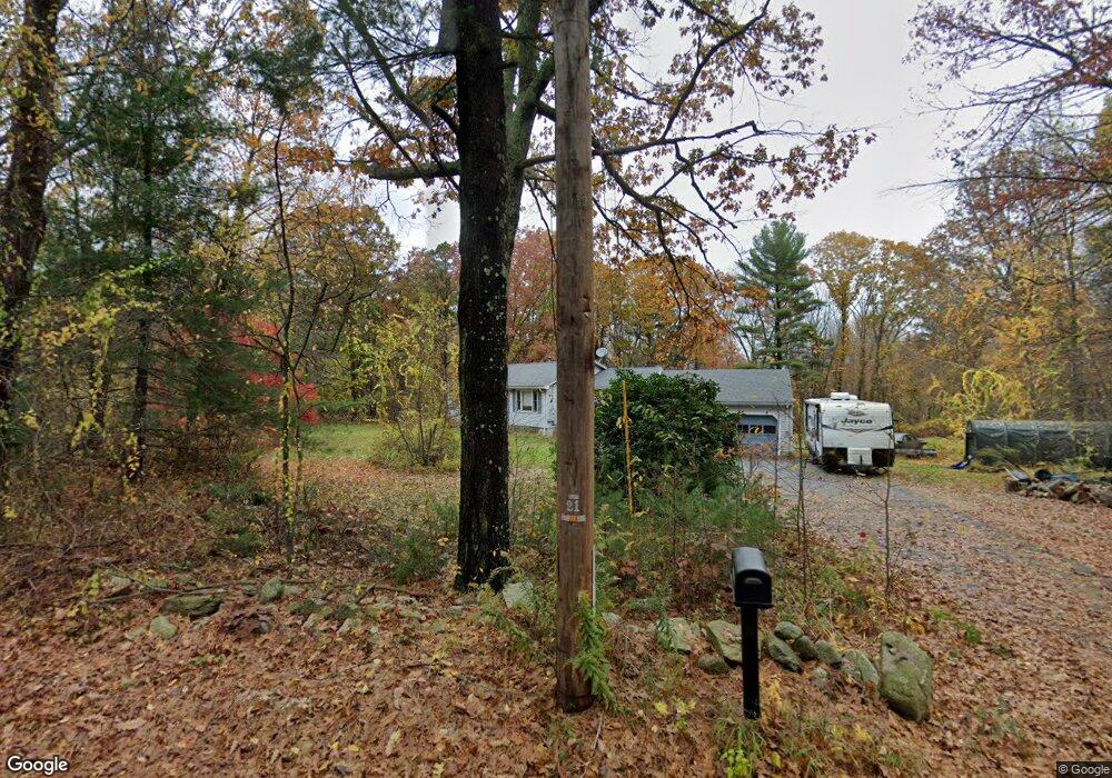
78 Perry St Douglas, MA 01516
Estimated Value: $474,000 - $505,000
3
Beds
1
Bath
1,266
Sq Ft
$387/Sq Ft
Est. Value
About This Home
This home is located at 78 Perry St, Douglas, MA 01516 and is currently estimated at $490,329, approximately $387 per square foot. 78 Perry St is a home located in Worcester County with nearby schools including Douglas Primary School, Douglas Middle School, and Douglas High School.
Ownership History
Date
Name
Owned For
Owner Type
Purchase Details
Closed on
Aug 5, 2010
Sold by
Mahall Charles E and Mahall Heather S M
Bought by
Boulanger Jamie R and Boulanger Danielle R
Current Estimated Value
Home Financials for this Owner
Home Financials are based on the most recent Mortgage that was taken out on this home.
Original Mortgage
$209,675
Outstanding Balance
$140,910
Interest Rate
4.87%
Mortgage Type
FHA
Estimated Equity
$349,419
Purchase Details
Closed on
Mar 26, 1997
Sold by
Hemmingsen Harold J and Hemmingsen Jeanne A
Bought by
Mahall Charles E and Mahall Heaather S
Home Financials for this Owner
Home Financials are based on the most recent Mortgage that was taken out on this home.
Original Mortgage
$102,400
Interest Rate
7.59%
Mortgage Type
Purchase Money Mortgage
Create a Home Valuation Report for This Property
The Home Valuation Report is an in-depth analysis detailing your home's value as well as a comparison with similar homes in the area
Home Values in the Area
Average Home Value in this Area
Purchase History
| Date | Buyer | Sale Price | Title Company |
|---|---|---|---|
| Boulanger Jamie R | $212,500 | -- | |
| Mahall Charles E | $128,000 | -- |
Source: Public Records
Mortgage History
| Date | Status | Borrower | Loan Amount |
|---|---|---|---|
| Open | Boulanger Jamie R | $209,675 | |
| Previous Owner | Mahall Charles E | $86,000 | |
| Previous Owner | Mahall Charles E | $97,100 | |
| Previous Owner | Mahall Charles E | $102,400 |
Source: Public Records
Tax History
| Year | Tax Paid | Tax Assessment Tax Assessment Total Assessment is a certain percentage of the fair market value that is determined by local assessors to be the total taxable value of land and additions on the property. | Land | Improvement |
|---|---|---|---|---|
| 2025 | $50 | $377,000 | $99,100 | $277,900 |
| 2024 | $4,881 | $361,000 | $90,100 | $270,900 |
| 2023 | $4,802 | $334,400 | $90,100 | $244,300 |
| 2022 | $4,786 | $292,900 | $83,300 | $209,600 |
| 2021 | $4,687 | $280,300 | $79,300 | $201,000 |
| 2020 | $4,595 | $270,600 | $79,300 | $191,300 |
| 2019 | $4,424 | $252,800 | $79,300 | $173,500 |
| 2018 | $3,593 | $246,100 | $79,300 | $166,800 |
| 2017 | $3,896 | $233,000 | $82,600 | $150,400 |
| 2016 | $3,798 | $225,800 | $82,600 | $143,200 |
| 2015 | $3,717 | $225,800 | $82,600 | $143,200 |
Source: Public Records
Map
Nearby Homes
- 1 White Ct
- 0 White Ct (Lot 3 - Left Side)
- 13 Perry St
- 296 Yew St
- 279 S East Main St Unit Lot 2
- 99 Maple St
- 20 Vine St
- 405 West St
- 145 Turner Farm Rd
- 139 Turner Farm Rd
- 240 South St
- 127 Turner Farm Rd
- 136 Turner Farm Rd
- 126 Turner Farm Rd
- 114 Turner Farm Rd
- 10 Essex St
- 47 Turner Farm Rd
- 46 Turner Farm Rd
- 45 Turner Farm Rd
- 18 Turner Farm Rd
Your Personal Tour Guide
Ask me questions while you tour the home.