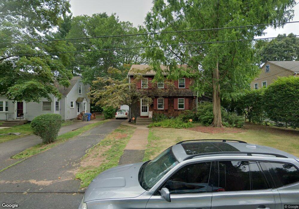
78 Phelps Rd Manchester, CT 06042
Bowers NeighborhoodEstimated Value: $292,000 - $341,000
4
Beds
2
Baths
1,690
Sq Ft
$191/Sq Ft
Est. Value
About This Home
This home is located at 78 Phelps Rd, Manchester, CT 06042 and is currently estimated at $323,514, approximately $191 per square foot. 78 Phelps Rd is a home located in Hartford County with nearby schools including Bowers School, Illing Middle School, and Elisabeth M. Bennet Academy.
Ownership History
Date
Name
Owned For
Owner Type
Purchase Details
Closed on
Nov 9, 2006
Sold by
Schneider Craig W and Schneider Virginia S
Bought by
Bailey Latrice L and Grumley Brian E
Current Estimated Value
Purchase Details
Closed on
Sep 12, 1994
Sold by
Debenedictus Rosalba M
Bought by
Reynolds Sandra K
Purchase Details
Closed on
Mar 26, 1993
Sold by
Laforge Anthony Lee and Leforge Kay B
Bought by
Laforge Kenneth L and Laforge Dori A
Create a Home Valuation Report for This Property
The Home Valuation Report is an in-depth analysis detailing your home's value as well as a comparison with similar homes in the area
Home Values in the Area
Average Home Value in this Area
Purchase History
| Date | Buyer | Sale Price | Title Company |
|---|---|---|---|
| Bailey Latrice L | $234,900 | -- | |
| Bailey Latrice L | $234,900 | -- | |
| Reynolds Sandra K | $81,000 | -- | |
| Reynolds Sandra K | $81,000 | -- | |
| Laforge Kenneth L | $115,000 | -- | |
| Laforge Kenneth L | $115,000 | -- |
Source: Public Records
Mortgage History
| Date | Status | Borrower | Loan Amount |
|---|---|---|---|
| Open | Laforge Kenneth L | $244,304 | |
| Closed | Laforge Kenneth L | $240,694 |
Source: Public Records
Tax History Compared to Growth
Tax History
| Year | Tax Paid | Tax Assessment Tax Assessment Total Assessment is a certain percentage of the fair market value that is determined by local assessors to be the total taxable value of land and additions on the property. | Land | Improvement |
|---|---|---|---|---|
| 2025 | $5,547 | $139,300 | $35,100 | $104,200 |
| 2024 | $5,388 | $139,300 | $35,100 | $104,200 |
| 2023 | $5,182 | $139,300 | $35,100 | $104,200 |
| 2022 | $5,080 | $139,300 | $35,100 | $104,200 |
| 2021 | $3,962 | $108,500 | $30,100 | $78,400 |
| 2020 | $3,962 | $108,500 | $30,100 | $78,400 |
| 2019 | $3,962 | $108,500 | $30,100 | $78,400 |
| 2018 | $3,885 | $108,500 | $30,100 | $78,400 |
| 2017 | $3,781 | $108,500 | $30,100 | $78,400 |
| 2016 | $4,070 | $116,800 | $38,900 | $77,900 |
| 2015 | $4,051 | $116,800 | $38,900 | $77,900 |
| 2014 | $3,971 | $116,800 | $38,900 | $77,900 |
Source: Public Records
Map
Nearby Homes
- 210 Green Rd
- 85 Henry St
- 40 Grove St Unit B
- 93 Hollister St
- 4 Buckingham St
- 29 Bretton Rd
- 41 Delmont St
- 213 Oakland St Unit D
- 94 Middle Turnpike E Unit 4
- 143 Benton St
- 17 North St
- 244 Oakland St Unit E
- 244 Oakland St Unit H
- 70 Weaver Rd
- 50 North St
- 74 North St
- 85 Benton St
- 178 Parker St
- 99 Union St
- 120 Green Manor Rd