78 Pike Brook Rd New London, NH 03257
Estimated Value: $3,524,000 - $10,962,896
4
Beds
8
Baths
9,095
Sq Ft
$819/Sq Ft
Est. Value
About This Home
This home is located at 78 Pike Brook Rd, New London, NH 03257 and is currently estimated at $7,452,965, approximately $819 per square foot. 78 Pike Brook Rd is a home with nearby schools including Kearsarge Elementary School - New London, Kearsarge Regional Middle School, and Kearsarge Regional High School.
Ownership History
Date
Name
Owned For
Owner Type
Purchase Details
Closed on
Oct 2, 2014
Sold by
Thomsen Carol P and Putnam Deborah D
Bought by
Pike Brook Road Ret
Current Estimated Value
Purchase Details
Closed on
Dec 3, 2012
Sold by
Credit Shelter T
Bought by
Putnam Dale S and Thomsen Carol P
Create a Home Valuation Report for This Property
The Home Valuation Report is an in-depth analysis detailing your home's value as well as a comparison with similar homes in the area
Home Values in the Area
Average Home Value in this Area
Purchase History
| Date | Buyer | Sale Price | Title Company |
|---|---|---|---|
| Pike Brook Road Ret | $1,600,000 | -- | |
| Putnam Dale S | -- | -- | |
| Thomsen Carol P | -- | -- | |
| Putnam Bruce M | -- | -- | |
| Putnam Dale S | -- | -- |
Source: Public Records
Tax History Compared to Growth
Tax History
| Year | Tax Paid | Tax Assessment Tax Assessment Total Assessment is a certain percentage of the fair market value that is determined by local assessors to be the total taxable value of land and additions on the property. | Land | Improvement |
|---|---|---|---|---|
| 2024 | $91,209 | $7,856,100 | $4,468,500 | $3,387,600 |
| 2023 | $84,924 | $7,856,100 | $4,468,500 | $3,387,600 |
| 2022 | $90,951 | $5,734,600 | $2,791,900 | $2,942,700 |
| 2021 | $88,255 | $5,734,600 | $2,791,900 | $2,942,700 |
| 2020 | $85,675 | $5,734,600 | $2,791,900 | $2,942,700 |
| 2019 | $84,356 | $5,734,600 | $2,791,900 | $2,942,700 |
| 2018 | $87,104 | $5,544,500 | $2,557,600 | $2,986,900 |
| 2017 | $88,215 | $5,510,000 | $2,557,600 | $2,952,400 |
| 2016 | $58,534 | $3,735,400 | $2,557,600 | $1,177,800 |
| 2015 | $21,721 | $1,405,900 | $1,339,500 | $66,400 |
| 2014 | $21,524 | $1,405,900 | $1,339,500 | $66,400 |
| 2013 | $22,048 | $1,465,000 | $1,395,800 | $69,200 |
Source: Public Records
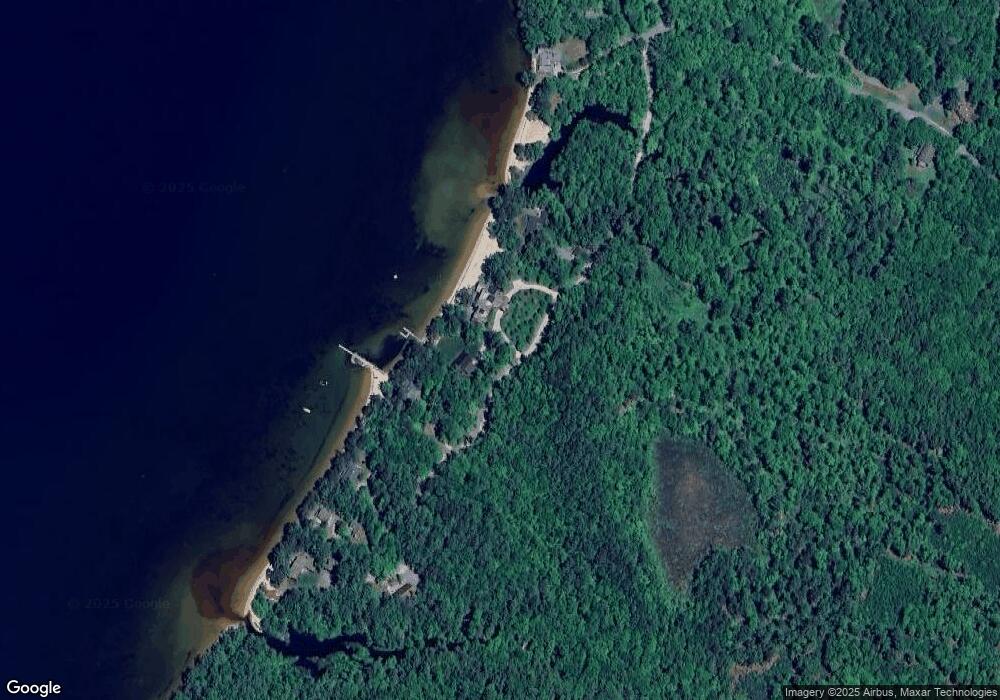
Map
Nearby Homes
- 617 & 619 Route 103a Map 91 Lot 37 38
- 37 Baker Hill Rd
- 253 Lake Ave
- 273 Forest Acres Rd
- 14 Lake Ave Unit 1
- 14 Lake Ave Unit 10
- 000 Farwell Ln Unit 17
- 106-23 Fieldstone Ln
- 91 Chalk Pond Rd
- 55 High St
- 12 Shadow Ln
- 315 Edgemont Rd
- 274 Edgemont Rd
- 0 Edgemont Rd Unit 44
- 26 Otterville Rd
- 30 Greystone Ln
- 0 Summit Rd Unit 431
- 195 Pine Hill Rd
- Lower Crest Rd
- Lot 39 Sunny Ln
- 98 Pike Brook Rd
- 96 Pike Brook Rd
- 80 Pike Brook Rd
- 74 Pike Brook Rd
- 0 Soo Nipi Park S
- 128 Pike Brook Rd
- 196 Pike Brook Rd
- 320 Soo Nipi Park Rd
- 302 Soo Nipi Park Rd
- 215 Soo Nipi Park Rd
- 215 Soo-Nipi Park
- 53 Lighthouse View Rd
- 214 Soo Nipi Park Rd
- 61 Lighthouse View Rd
- 81 Lighthouse View Rd
- 0 - 1 Lighthouse View Rd
- 0 Lighthouse View Rd
- 93 Lighthouse View Rd
- 261 Owls Nest Rd
- 217 Owls Nest Rd