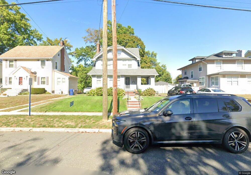
78 Ross Ave Hackensack, NJ 07601
Estimated Value: $589,000 - $695,000
Studio
--
Bath
1,736
Sq Ft
$375/Sq Ft
Est. Value
About This Home
This home is located at 78 Ross Ave, Hackensack, NJ 07601 and is currently estimated at $651,316, approximately $375 per square foot. 78 Ross Ave is a home located in Bergen County with nearby schools including Hackensack High School and Bergen County Christian Academy.
Ownership History
Date
Name
Owned For
Owner Type
Purchase Details
Closed on
Dec 31, 2018
Sold by
Guttilla Anthony and Guttilla Michael
Bought by
Botelho Ronald P and Guttilla Anthony H
Current Estimated Value
Purchase Details
Closed on
Oct 31, 2013
Sold by
Wade Lynwood
Bought by
Guttilla Michael and Guttilla Margaret
Create a Home Valuation Report for This Property
The Home Valuation Report is an in-depth analysis detailing your home's value as well as a comparison with similar homes in the area
Home Values in the Area
Average Home Value in this Area
Purchase History
| Date | Buyer | Sale Price | Title Company |
|---|---|---|---|
| Botelho Ronald P | -- | -- | |
| Guttilla Michael | $283,000 | -- |
Source: Public Records
Tax History
| Year | Tax Paid | Tax Assessment Tax Assessment Total Assessment is a certain percentage of the fair market value that is determined by local assessors to be the total taxable value of land and additions on the property. | Land | Improvement |
|---|---|---|---|---|
| 2025 | $11,432 | $374,100 | $191,300 | $182,800 |
| 2024 | $10,770 | $374,100 | $191,300 | $182,800 |
| 2023 | $10,247 | $374,100 | $191,300 | $182,800 |
| 2022 | $10,247 | $365,700 | $184,000 | $181,700 |
| 2021 | $10,044 | $299,100 | $157,000 | $142,100 |
| 2020 | $9,897 | $299,100 | $157,000 | $142,100 |
| 2019 | $9,896 | $294,800 | $155,000 | $139,800 |
| 2018 | $9,922 | $290,700 | $152,000 | $138,700 |
| 2017 | $9,784 | $286,500 | $150,000 | $136,500 |
| 2016 | $9,262 | $274,200 | $140,000 | $134,200 |
| 2015 | $9,702 | $277,200 | $156,900 | $120,300 |
| 2014 | $9,209 | $277,200 | $156,900 | $120,300 |
Source: Public Records
Map
Nearby Homes
- 31 Fairmount Ave Unit 16A
- 31 Fairmount Ave
- 140 Euclid Ave Unit 6E
- 150 Grand Ave Unit 1A
- 81 Fairmount Ave
- 55 Clinton Place Unit 502
- 208 Anderson St Unit S4F
- 208 Anderson St Unit 7SG
- 75 Pine St
- 300 Lookout Ave Unit C4
- 245 Anderson St Unit 4G
- 290 Anderson St Unit 5D
- 290 Anderson St Unit 2A
- 258 Clinton Place
- 30 Clarendon Place
- 5 Linden St Unit 3C
- 433 Park St
- 290 Clinton Place
- 67 Spring Valley Ave
- 29 Martin Terrace
Your Personal Tour Guide
Ask me questions while you tour the home.