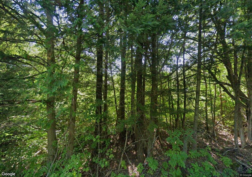
78 S Ridge Rd Palmyra, ME 04965
Estimated Value: $144,306 - $203,000
3
Beds
1
Bath
--
Sq Ft
11
Acres
About This Home
This home is located at 78 S Ridge Rd, Palmyra, ME 04965 and is currently estimated at $172,769. 78 S Ridge Rd is a home located in Somerset County with nearby schools including Somerset Elementary School, St Albans Consolidated, and Nokomis Regional Middle School/High School.
Ownership History
Date
Name
Owned For
Owner Type
Purchase Details
Closed on
Oct 23, 2024
Sold by
Laplante Heather S
Bought by
Laplante Heather S and Laplante Jason D
Current Estimated Value
Home Financials for this Owner
Home Financials are based on the most recent Mortgage that was taken out on this home.
Original Mortgage
$203,629
Outstanding Balance
$201,427
Interest Rate
6.2%
Mortgage Type
Purchase Money Mortgage
Estimated Equity
-$28,658
Purchase Details
Closed on
May 28, 2013
Sold by
Fletcher Deanne L
Bought by
Fletcher Heather S
Purchase Details
Closed on
Jun 2, 2008
Sold by
Cray Dean A
Bought by
Fletcher Deanne L
Create a Home Valuation Report for This Property
The Home Valuation Report is an in-depth analysis detailing your home's value as well as a comparison with similar homes in the area
Home Values in the Area
Average Home Value in this Area
Purchase History
| Date | Buyer | Sale Price | Title Company |
|---|---|---|---|
| Laplante Heather S | -- | None Available | |
| Laplante Heather S | -- | None Available | |
| Fletcher Heather S | -- | -- | |
| Fletcher Deanne L | -- | -- | |
| Fletcher Heather S | -- | -- | |
| Fletcher Deanne L | -- | -- |
Source: Public Records
Mortgage History
| Date | Status | Borrower | Loan Amount |
|---|---|---|---|
| Open | Laplante Heather S | $203,629 | |
| Closed | Laplante Heather S | $203,629 |
Source: Public Records
Tax History Compared to Growth
Tax History
| Year | Tax Paid | Tax Assessment Tax Assessment Total Assessment is a certain percentage of the fair market value that is determined by local assessors to be the total taxable value of land and additions on the property. | Land | Improvement |
|---|---|---|---|---|
| 2024 | $975 | $88,670 | $35,350 | $53,320 |
| 2023 | $1,005 | $91,320 | $38,000 | $53,320 |
| 2022 | $1,012 | $59,500 | $26,300 | $33,200 |
| 2021 | $1,056 | $59,500 | $26,300 | $33,200 |
| 2020 | $1,071 | $59,500 | $26,300 | $33,200 |
| 2019 | $1,047 | $59,500 | $26,300 | $33,200 |
| 2018 | $1,065 | $56,800 | $23,600 | $33,200 |
| 2017 | $1,022 | $56,800 | $23,600 | $33,200 |
| 2016 | $943 | $53,100 | $19,900 | $33,200 |
| 2015 | $881 | $53,100 | $19,900 | $33,200 |
| 2012 | -- | $45,400 | $19,300 | $26,100 |
Source: Public Records
Map
Nearby Homes
- M2 L21-2 S Ridge Rd
- 59 Camp Rd
- 8 Hicks Pond Rd
- 114 Millers Corner Rd
- 84 Hicks Pond Rd
- PO M7 L3-1 Wyman Rd
- 191 Wyman Rd
- Po M7 L3-1 Wyman Rd
- lot 29B Windfall Ln
- 67 Tacconet Rd
- Lot 8 Dogtown Rd
- 630C Warren Hill Rd
- 630B Warren Hill Rd
- M1 L36-3 Main St
- 154 Main St
- 1 Gleneagle Ct Unit 1
- 700 Warren Hill Rd
- 156 Waverly Ave
- 182 North Rd
- 47 Higgins Rd
