78 Smith Fork Creek Rd Lancaster, TN 38569
Estimated Value: $188,000 - $663,000
--
Bed
1
Bath
971
Sq Ft
$381/Sq Ft
Est. Value
About This Home
This home is located at 78 Smith Fork Creek Rd, Lancaster, TN 38569 and is currently estimated at $369,471, approximately $380 per square foot. 78 Smith Fork Creek Rd is a home located in Smith County with nearby schools including Gordonsville Elementary School and Gordonsville High School.
Ownership History
Date
Name
Owned For
Owner Type
Purchase Details
Closed on
Jun 16, 2023
Sold by
Cowan Darla
Bought by
Glover Lori B
Current Estimated Value
Purchase Details
Closed on
Mar 29, 2005
Sold by
Bobbie Woods
Bought by
Cowan Solon K
Purchase Details
Closed on
Jan 21, 2005
Bought by
Cowan Solon K and Cowan Darla D
Purchase Details
Closed on
Aug 15, 1987
Bought by
Woods Ralph R and Woods Bobbye M
Create a Home Valuation Report for This Property
The Home Valuation Report is an in-depth analysis detailing your home's value as well as a comparison with similar homes in the area
Home Values in the Area
Average Home Value in this Area
Purchase History
| Date | Buyer | Sale Price | Title Company |
|---|---|---|---|
| Glover Lori B | -- | None Listed On Document | |
| Cowan Solon K | $25,000 | -- | |
| Cowan Solon K | $25,000 | -- | |
| Woods Ralph R | -- | -- |
Source: Public Records
Tax History Compared to Growth
Tax History
| Year | Tax Paid | Tax Assessment Tax Assessment Total Assessment is a certain percentage of the fair market value that is determined by local assessors to be the total taxable value of land and additions on the property. | Land | Improvement |
|---|---|---|---|---|
| 2024 | $540 | $31,175 | $12,750 | $18,425 |
| 2023 | $540 | $31,175 | $0 | $0 |
| 2022 | $540 | $31,175 | $12,750 | $18,425 |
| 2021 | $513 | $20,675 | $11,075 | $9,600 |
| 2020 | $564 | $20,675 | $11,075 | $9,600 |
| 2019 | $564 | $20,675 | $11,075 | $9,600 |
| 2018 | $442 | $20,675 | $11,075 | $9,600 |
| 2017 | $442 | $20,675 | $11,075 | $9,600 |
| 2016 | $408 | $17,575 | $9,575 | $8,000 |
| 2015 | $408 | $17,575 | $9,575 | $8,000 |
| 2014 | $408 | $17,575 | $9,575 | $8,000 |
Source: Public Records
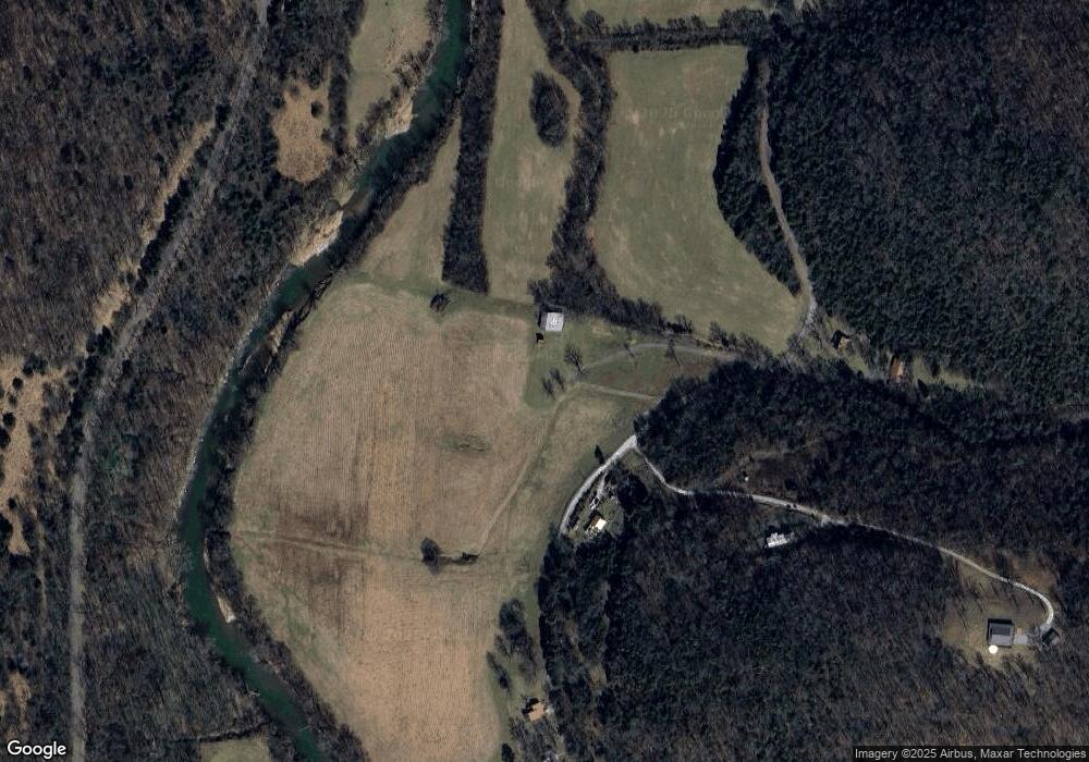
Map
Nearby Homes
- 10 Temperance Cir
- 0 Temperance Cir
- 584 Lancaster Hwy
- 732 Lancaster Hwy
- 0 Harbor Dr Unit RTC3001271
- 0 Harbor Dr Unit RTC2996114
- 742 Lancaster Hwy
- 6 Bay Dr
- 12 Congo Bottom Ln
- 0 Nabors Hollow Ln
- 0 Long Branch Rd Unit 238990
- 0 Long Branch Rd Unit RTC2985993
- 678 Love Valley Rd
- 43 Moss Bend Ln
- 7720 Dale Ridge Rd
- 7383 Dale Ridge Rd
- 22 Judkins Ln
- 84 Judd Ln
- 0 Lancaster Hwy
- 574 Hayes Ridge Rd
- 87 Smith Fork Creek Rd
- 10 Sims Ln
- 96 Smith Fork Creek Rd
- 5 Williams Hollow Ln
- 100 Smith Fork Creek Rd
- 102 Smith Fork Creek Rd
- 101 Smith Fork Creek Rd
- 50 Smith Fork Creek Rd
- 7 Maynard Hollow Ln S
- 26 Sims Ln
- 106 Smith Fork Creek Rd
- 106 Smith Fork Creek Rd
- 19 Maynard Hollow Ln S
- 21 Maynard Hollow Ln
- 21 Maynard Hollow Ln S
- 0 Bay Dive Unit 228676
- 5 Temperance Valley Rd
- 130 Mountain View Ln
- 3 Temperance Valley Rd
- 0 Cowan Valley Ln Unit 229571