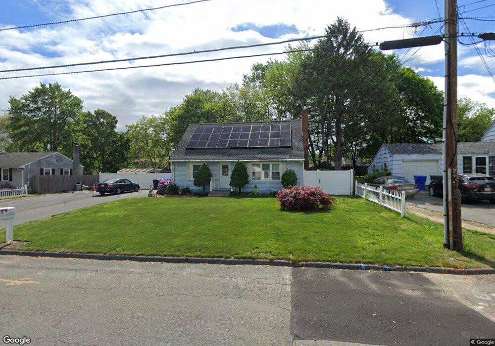
78 Sparrow Dr Springfield, MA 01119
Sixteen Acres NeighborhoodEstimated Value: $304,000 - $335,000
4
Beds
2
Baths
1,344
Sq Ft
$239/Sq Ft
Est. Value
About This Home
This home is located at 78 Sparrow Dr, Springfield, MA 01119 and is currently estimated at $320,959, approximately $238 per square foot. 78 Sparrow Dr is a home located in Hampden County with nearby schools including Mary M. Lynch Elementary School, John J Duggan Middle, and Springfield Central High School.
Ownership History
Date
Name
Owned For
Owner Type
Purchase Details
Closed on
Aug 18, 2004
Sold by
Wilson Margaret J and Wilson Wayne A
Bought by
Wilson Wayne A
Current Estimated Value
Home Financials for this Owner
Home Financials are based on the most recent Mortgage that was taken out on this home.
Original Mortgage
$25,000
Outstanding Balance
$12,422
Interest Rate
6.03%
Mortgage Type
Purchase Money Mortgage
Estimated Equity
$308,537
Purchase Details
Closed on
Nov 16, 1992
Sold by
Murchison Carol A
Bought by
Wilson Margaret J and Wilson Wayne A
Home Financials for this Owner
Home Financials are based on the most recent Mortgage that was taken out on this home.
Original Mortgage
$78,800
Interest Rate
7.88%
Mortgage Type
Purchase Money Mortgage
Create a Home Valuation Report for This Property
The Home Valuation Report is an in-depth analysis detailing your home's value as well as a comparison with similar homes in the area
Home Values in the Area
Average Home Value in this Area
Purchase History
| Date | Buyer | Sale Price | Title Company |
|---|---|---|---|
| Wilson Wayne A | -- | -- | |
| Wilson Margaret J | $78,000 | -- |
Source: Public Records
Mortgage History
| Date | Status | Borrower | Loan Amount |
|---|---|---|---|
| Open | Wilson Wayne A | $25,000 | |
| Previous Owner | Wilson Margaret J | $92,700 | |
| Previous Owner | Wilson Margaret J | $78,800 | |
| Previous Owner | Wilson Margaret J | $30,000 | |
| Previous Owner | Wilson Margaret J | $17,000 |
Source: Public Records
Tax History
| Year | Tax Paid | Tax Assessment Tax Assessment Total Assessment is a certain percentage of the fair market value that is determined by local assessors to be the total taxable value of land and additions on the property. | Land | Improvement |
|---|---|---|---|---|
| 2025 | $3,882 | $247,600 | $52,400 | $195,200 |
| 2024 | $3,906 | $243,200 | $52,400 | $190,800 |
| 2023 | $3,468 | $203,400 | $49,900 | $153,500 |
| 2022 | $3,118 | $165,700 | $49,900 | $115,800 |
| 2021 | $3,060 | $161,900 | $45,300 | $116,600 |
| 2020 | $3,113 | $159,400 | $45,300 | $114,100 |
| 2019 | $2,924 | $148,600 | $45,300 | $103,300 |
| 2018 | $2,930 | $148,900 | $45,300 | $103,600 |
| 2017 | $2,892 | $147,100 | $45,200 | $101,900 |
| 2016 | $2,632 | $133,900 | $45,200 | $88,700 |
| 2015 | $2,634 | $133,900 | $45,200 | $88,700 |
Source: Public Records
Map
Nearby Homes
- 381 N Brook Rd
- 854 Grayson Dr
- 130 Spear Rd
- 63 Granger St
- 186 Bolton St
- 195 Almira Rd
- 56 Contessa Ln
- 64 Wilmington St
- 106-108 Breckwood Cir
- 106 Almira Rd
- 187 Lamont St
- - Glenwood St
- 70 Shumway St Unit 29
- 39 Wallace St
- 34 Wallace St
- 42 Better Way
- 40 Better Way
- 251 Rosewell St
- 32 Better Way
- 42 Pioneer Way
- 86 Sparrow Dr
- 68 Sparrow Dr
- 83 Pidgeon Dr
- 0 Rear Gatewood Rd Unit 71328170
- 0 Rear Gatewood Rd Unit 71473798
- 91 Pidgeon Dr
- 73 Pidgeon Dr
- rear Gatewood Rd
- 73 Sparrow Dr
- 96 Sparrow Dr
- 58 Sparrow Dr
- 89 Sparrow Dr
- 61 Sparrow Dr
- 99 Pidgeon Dr
- 63 Pidgeon Dr
- 16 Partridge Dr
- 104 Sparrow Dr
- 50 Sparrow Dr
- 15 Partridge Dr
- 14 Starling Rd
Your Personal Tour Guide
Ask me questions while you tour the home.