Estimated Value: $160,000 - $230,000
--
Bed
--
Bath
--
Sq Ft
5.8
Acres
About This Home
This home is located at 78 West Rd, Solon, ME 04979 and is currently estimated at $196,745. 78 West Rd is a home.
Ownership History
Date
Name
Owned For
Owner Type
Purchase Details
Closed on
Sep 14, 2023
Sold by
Lehay Bradon E
Bought by
Lehay Brandon E and Lehay Kristen A
Current Estimated Value
Home Financials for this Owner
Home Financials are based on the most recent Mortgage that was taken out on this home.
Original Mortgage
$97,000
Outstanding Balance
$94,992
Interest Rate
7.09%
Mortgage Type
Purchase Money Mortgage
Estimated Equity
$101,753
Purchase Details
Closed on
May 28, 2020
Sold by
Lehay Tricia A
Bought by
Lehay Brandon E
Home Financials for this Owner
Home Financials are based on the most recent Mortgage that was taken out on this home.
Original Mortgage
$108,580
Interest Rate
3.99%
Mortgage Type
Stand Alone Refi Refinance Of Original Loan
Create a Home Valuation Report for This Property
The Home Valuation Report is an in-depth analysis detailing your home's value as well as a comparison with similar homes in the area
Home Values in the Area
Average Home Value in this Area
Purchase History
| Date | Buyer | Sale Price | Title Company |
|---|---|---|---|
| Lehay Brandon E | -- | None Available | |
| Lehay Brandon E | -- | None Available | |
| Lehay Brandon E | -- | None Available | |
| Lehay Brandon E | -- | None Available |
Source: Public Records
Mortgage History
| Date | Status | Borrower | Loan Amount |
|---|---|---|---|
| Open | Lehay Brandon E | $97,000 | |
| Closed | Lehay Brandon E | $97,000 | |
| Previous Owner | Lehay Brandon E | $108,580 |
Source: Public Records
Tax History Compared to Growth
Tax History
| Year | Tax Paid | Tax Assessment Tax Assessment Total Assessment is a certain percentage of the fair market value that is determined by local assessors to be the total taxable value of land and additions on the property. | Land | Improvement |
|---|---|---|---|---|
| 2024 | $2,129 | $123,760 | $39,760 | $84,000 |
| 2023 | $1,821 | $103,470 | $30,320 | $73,150 |
| 2022 | $1,693 | $101,990 | $28,840 | $73,150 |
| 2021 | $1,789 | $100,510 | $27,360 | $73,150 |
| 2020 | $1,849 | $100,510 | $27,360 | $73,150 |
| 2019 | $1,715 | $88,860 | $22,360 | $66,500 |
| 2018 | $1,674 | $89,500 | $23,000 | $66,500 |
| 2017 | $1,638 | $89,500 | $23,000 | $66,500 |
| 2016 | $1,593 | $89,500 | $23,000 | $66,500 |
| 2015 | $1,566 | $89,500 | $23,000 | $66,500 |
| 2014 | $1,486 | $89,500 | $23,000 | $66,500 |
| 2008 | -- | $76,500 | $0 | $0 |
Source: Public Records
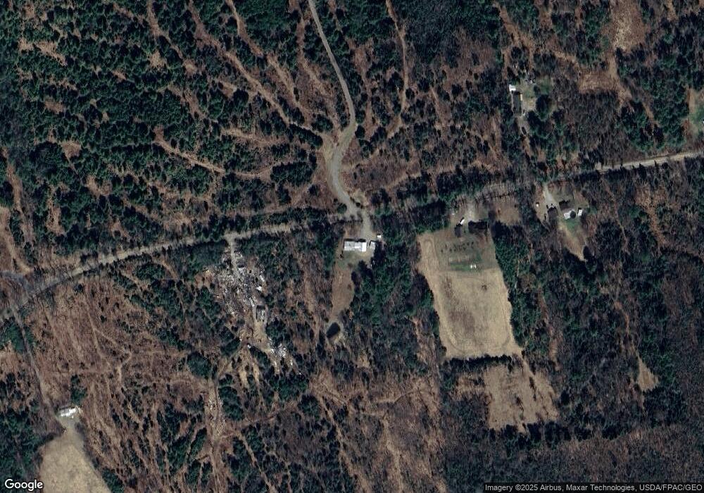
Map
Nearby Homes
- 1497 B River Rd
- 2 S Solon Rd
- 21 River Rd
- 327 Kennebec River Rd
- 305 Kennebec River Rd
- 1631 Lakewood Rd
- 121 Parkman Hill Rd
- 146 Ferry St
- 40 S Main St
- 12B York St Unit B
- 67 Pleasant St
- 047-025 Cardinal Dr
- 20 Blue Jay Dr
- 57 Cranberry Dr
- 1397 Lakewood Rd
- 6 Locust Dr
- 00 Fahi Pond Rd
- Lot 5-5 River Rd
- 38 Drury Rd
- 59 Drury Rd