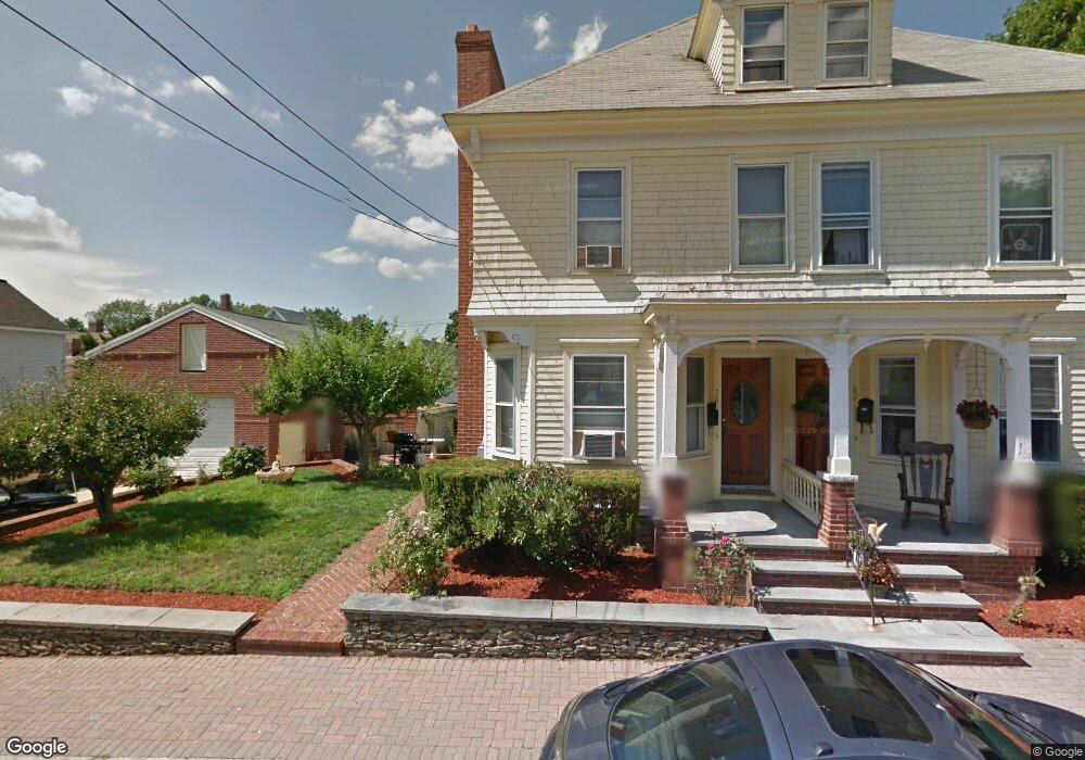
78 Whitney Ave Lowell, MA 01850
Centralville NeighborhoodEstimated Value: $754,850 - $861,000
6
Beds
2
Baths
3,796
Sq Ft
$214/Sq Ft
Est. Value
About This Home
This home is located at 78 Whitney Ave, Lowell, MA 01850 and is currently estimated at $814,213, approximately $214 per square foot. 78 Whitney Ave is a home located in Middlesex County with nearby schools including S. Christa McAuliffe Elementary School, Greenhalge Elementary School, and Moody Elementary School.
Ownership History
Date
Name
Owned For
Owner Type
Purchase Details
Closed on
Sep 18, 2014
Sold by
Francisco Jose L and Francisco Herminia R
Bought by
78-80 Whitney Avenue I and 78-80 Francisco
Current Estimated Value
Purchase Details
Closed on
Sep 9, 1982
Bought by
Francisco Jose L
Create a Home Valuation Report for This Property
The Home Valuation Report is an in-depth analysis detailing your home's value as well as a comparison with similar homes in the area
Home Values in the Area
Average Home Value in this Area
Purchase History
| Date | Buyer | Sale Price | Title Company |
|---|---|---|---|
| 78-80 Whitney Avenue I | -- | -- | |
| 78-80 Whitney Avenue I | -- | -- | |
| Francisco Jose L | $55,000 | -- |
Source: Public Records
Mortgage History
| Date | Status | Borrower | Loan Amount |
|---|---|---|---|
| Previous Owner | Francisco Jose L | $83,300 |
Source: Public Records
Tax History Compared to Growth
Tax History
| Year | Tax Paid | Tax Assessment Tax Assessment Total Assessment is a certain percentage of the fair market value that is determined by local assessors to be the total taxable value of land and additions on the property. | Land | Improvement |
|---|---|---|---|---|
| 2025 | $8,783 | $765,100 | $147,200 | $617,900 |
| 2024 | $7,934 | $666,200 | $137,600 | $528,600 |
| 2023 | $7,592 | $611,300 | $119,600 | $491,700 |
| 2022 | $6,650 | $524,000 | $108,800 | $415,200 |
| 2021 | $6,363 | $472,700 | $94,600 | $378,100 |
| 2020 | $5,733 | $429,100 | $82,600 | $346,500 |
| 2019 | $5,118 | $364,500 | $76,500 | $288,000 |
| 2018 | $4,793 | $333,100 | $72,900 | $260,200 |
| 2017 | $4,761 | $319,100 | $66,300 | $252,800 |
| 2016 | $4,627 | $305,200 | $64,700 | $240,500 |
| 2015 | $4,341 | $280,400 | $64,700 | $215,700 |
| 2013 | $4,195 | $279,500 | $75,600 | $203,900 |
Source: Public Records
Map
Nearby Homes
- 575 Beacon St
- 44 19th St
- 12 Pemberton St
- 28 May St
- 18 May St
- 108 Billings St
- 650 Robbins Ave Unit 33
- 700 Robbins Ave Unit 6
- 2 Sutherland St
- 675 Robbins Ave Unit 1
- 35 Thissell Ave
- 88 11th St
- 345 Hildreth St Unit 14
- 349 Hildreth St Unit 16
- 363 Hildreth St Unit 11
- 87 Lilley Ave
- 4 Hazelwood Ave Unit 12
- 195 Ludlam St
- 11 View St
- 3 Hamel Place