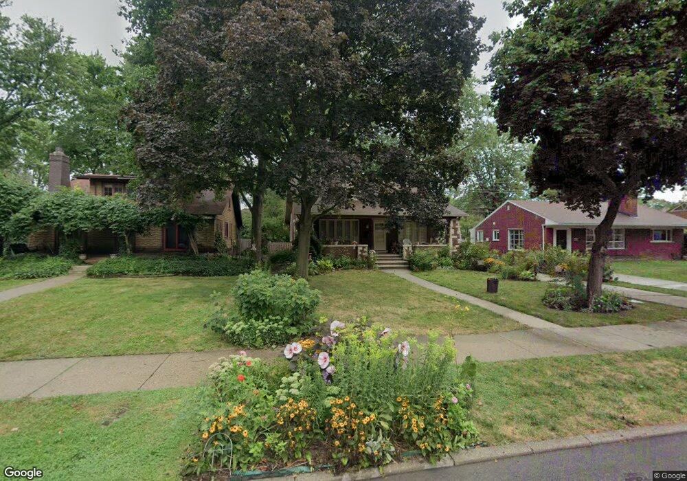
780 Barrington Rd Grosse Pointe Park, MI 48230
Estimated Value: $327,764 - $467,000
Studio
--
Bath
1,813
Sq Ft
$223/Sq Ft
Est. Value
About This Home
This home is located at 780 Barrington Rd, Grosse Pointe Park, MI 48230 and is currently estimated at $403,941, approximately $222 per square foot. 780 Barrington Rd is a home located in Wayne County with nearby schools including Pierce Middle School, Grosse Pointe South High School, and Detroit Merit Charter Academy.
Ownership History
Date
Name
Owned For
Owner Type
Purchase Details
Closed on
Oct 13, 2014
Sold by
Donnell Iii James H O and Stelma Christine
Bought by
James H O Donnell and James Christine Stelma
Current Estimated Value
Create a Home Valuation Report for This Property
The Home Valuation Report is an in-depth analysis detailing your home's value as well as a comparison with similar homes in the area
Home Values in the Area
Average Home Value in this Area
Purchase History
| Date | Buyer | Sale Price | Title Company |
|---|---|---|---|
| James H O Donnell | -- | None Available |
Source: Public Records
Tax History
| Year | Tax Paid | Tax Assessment Tax Assessment Total Assessment is a certain percentage of the fair market value that is determined by local assessors to be the total taxable value of land and additions on the property. | Land | Improvement |
|---|---|---|---|---|
| 2025 | $2,806 | $179,800 | $0 | $0 |
| 2024 | $2,701 | $166,600 | $0 | $0 |
| 2023 | $2,579 | $147,300 | $0 | $0 |
| 2022 | $2,450 | $136,200 | $0 | $0 |
| 2021 | $4,831 | $134,400 | $0 | $0 |
| 2019 | $4,972 | $119,600 | $0 | $0 |
| 2018 | $2,336 | $106,200 | $0 | $0 |
| 2017 | $5,565 | $76,600 | $0 | $0 |
| 2016 | $5,050 | $102,300 | $0 | $0 |
| 2015 | $8,743 | $97,400 | $0 | $0 |
| 2013 | $8,470 | $86,100 | $0 | $0 |
| 2012 | $2,277 | $90,200 | $36,000 | $54,200 |
Source: Public Records
Map
Nearby Homes
- 784 Barrington Rd
- 785 Barrington Rd
- 611 Ashland St
- 487 Philip St
- 883 Lakepointe St
- 709 Ashland St
- 636 Middlesex Rd
- 926 Nottingham Rd Unit 928
- 877 Manistique St
- 712 Chalmers St
- 908 Manistique St
- 225 Ashland St
- 678 Lakewood St
- 503 Lakewood St
- 438 Newport St
- 14536 E Jefferson Ave
- 204 Philip St
- 178 Ashland St
- 74 Pointe Park Place Unit 311
- 26 Pointe Park Place Unit 303
- 770 Barrington Rd
- 781 Pemberton Rd
- 764 Barrington Rd
- 773 Pemberton Rd
- 765 Pemberton Rd
- 758 Barrington Rd
- 789 Pemberton Rd
- 777 Barrington Rd
- 800 Barrington Rd
- 755 Pemberton Rd
- 765 Barrington Rd
- 752 Barrington Rd
- 759 Barrington Rd
- 801 Barrington Rd
- 771 Barrington Rd
- 802 Barrington Rd
- 751 Pemberton Rd
- 746 Barrington Rd
- 803 Barrington Rd
- 753 Barrington Rd
Your Personal Tour Guide
Ask me questions while you tour the home.