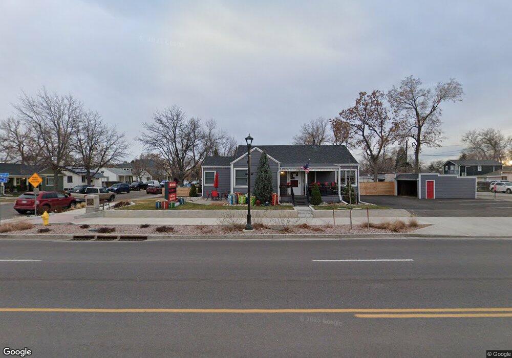
7800 Ralston Rd Arvada, CO 80002
Olde Town Arvada NeighborhoodEstimated Value: $428,022
--
Bed
--
Bath
1,258
Sq Ft
$340/Sq Ft
Est. Value
About This Home
This home is located at 7800 Ralston Rd, Arvada, CO 80002 and is currently estimated at $428,022, approximately $340 per square foot. 7800 Ralston Rd is a home located in Jefferson County with nearby schools including Lawrence Elementary School, Arvada K-8, and North Arvada Middle School.
Ownership History
Date
Name
Owned For
Owner Type
Purchase Details
Closed on
Oct 5, 2020
Sold by
Starry Holdings Llc
Bought by
City Of Arvada
Current Estimated Value
Purchase Details
Closed on
Nov 15, 2017
Sold by
Kelly Daniel P and Kelly Kathleen A
Bought by
Starry Holdings Llc
Home Financials for this Owner
Home Financials are based on the most recent Mortgage that was taken out on this home.
Original Mortgage
$275,000
Interest Rate
7%
Mortgage Type
Unknown
Create a Home Valuation Report for This Property
The Home Valuation Report is an in-depth analysis detailing your home's value as well as a comparison with similar homes in the area
Home Values in the Area
Average Home Value in this Area
Purchase History
| Date | Buyer | Sale Price | Title Company |
|---|---|---|---|
| City Of Arvada | -- | None Available | |
| Starry Holdings Llc | $275,000 | Land Title Guarantee Co |
Source: Public Records
Mortgage History
| Date | Status | Borrower | Loan Amount |
|---|---|---|---|
| Previous Owner | Starry Holdings Llc | $275,000 |
Source: Public Records
Tax History Compared to Growth
Tax History
| Year | Tax Paid | Tax Assessment Tax Assessment Total Assessment is a certain percentage of the fair market value that is determined by local assessors to be the total taxable value of land and additions on the property. | Land | Improvement |
|---|---|---|---|---|
| 2024 | $13,850 | $142,787 | $32,259 | $110,528 |
| 2023 | $13,850 | $142,787 | $32,259 | $110,528 |
| 2022 | $11,302 | $115,402 | $29,226 | $86,176 |
| 2021 | $11,167 | $115,402 | $29,226 | $86,176 |
| 2020 | $10,399 | $107,761 | $29,226 | $78,535 |
| 2019 | $10,259 | $107,761 | $29,226 | $78,535 |
| 2018 | $7,117 | $72,687 | $26,508 | $46,179 |
| 2017 | $6,515 | $72,687 | $26,508 | $46,179 |
| 2016 | $7,078 | $73,515 | $18,386 | $55,129 |
| 2015 | $6,844 | $73,515 | $18,386 | $55,129 |
| 2014 | $6,844 | $67,599 | $16,907 | $50,692 |
Source: Public Records
Map
Nearby Homes
- 7707 Ralston Rd
- 0000S Balsam St Unit 1
- 0000N Balsam St Unit 1
- 6009 Yarrow St Unit K
- 6007 Yarrow St Unit D
- 7931 W 55th Ave Unit 308
- 6455 Orn Ville Aly
- 7303 W 59th Ave
- 5465 Zephyr St Unit 201
- 5409 Zephyr Ct Unit 5409
- 5419 Allison St Unit G
- 6176 Ammons St
- 7011 Grandview Ave
- 6164 Brentwood St
- 5600 Dover St
- 6150 Carr St
- 6055 Cody St
- 7365 W 61st Ave
- 5396 Balsam St
- 8237 W 54th Ave Unit 2
- 5719 Yarrow St
- 7804 Ralston Rd
- 5717 Yarrow St
- 7884 Ralston Rd
- 5720 Zephyr St
- 7803 Ralston Rd
- 5718 Zephyr St
- 5720 Yarrow St
- 7805 Ralston Rd
- 5715 Yarrow St
- 7711 Ralston Rd
- 5716 Zephyr St
- 5718 Yarrow St
- 5714 Zephyr St
- 7709 Ralston Rd
- 5713 Yarrow St
- 5716 Yarrow St
- 5712 Zephyr St
- 5714 Yarrow St
- 7804 Robinson Way